Setting off from Tampa and heading to Bradenton is a delightful journey filled with picturesque views and a mix of urban landscape and natural beauty. This route is particularly suitable for recreational boaters looking to explore the waters of Florida’s Gulf Coast, and it safely accommodates those who may be relatively new to boating, as the waterways here are well-marked with navigational aids.
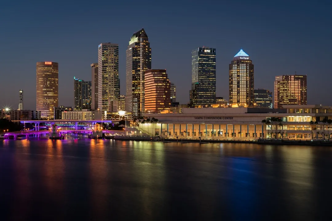
Begin your adventure at Tampa, where you can appreciate the vibrant city backdrop before heading out to the open waters. As you set sail, make sure to check local weather conditions, and be equipped with a reliable marine radio to stay updated on changes.
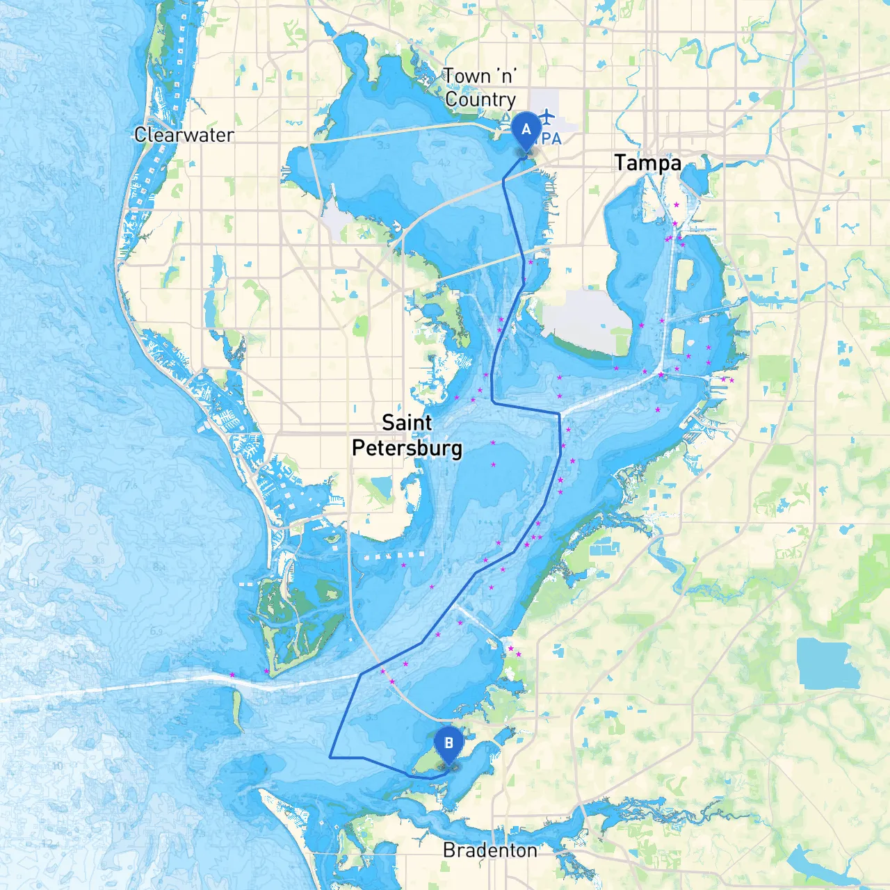
The direct distance from Tampa to Bradenton is approximately 25 nautical miles. However, you’ll want to navigate through some intriguing routes, making use of various waterways and possibly stopping at strategic points.
As you exit Tampa Bay, keep an eye out for navigational markers, particularly the “Tampa Bay Channel” buoy markers that lead you safely through the bay. Pay attention to the following key markers and aids:
1. Tampa Bay Entrance: Watch for channel markers as you navigate through the Tampa Bay's busy entrance.2. Skyway Bridge: One of the key landmarks on your journey, the Sunshine Skyway Bridge can be identified from a distance. Ensure you maintain your safe distance when passing underneath, as frequent shipping traffic crosses this route.3. Mullet Key: The waters around Mullet Key are known for their beauty, but also be cautious here; the area can become populated with recreational watercraft.4. Pinellas Bayway: Keep an eye out for any changes in water flow or currents as you approach these areas.
On your way, you might consider making a few stops to enjoy the ambiance or find shelter if necessary.
Before departing, check the local weather forecast. Thunderstorms can frequently pop up in Florida, especially during the summer, so having multiple routes planned is beneficial. Make use of weather apps like Zello or Savvy Navvy, which offer real-time navigation guidance and weather tracking.
In addition, familiarize yourself with the local boating regulations, particularly in crowded areas. The use of life jackets is mandatory, and you should have fire extinguishers and flares onboard.
Upon reaching Bradenton, you’ll find a vibrant city welcoming you with its historic downtown and various recreational opportunities. The Manatee River offers numerous docking facilities and is a fantastic place to explore the local culture and scenery.
This route from Tampa to Bradenton is not merely about reaching a destination; it’s about enjoying the journey with stunning waterways, strategic stops for safety, and the natural beauty of Florida. By prioritizing safety with a keen awareness of the navigational aids and weather, you can ensure that your experience is not only fun but also secure. Bon voyage!