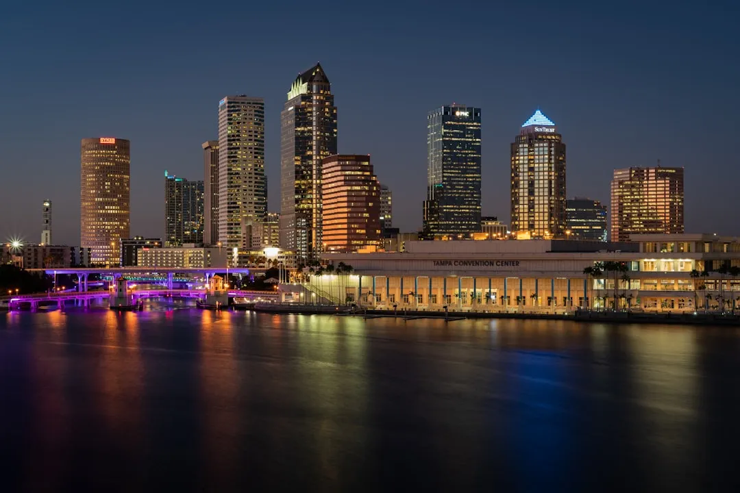
Pilotage Plan: Tampa, Florida to Venice, Florida
Embarking on a journey from Tampa to Venice offers a unique blend of bustling city charm and picturesque coastal scenery. This is a perfect route for both experienced boaters and those newer to the cruising lifestyle, as it combines enjoyable routes with ample opportunities for safe harbor. Here’s a detailed plan to navigate these waters.
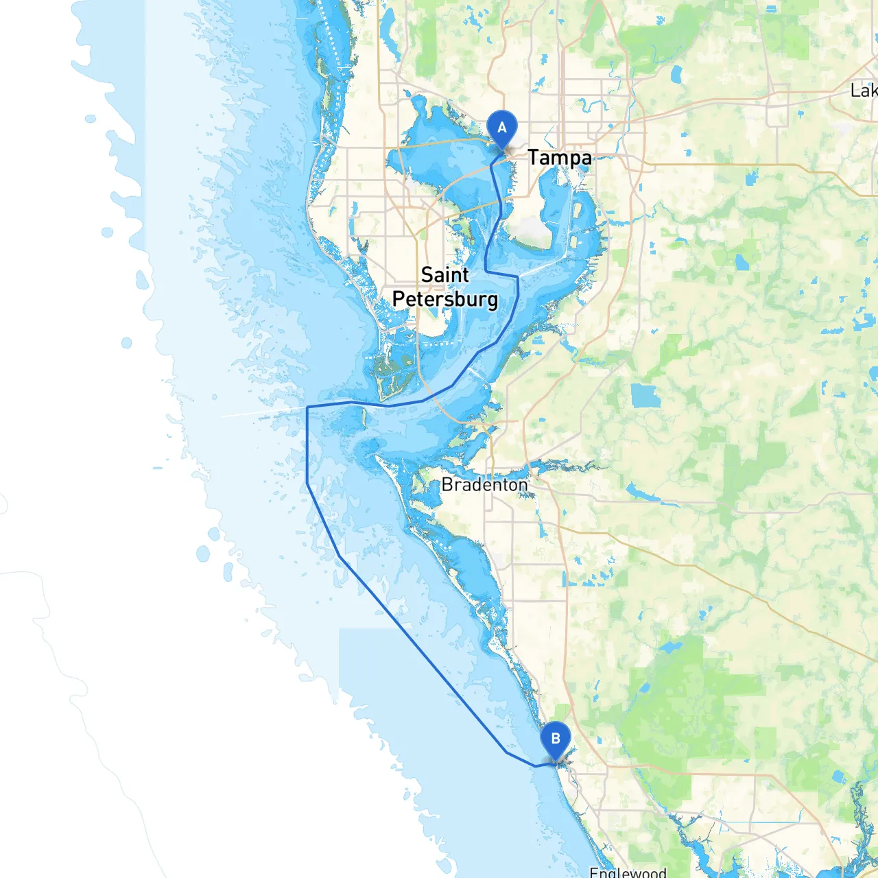
Your route takes you southward along the western shores of Florida, traversing Tampa Bay, making your way through the intricate landscape of the Gulf Coast waterways, and concluding in the beautiful surroundings of Venice.
Starting from Tampa Bay, you’ll want to take advantage of the navigational aids in the bay. The area is equipped with navigational buoys and markers, providing safe passage from the bustling harbor. As you exit the bay, keep a keen eye on the shipping lanes: large vessels frequent this area, and awareness is crucial.
Hazards to Look Out For:
1. Egmont Key: On your way south, consider making a detour toward Egmont Key State Park. This serene island offers pristine beaches, wildlife watching opportunities, and a historic lighthouse. It’s a great place for a picnic or a quick swim.
2. Anna Maria Island: As you cruise further south, take note of Anna Maria Island. This hidden gem hosts stunning beaches and charming local shops. A stop here can provide a delightful break and an opportunity to appreciate the quaint island atmosphere.
3. Longboat Key: This area is known for upscale resorts and marinas. You might want to take a break here or simply enjoy the views of the luxurious yachts bobbing in the marinas.
If you encounter inclement weather or strong winds, several sheltered bays and inlets can provide safe haven:
1. Sarasota Bay: A large bay providing ample space for anchoring or docking at nearby marinas. It’s a good place to seek refuge.
2. Siesta Key: This popular area is not only known for its beautiful stretch of beach but also offers anchorages that can help the weary boater find calm waters during a storm.
This journey from Tampa to Venice is a remarkable opportunity to experience Florida’s captivating coastal landscape while enjoying the tranquility of its secluded spots along the way. Whether you seek a day out with family or a solo adventure, this route allows ample opportunities for both exploration and safety. Just remember: preparation is key. Plan to stay informed about weather changes, remain watchful for navigational aids, and be mindful of local boating regulations.
May your voyage be smooth, your adventures unforgettable, and your time on the water as secure as it is enjoyable!