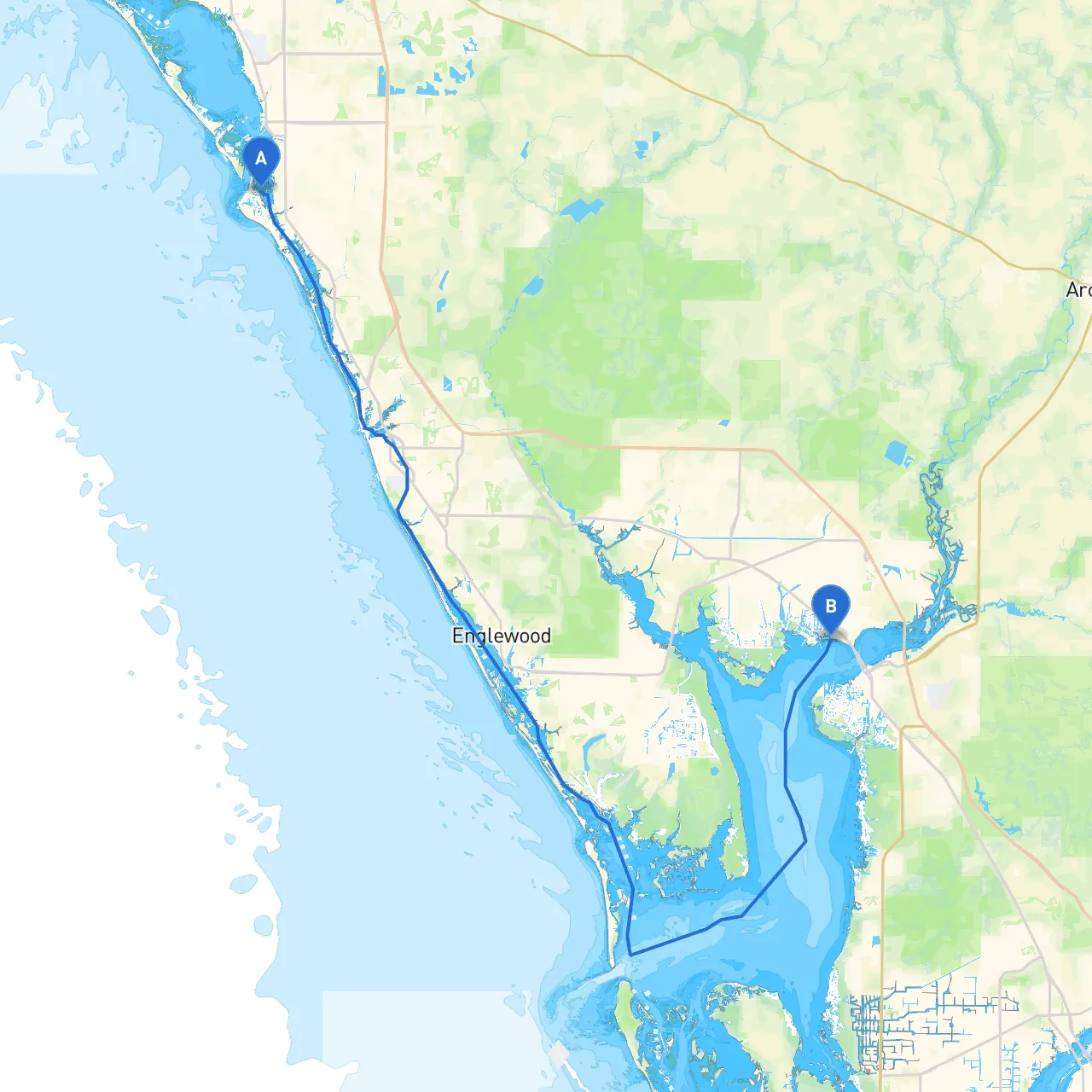
Pilotage Plan: Siesta Key, Florida to Port Charlotte, Florida
This journey from Siesta Key to Port Charlotte offers an enchanting cruising experience along Florida's Gulf Coast. Although the trip spans approximately 25 nautical miles, it reveals a treasure trove of natural beauty, wildlife, and small-town charm, making it ideal for cruisers with moderate experience. Boaters will be able to navigate through serene waterways, enjoy the stunning coastal landscapes, and have access to safe harbors if conditions change. During this trip, safety is paramount, and we will explore strategic bays, navigational aids, and local regulations to keep you safe while providing an enjoyable experience.
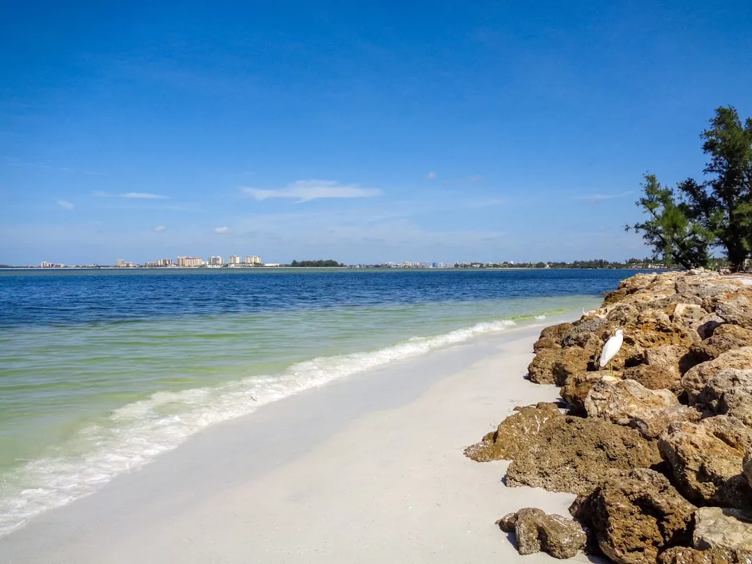
Starting Point: Siesta Key, Florida
1. Preparation and Departure: - Begin by checking your boat’s equipment and safety gear, including life jackets, navigation lights, and fire extinguishers. - Ensure you have up-to-date charts of the area and access to weather forecasts. The NOAA weather radio is a reliable source of information for real-time updates. - Set off from the docks at Siesta Key, enjoying the beautiful Gulf waters as you power northward.
Notable Points of Interest: - Siesta Beach: Famous for its sugar-white sand, a quick detour to enjoy a swim or a picnic here can refresh the journey. - Bird Key: A small island just off the coast that is a nesting habitat for various bird species, perfect for some wildlife spotting.
2. Navigating Sarasota Bay: - As you enter Sarasota Bay, stay aware of the numerous anchored vessels and navigational marks. - Navigational Aids to Note: Be guided by the red and green buoys along the channel leading towards the ICW (Intracoastal Waterway). - Shelter Opportunities: If conditions turn unfavorable, consider seeking refuge in Roberts Bay, which provides excellent protection against prevailing winds.
3. Heading South on the ICW: - Proceed southward into the ICW, which serves as the main waterway in this area, offering deeper waters and safer navigation. - Maintain a vigilant watch for shallow spots, especially as you pass between Venice and Englewood, where depths can fluctuate.
4. Visiting Venice: - If time permits, take a break in Venice, known for its charming downtown area and beaches. This is a great place to dock for fuel, supplies, or a quick meal at one of the local eateries. - Explore the Venice Fishing Pier and enjoy some fishing if you have the gear!
5. Hitting the Intercoastal Waterway: - Continue south, keeping a careful eye on channel markers and depth readings. The water here is generally well-marked, but conditions can shift based on recent storms or tidal states.
6. Navigational Considerations: - As you near Gasparilla Sound, be mindful of currents, especially when approaching the Boca Grande Pass—this area can be tricky, particularly during changes in tide.
7. Final Stretch to Port Charlotte: - Enter into Charlotte Harbor, where you will follow the winding channel leading to Port Charlotte. - Keep an eye out for recreational boats and wildlife as this area is rich with nature reserves.
Destination: Port Charlotte, Florida
Upon arrival in Port Charlotte, consider docking at one of the local marinas, such as Harbour Heights Park, that offer decent amenities, safety, and excellent access for launching side trips into the surrounding waterways.
To further enhance your planning and navigation experience, consider using these boating applications:
This route from Siesta Key to Port Charlotte not only offers breathtaking views and points of interest but provides an excellent opportunity for both relaxation and exploration amidst the dynamic waterways of Florida. Happy cruising!