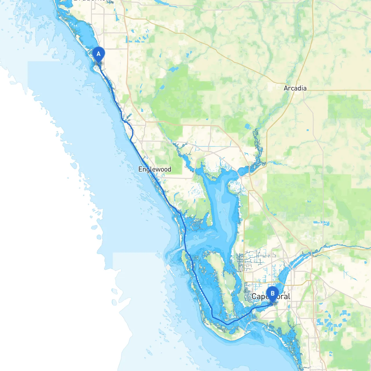
Route Overview:This journey from Siesta Key to Fort Myers offers an exciting blend of scenic views, tranquil waters, and engaging points of interest, making it perfect for skilled boaters looking for a mix of adventure and relaxation. The route, approximately 32 nautical miles, is ideal for cruising with friends or family. However, it prioritizes safety, guiding you through navigational challenges while allowing for idyllic stops along the way.
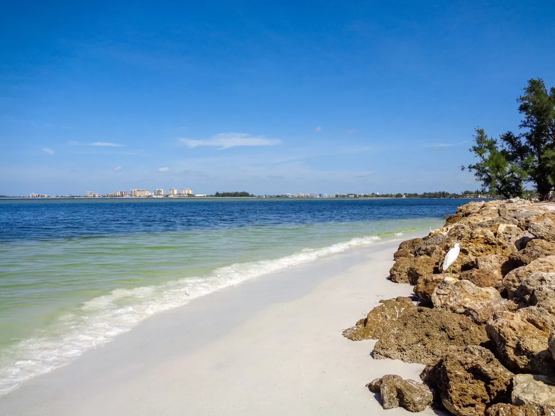
Section 1: Departure from Siesta Key
As you prepare to depart from Siesta Key, check your vessel’s equipment for safety, including life jackets, navigation lights, and a working VHF radio. Before you set sail, it’s wise to consult the latest NOAA charts for updated information on water depths and any potential hazards.
Navigational Aids:
Sheltering Bays:Sarasota Bay is a valuable shelter spot if weather conditions worsen. It has several anchorages to choose from, with the area south of Siesta Key being particularly safe during bad weather.
Section 2: Sailing Through Sarasota Bay
Once you’ve left the shores of Siesta Key, you’ll sail through Sarasota Bay. This area is well-marked, but always monitor your depth sounder as sandbars can shift. Keep a lookout for local wildlife, including dolphins playing in the bay.
Points of Interest:
Section 3: Navigating the Intracoastal Waterway (ICW)
After crossing Sarasota Bay, you’ll transition into the Intracoastal Waterway heading south toward Fort Myers. The ICW is a well-traveled route and is marked with numerous buoys.
Navigational Aids:
Section 4: Estero Bay
As you approach Fort Myers, you’ll have an option to venture into Estero Bay. This bay provides ample opportunities for sheltered anchorage and offers protection should the weather turn inclement.
Attractions:
Section 5: Arrival in Fort Myers
As you near your destination, be aware of the port regulations at Fort Myers and any local age limits or boating safety courses. Fort Myers is bustling with activity, so ensure you are prepared for busy traffic.
Navigational Aids:
Conclusion:This trip from Siesta Key to Fort Myers is not just a cruise; it's an experience combining the joys of nature with the thrill of adventure. Remember to keep updated with weather forecasts and adhere to all local boating regulations to ensure a safe and enjoyable journey.
Useful Apps:
By following this pilotage plan, you'll be well-equipped for a safe and fun-filled maritime adventure along Florida’s scenic coast. Happy boating!