Pilotage Plan: Siesta Key, Florida to Venice, Florida
Overview
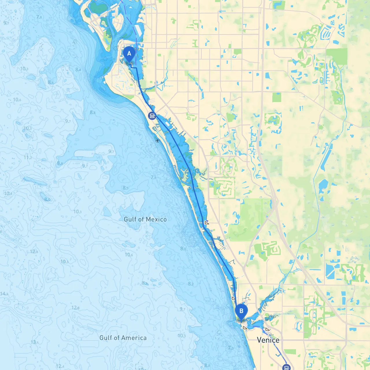
This journey from Siesta Key to Venice is not just a straightforward cruise; it's an experience that brings you through charming waters filled with both natural beauty and engaging seaside life. Designed for leisure craft and moderately powered boats, this route is ideal for boaters looking for a smooth sail while remaining aware of safety and navigational considerations.
Departure from Siesta Key
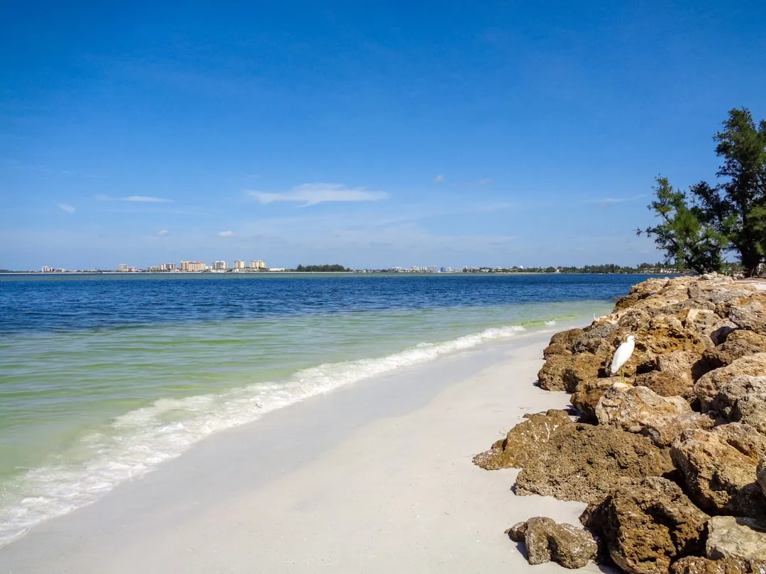
Beginning your adventure from Siesta Key (Latitude: 27.28767, Longitude: -82.55092), you'll want to prepare for a conscious and safe departure. Ensure you have checked local weather updates, as the waters can change quickly. Before you set sail, make sure to note the local marine traffic and any upcoming events in the area. The iconic Siesta Key Beach is a lovely backdrop with its powdery white sandy shores, a great send-off spot to reflect on what’s ahead.
Points of Interest & Shelter Bays
As you venture southward, consider several stops:
1. Big Sarasota Pass: Just to your south, this area is marked by an intricate system of channel markers leading out into the Gulf of Mexico. While it can be busy with boat traffic, the conditions here usually ensure smooth sailing. It's best to keep your speed moderate as you approach this pass.
2. Robinson Preserve: A little detour northwards could take you to Robinson Preserve, a beautiful spot with extensive hiking and kayaking opportunities. If the weather turns sour, nearby bays like Palma Sola Bay provide excellent shelter.
3. Turtle Beach: As you continue your voyage, Turtle Beach on Siesta Key is a lovely place to stop, enjoy a picnic, and explore the local ecology. If the forecast looks unsteady, this beach allows an easy retreat to shore.
4. Nokomis Groves: Slightly inland, a stop at Nokomis Groves could provide a delightful break. Try their famous fresh-squeezed orange juice, and while you’re at it, check your situation for the upcoming waters.
Navigational Aids & Route
After evaluating your detour options, you’ll want to navigate towards the Venice inlet. As you make your way, following the ICW (Intracoastal Waterway), you will find handy aids such as buoys and channel markers. The route generally leads you through:
Local Risks & Regulations
Be mindful of local marine wildlife; it’s common to have dolphin sightings, but approach them respectfully and maintain a safe distance. Both the ICW and coastal waters have specific speed limits depending on their proximity to marinas or residential areas. Observing no-wake zones near shallow waters is not only required but essential to maintaining a picturesque nature environment.
Arrival in Venice
As you approach Venice (Latitude: 27.11195, Longitude: -82.465), the entrances can be a bit tricky due to shifting sands, so practice patience and care as you enter. The picturesque downtown offers exciting activities, dining options, and a serene waterfront for your arrival.
Conclusion
This trip from Siesta Key to Venice is directly accessible for boaters who enjoy a leisurely cruise while having an array of options for stopping to stretch the legs or take cover if mother nature gets windier. Don’t forget to keep an updated weather app handy—Savvy Navvy is highly recommended for route plotting and real-time weather updates.
Enjoy the thrill of cruising and the ever-changing canvas of Florida’s coastline! Remember to stay safe, keep your crew informed, and let the waters guide you to fresh adventures!