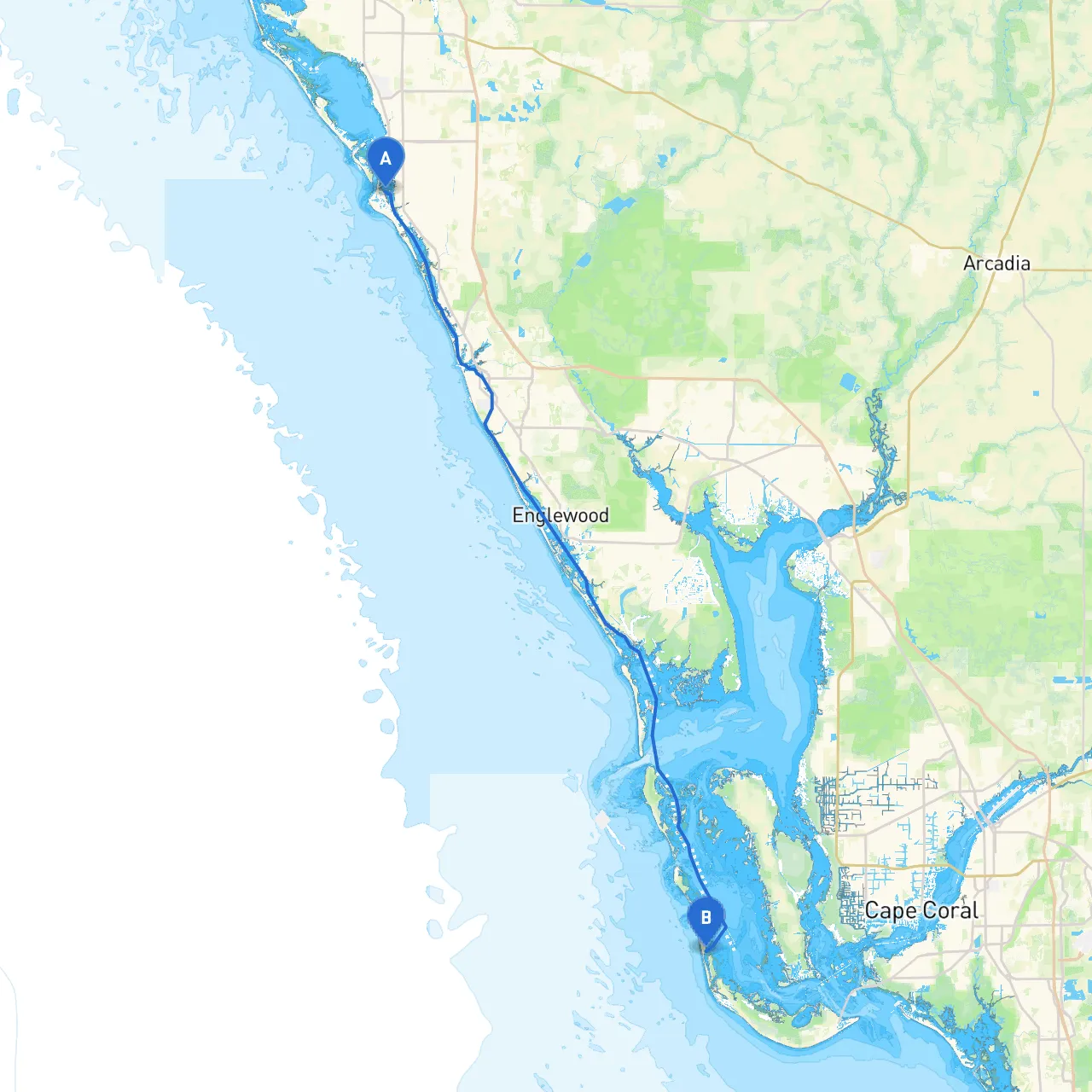
Pilotage Plan for Boat Trip from Siesta Key, Florida to Captiva Island, Florida
OverviewThis trip takes you from Siesta Key, known for its beautiful shores and vibrant atmosphere, to the serene and picturesque Captiva Island. This route is well-suited for experienced boaters who prioritize safety while also enjoying the abundant natural beauty and charming enclaves along Florida's Gulf Coast.
Route Description
Departure from Siesta Key
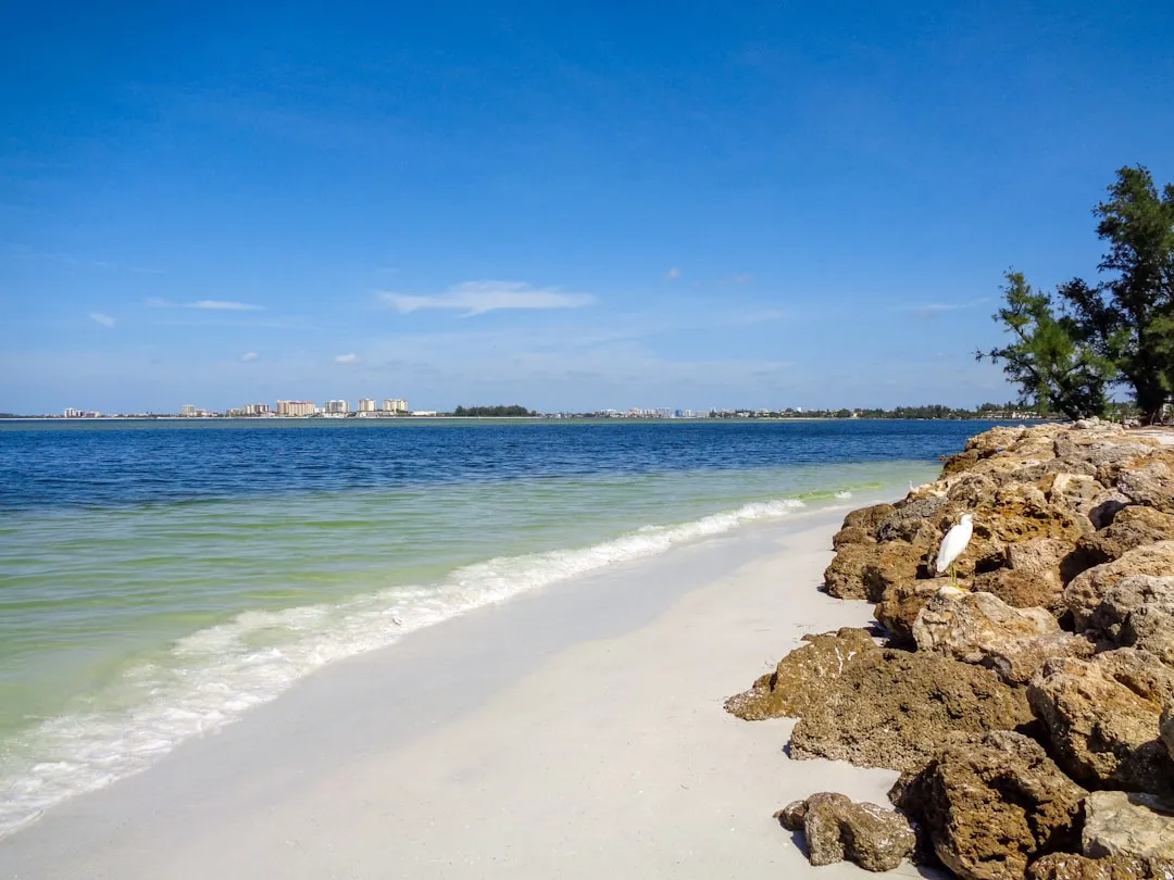
Siesta Key, Florida (Coordinates: -82.550917, 27.287667)
Your journey starts in the protected waters of Sarasota Bay. Make sure to thoroughly check your vessel before departure, including fuel levels, safety gear, and navigation equipment.
Navigational Considerations
As you navigate out of the Sarasota Bay, pay close attention to the channel markers. The first notable navigational aid is the
Sarasota Bay Entrance Channel Light
, which will guide you safely out into the Gulf of Mexico.
First Leg: Sarasota Bay to Big Sarasota Pass
From Siesta Key, move toward the entrance of
. This pass can be busy, especially during peak boating hours, so keep a keen eye on possible traffic and watch for large vessels that may create wakes. The pass is typically well-marked, but caution is advisable.
Points of Interest:
- Lido Key and the surrounding beaches offer a great spot for a brief stop if you wish to stretch your legs or catch a view of the coastline.
- Mote Marine Laboratory, located near the northern edge of the bay, is perfect for a quick visit to learn about marine conservation.
Second Leg: Entering the Gulf of Mexico
Once you are through Big Sarasota Pass, follow the coastline southward. This segment of your trip allows you to enjoy the vastness of the Gulf's azure waters.
Shelter Point before Heading South
Keep in mind that if bad weather develops, you can head back to
, which lies north of the mainland. This area is ideal for shelter due to its protected bay.
Main Leg: Navigating Gulf Coast
As you proceed, maintain a steady course along the shoreline toward Captiva Island. Stay clear of the shallow waters and mudflats; adjust your route using local charts to avoid hazards.
Navigation Aids:1. Gasparilla Island Light – South of your path; useful reference for offshore navigation.2. Keep your VHF radio tuned to channel 16 for any necessary Coast Guard communications.
Approaching Captiva Island
As you near Captiva, use caution while entering
, the entry point to the island's protected waters. The pass can be narrow and has varying depths, so slow down and keep alert for current and tidal changes.
Arrival at Captiva Island
Captiva Island, Florida (Coordinates: -82.18805, 26.520833)
Once you reach Captiva Island, you’ll be greeted by the charm of this unique destination. You can enjoy leisurely activities such as shelling on the beaches, dining at local restaurants, or soaking in the serene beauty of the surroundings.
Recommended Stopping Points
- Tween Waters Island Resort & Spa – A popular spot for refueling and onshore dining, perfect for boaters seeking a break from the journey.
- Captiva Island Historical Society – A quaint place to learn about the island's history.
Safety Considerations
Before setting out, ensure that you have the latest weather updates, as Florida weather can change rapidly. It’s advisable to have the following equipment on board:- Life jackets
- Flares and signaling devices
- First aid kit
- VHF radio for communication
- Charts and a GPS or app like savvy navvy to assist in navigation.
Additionally, always keep an eye out for local wildlife and watch for signage indicating restricted areas or no-wake zones.
This trip offers a delightful blend of excitement and safety, making it perfect for skilled boaters who want to explore the stunning waters of Florida while prioritizing safety. Enjoy your voyage, and may the winds be at your back!