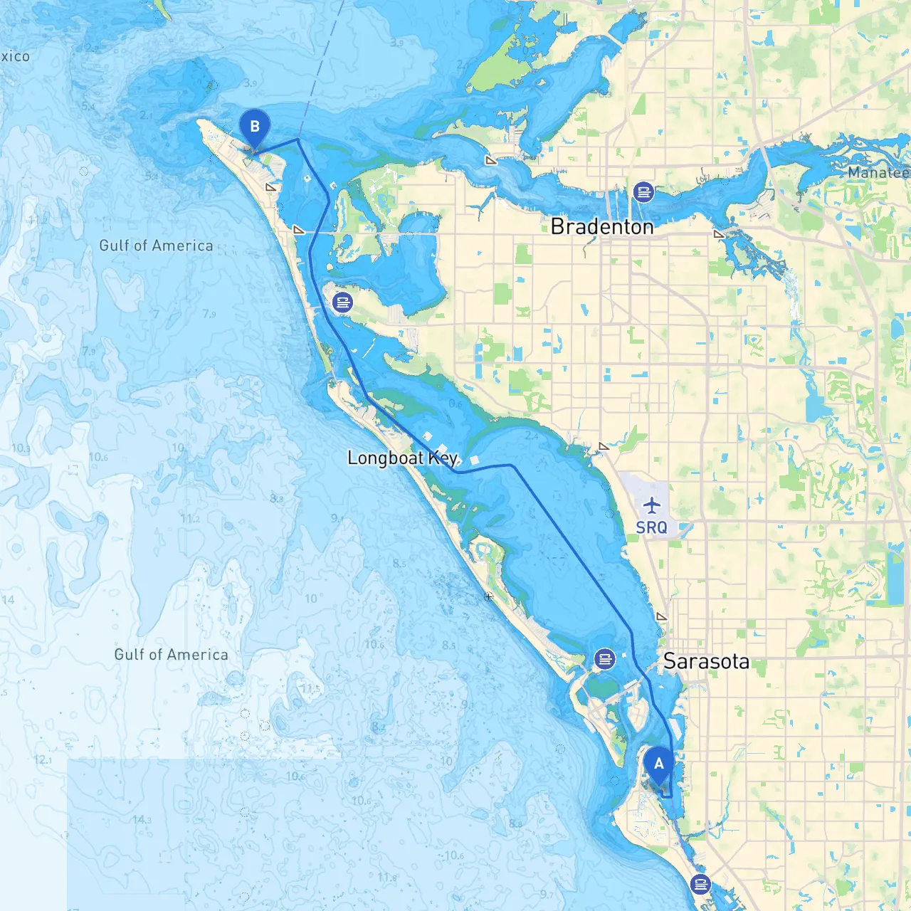
Overview:Embarking on a boat trip from Siesta Key to Anna Maria Island is like discovering the hidden gems of Florida's Gulf Coast. This route offers an exhilarating blend of scenic views, wildlife sightings, and safe harbors. Whether you’re an experienced sailor or a casual boater, this journey promises to be both pleasurable and memorable while keeping safety as a priority.
Starting Point:
Set your compass and prepare for an adventure! Before you head out, check for weather updates, as conditions can change rapidly. The Gulf of Mexico is a stunning backdrop for your journey, but being prepared is key.
1. Sarasota Bay: Just after you set off, you will enter Sarasota Bay. Keep an eye out for the local wildlife, including dolphins and manatees. The bay offers several spots to anchor if conditions worsen.
2. Ringling Bridge: As you navigate towards the bridge, keep a lookout for the famous Ringling Museum in the distance. Although you can't stop here without docking, it is a notable landmark worth admiring from your boat.
3. Mote Marine Laboratory: A great place to learn about marine life! While stopping here involves anchoring, it's a great area to explore the research facility and enjoy some educational exhibits if time allows.
Route Overview:From Siesta Key, you’ll essentially head northwest towards Anna Maria Island through the Intracoastal Waterway (ICW).
1. Coon Key: This small island offers a sheltered area where you can sit tight in case of sudden weather changes. The mangroves here are beautiful and provide additional wildlife viewing.
2. Longboat Pass: As you round the area towards Anna Maria, Longboat Pass provides another safe haven. It’s wide and offers good anchorage but be mindful of the current – it can get tricky when the tides shift.
Destination:
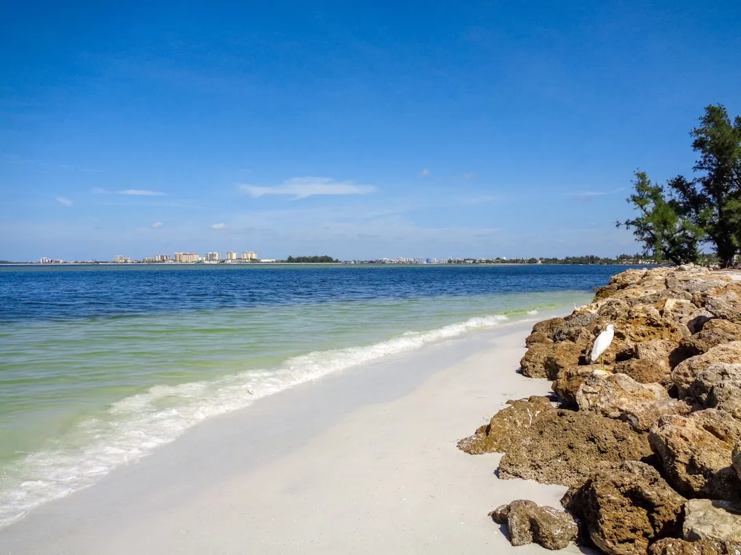
Upon reaching Anna Maria, you can explore locally famed sites such as the Anna Maria Pier. The island has beautiful shorelines and offers numerous eateries where you can relax and unpack after your journey.
This trip from Siesta Key to Anna Maria offers a perfect blend of safety, scenic views, and delightful stops along the way. Whether you’re seeking the thrill of boat handling or a peaceful day on the water, this route caters to all types of boaters while emphasizing safe practices for an enjoyable outing!