Pilotage Plan: Siesta Key, FL to Holmes Beach, FL
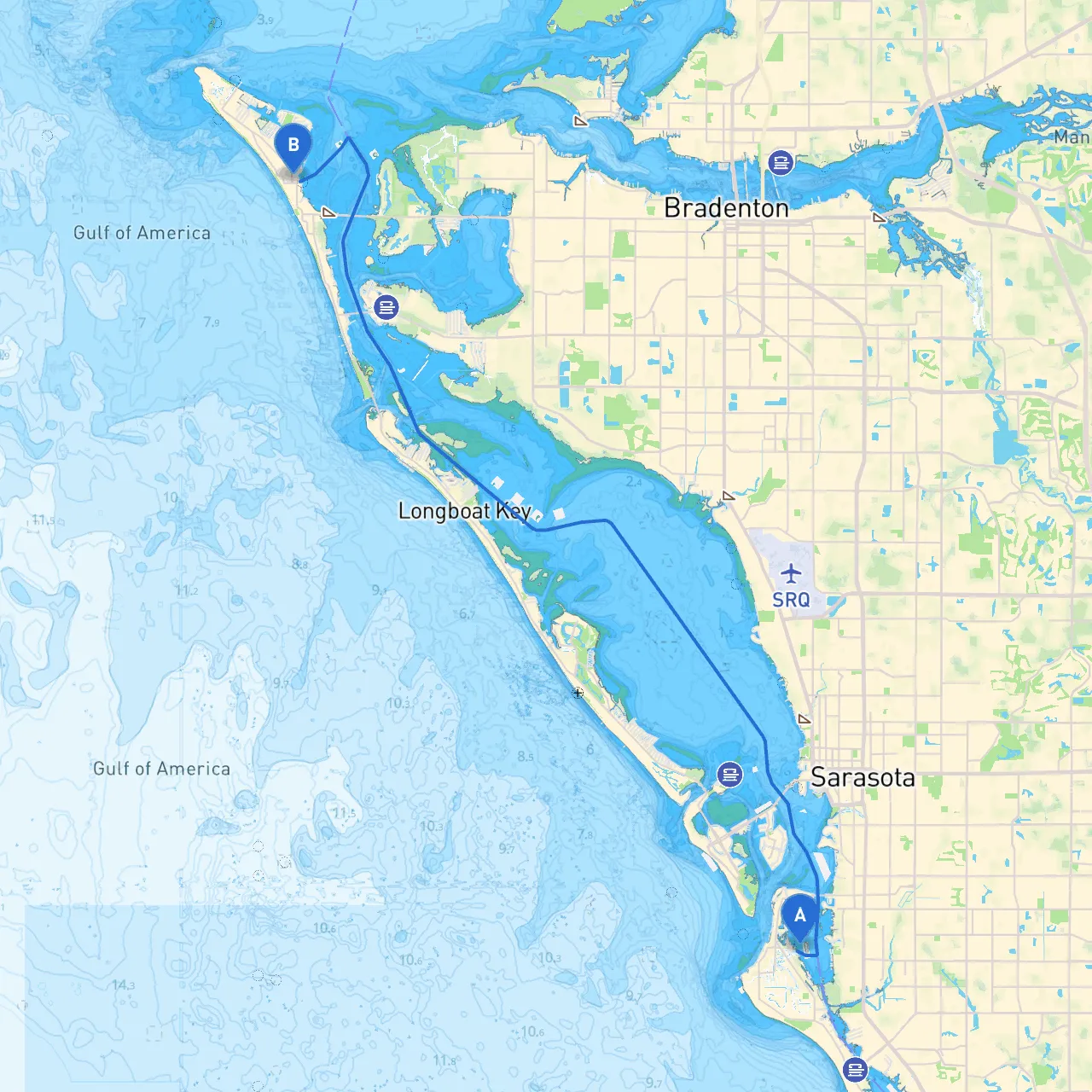
Overview and Route SuitabilityThis trip from Siesta Key to Holmes Beach offers an engaging experience for recreational boaters seeking to enjoy Florida's picturesque Gulf Coast. The approximate distance is around 15 nautical miles taking you through scenic waters filled with potential points of interest, all while being mindful of the marine environment and safety considerations. This route is particularly suitable for local boaters with moderate to advanced navigation skills due to its mixture of open waters and narrow channels.
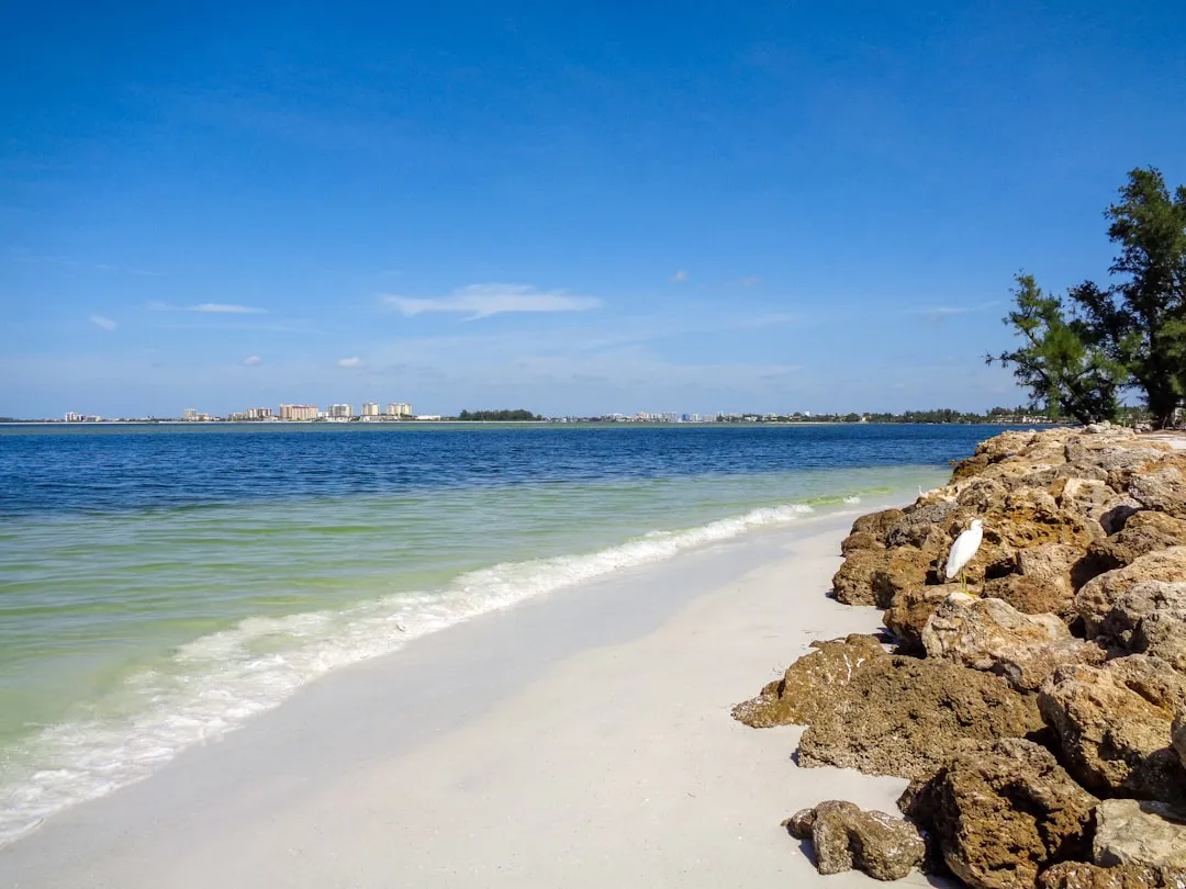
Section 1: Departure from Siesta KeyStarting at Siesta Key, positioned at latitude 27.28767, longitude -82.55092, you will depart from the waters near the Siesta Key Public Beach, renowned for its white sandy shores and vibrant atmosphere. Before leaving, make sure to conduct a thorough safety check on your vessel, including essential life-saving equipment and a reliable VHF radio.
Section 2: Navigating Sarasota BayAs you depart, head northwest into Sarasota Bay. The bay provides numerous natural channels and inlets, making it a fantastic area to observe local wildlife. Keep an eye out for the structures of the Ringling Causeway and the scenic St. Armand’s Circle nearby. Despite the beauty, be cautious of shallow areas and varying tides which can affect your draft; utilizing the latest nautical charts on apps like savvy navvy can greatly assist in this regard.
Section 3: Point of Interest - Lido Key and New PassConsider stopping at Lido Key, particularly at the new pass if time allows, where you can enjoy some nature trails and perhaps a swim or beach outing. The coordinates for New Pass are approximately 27.3096, -82.5771. Ensure to stay aware of local regulations; the area often has designated zones to preserve the natural environment.
Section 4: Crooked Lake and Big PassProceed north through the winding waters towards Big Pass. Pay close attention to navigational markers as this pass can get busy with larger vessels. Make sure to adhere to the marked channels to avoid grounding. Be particularly vigilant when dealing with tidal influences in this area.
Section 5: Shelter Options Along the WayIf the weather becomes unfavorable, Manasota Key offers potential shelter in various anchored bays. The waters here are generally safe but do not underestimate sudden changes, as storms can develop quickly. Always monitor your weather radar or have access to detailed weather apps.
Section 6: Arrival at Holmes BeachAs you approach Holmes Beach, the region showcases delightful scenery with opportunities for dining and beach relaxation. The coordinates guide your arrival precisely to latitude 27.50730, longitude -82.71385, where you can dock and enjoy local eateries or explore Anna Maria Island. The area is known for its friendly atmosphere and stunning sunsets, making the conclusion of your trip quite delightful.
Navigational Aids and Considerations
By prioritizing safety while immersing yourself in the beauty of Florida’s coastline, this boater’s journey from Siesta Key to Holmes Beach ensures a memorable and enjoyable outing. Enjoy your adventure, stay vigilant, and embrace the breathtaking sights and experiences along the Gulf!