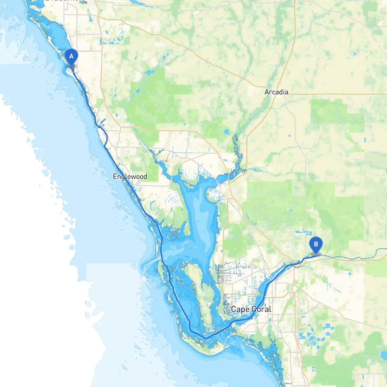
Pilotage Plan: Siesta Key, Florida to Ft. Myers, Florida
Overview:Embarking on a journey from Siesta Key to Ft. Myers takes you through some of Florida's pristine waterways, perfect for an adventurous yet safe cruise. This route is suitable for seasoned boaters as well as novices looking to enjoy the scenic beauty of the Gulf Coast, with ample opportunities for exploration and shelter if the weather begins to turn.
Route Description:The plan covers a distance of approximately 50 nautical miles, navigating through protected waters, coastal bays, and along the stunning coastline.
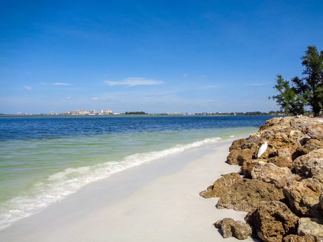
Section 1: Departure from Siesta KeyBegin your journey at Siesta Key, known for its stunning sand beaches. As you depart, be mindful of the local regulations regarding wake zones, especially near residential areas.
Navigational Aids:
Section 2: Sarasota BayOnce you exit the Siesta Key area, you will enter Sarasota Bay. This bay is generally well-marked but watch for shallow spots while navigating closer to the shorelines where there may be local fishing and recreational activities.
Shelter:Should conditions become rough, consider taking refuge at Big Sarasota Pass, where you can find a variety of anchoring spots protected from strong winds.
Points of Interest:
Section 3: Roberto Clemente Park and the Intracoastal WaterwayContinue southward along the Intracoastal Waterway past Roberts Bay. Pay attention to the markers leading into the park where you can safely dock and enjoy some downtime. Remember that this area is popular with fishermen, so ensure slow speeds to avoid any wake issues.
Navigational Aids:Look for day markers and channel reviews in local publications, which provide vital information on fishing activity and water depth.
Section 4: Navigating Charlotte HarborAs you head towards Punta Gorda, you’ll transition into Charlotte Harbor. This body of water is expansive and can be impacted by sudden weather changes, making it essential to keep an eye on meteorological updates and radar.
Shelter:
Section 5: Approach to Ft. MyersFollowing your passage through Charlotte Harbor, begin your approach towards the Caloosahatchee River, which will lead into Ft. Myers. This area is a bustling waterway where local boating regulations become crucial, especially concerning no-wake zones and commercial traffic.
Navigational Aids:Be mindful of the many docks and vessels and keep your charts updated. The Sanibel Causeway is a notable landmark as you near the city, marking a straight route into the river.
Final Destination: Ft. MyersUpon reaching Ft. Myers, where the river meets the Gulf of Mexico, the city offers a lively waterfront atmosphere. Consider taking some time to explore Fort Myers Beach or visit the historic Edison and Ford Winter Estates, providing an enriching glimpse into the area’s past.
Safety Considerations:
This excursion promises to be both enjoyable and safe, showcasing the best that SW Florida has to offer while ensuring that safety is your primary concern on the water. Ensure your vessel is in good condition and always keep your eye on the horizon for changing weather. Happy cruising!