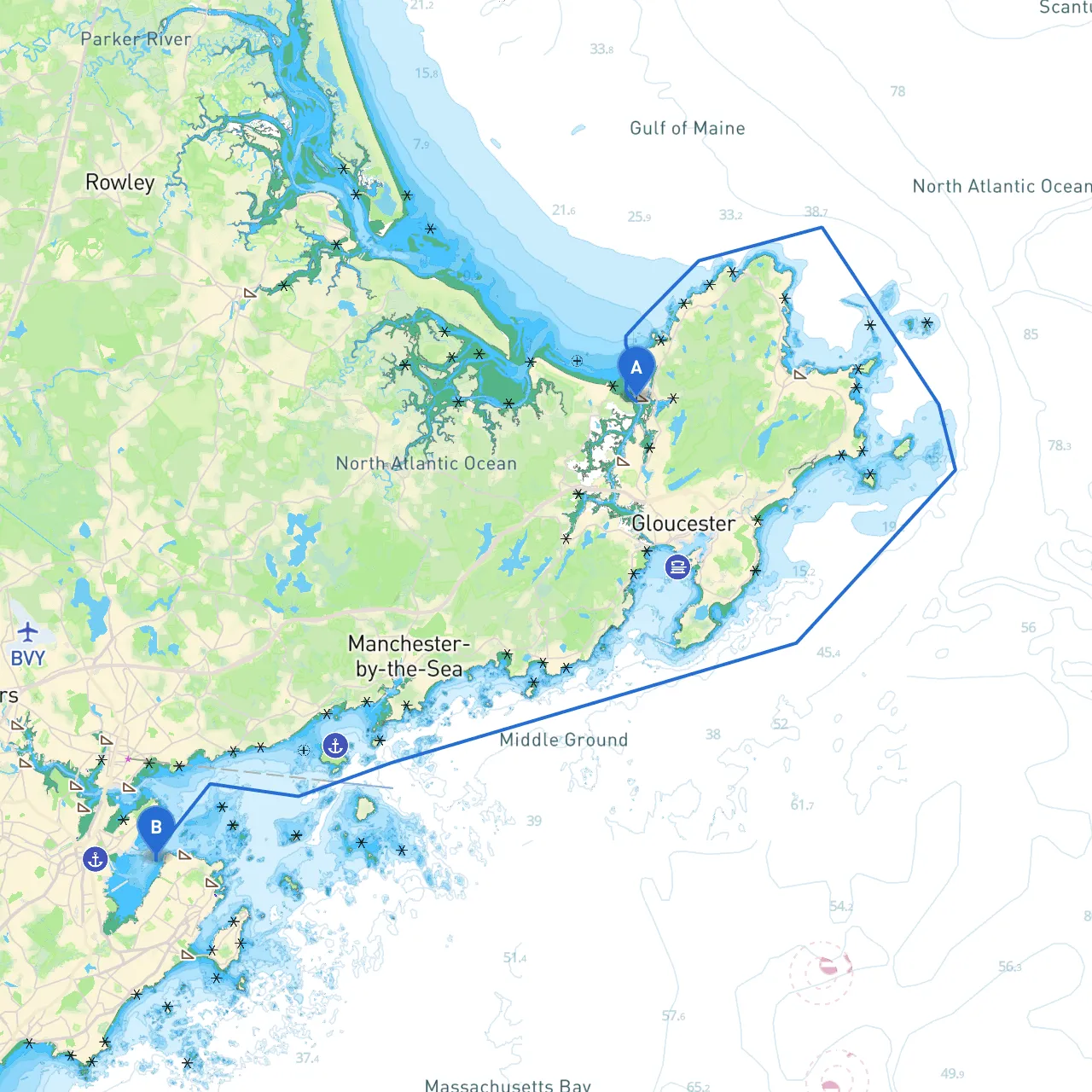
Starting Point: Gloucester, Massachusetts, USA Ending Point: Marblehead, Massachusetts, USA
This coastal journey stretches about 20 nautical miles along the scenic Massachusetts shoreline, nestled among its rocky outcrops and quaint towns. This route is particularly appealing for experienced boaters and those seeking a mix of breathtaking scenery and historical charm, while remaining cautious of the local hazards and navigation considerations.
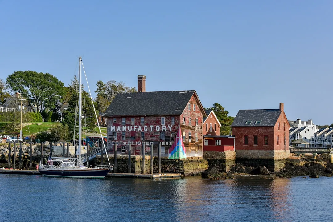
1. Departing Gloucester: - As you leave the picturesque and historic harbor of Gloucester, take a moment to enjoy the views of Cape Ann's rocky coast. The winds can pick up here, particularly if coming from the northeast, so be prepared for potentially choppy waters.
2. Navigating Cape Ann: - After heading southward, watch for the navigational aids along the coast, including the Gen. Carter’s Head Light on Cape Ann to your west. This significant landmark guides mariners away from the rocky shorelines.
3. Salem Bay: - Continue onwards towards Salem Bay, where there are ample points of interest. The bay is an excellent spot to consider a sheltered stop, should the weather turn sour. Explore the charming town of Salem, known for its rich history and maritime legacy, as well as several great dining options right near the water.
4. Entering Marblehead Harbor: - As you transition into Marblehead, be mindful of the Marblehead Light beacon, illuminating your approach to this lovely harbor known for its narrow, winding channels and local mooring regulations. Watch out for mooring fields and be aware of local boat traffic—particularly sailboats taking advantage of the area’s famed winds.
This route from Gloucester to Marblehead allows you to savor the coastal beauty of Massachusetts while remaining vigilant against the elements. Experienced sailors will appreciate the blend of history, scenery, and the vibrant local boating culture. Given the varied opportunities for activity and exploration balanced with prudent safety considerations, this journey beckons those looking for an exhilarating yet safe sailing adventure. Don’t forget to use savvy navvy and other nautical apps to enhance your navigational precision and keep you informed along the way! Enjoy your trip and sail safe!