Pilotage Plan for the Journey from Gloucester, MA to Kennebunkport, ME
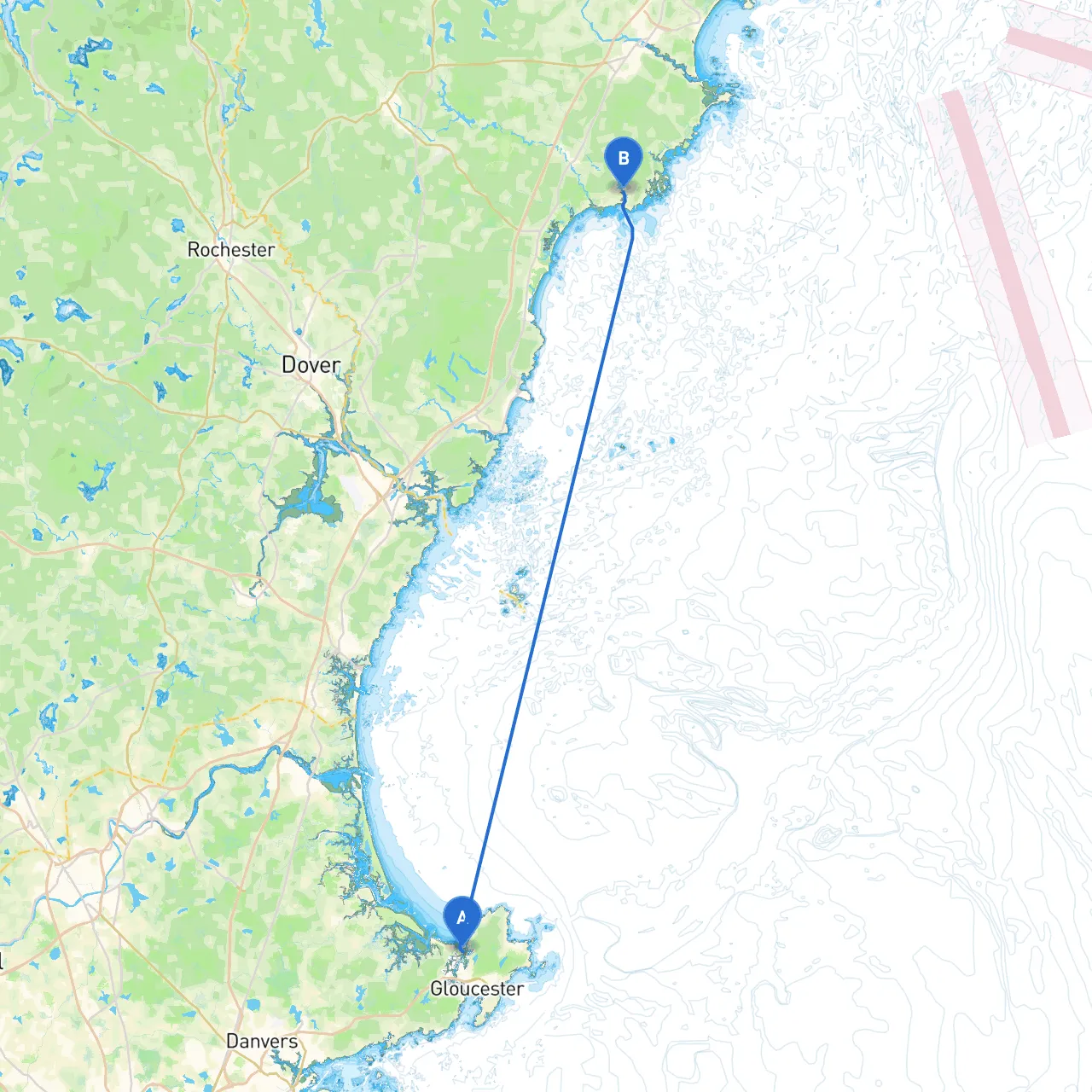
Route Overview The route from Gloucester, Massachusetts, to Kennebunkport, Maine, covers an approximate distance of 40 nautical miles along the picturesque coastline of New England. This journey is ideal for experienced boaters looking to appreciate vibrant marine life, scenic landscapes, and charming coastal towns. The route offers ample opportunities for both sheltered bays and landmarks that make for ideal stopping points, enhancing the overall cruising experience while remaining focused on safety.
Points of Interest and Sheltering Bays
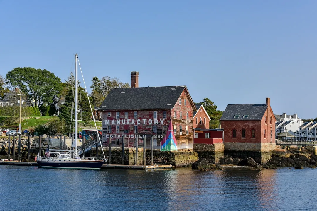
1. Gloucester Harbor: Your journey begins in the rich waters of Gloucester Harbor. Here, you’ll find a bustling fishing port with a vibrant history, rich culture, and spectacular views. Before departing, take a moment to explore the history behind the fisherman statue at the entrance and the iconic Cape Ann lighthouse.
2. Halibut Point State Park: Just a short distance north of Gloucester, consider a brief detour to Halibut Point. Aside from excellent vistas of the coast, a jaunt through this park offers tranquil nature trails and an opportunity to enjoy the rugged shoreline.
3. Rockport & Sandy Bay: Continuing north, you’ll come across Rockport, home to the scenic Motif No. 1. The picturesque fishing village is a fine place to stop for a bite to eat or explore local art galleries. The waters around here are generally safe and can provide a good anchorage in fair weather.
4. Ipswich Bay: This expansive body of water can serve as an excellent exploration area as you head towards the mouth of the Merrimack River. The area can be a sanctuary for various wildlife. Watch out for the numerous buoys marking navigational channels and hidden obstacles such as rocks and sands.
5. Sailor’s Haven and Little Misery Island: Next to the route is a small island in the Ipswich Bay, which makes for a lovely sheltered break if weather conditions suddenly change. Though island access is limited, it offers a serene environment for wildlife observation and a chance to enjoy the coastal sounds.
6. Rye Harbor State Park: As you approach the New Hampshire border, Rye Harbor is an ideal waypoint, providing well-maintained facilities and a beautiful beach for a bit of relaxation before continuing your journey.
7. Portsmouth Harbor: Further along, the historic town of Portsmouth is certainly worth a visit. It combines rich maritime heritage with great restaurants and shops. Feel free to anchor safely in the harbor as you explore this vibrant community.
8. Little Harbor: Just beyond Portsmouth, this hidden gem offers another wonderful shelter in case conditions deteriorate. The approach can be a bit tricky, so careful navigation is advised, especially near the leading light.
9. York Harbor: Stop here for a picturesque view of the Maine coastline and relax in the serene harbor area. The landscape offers a mix of beautiful rocky coastlines and sandy beaches—a perfect spot to drop anchor and unwind.
Navigational Considerations
This itinerary perfectly balances safety and adventure, allowing boaters to explore some of New England’s most delightful coastal areas while ensuring that all necessary precautions are in place for a successful trip. It’s suitable for experienced boaters who appreciate natural beauty and historical maritime richness as they navigate carefully through both sheltered waters and more challenging coastal passages. Happy cruising!