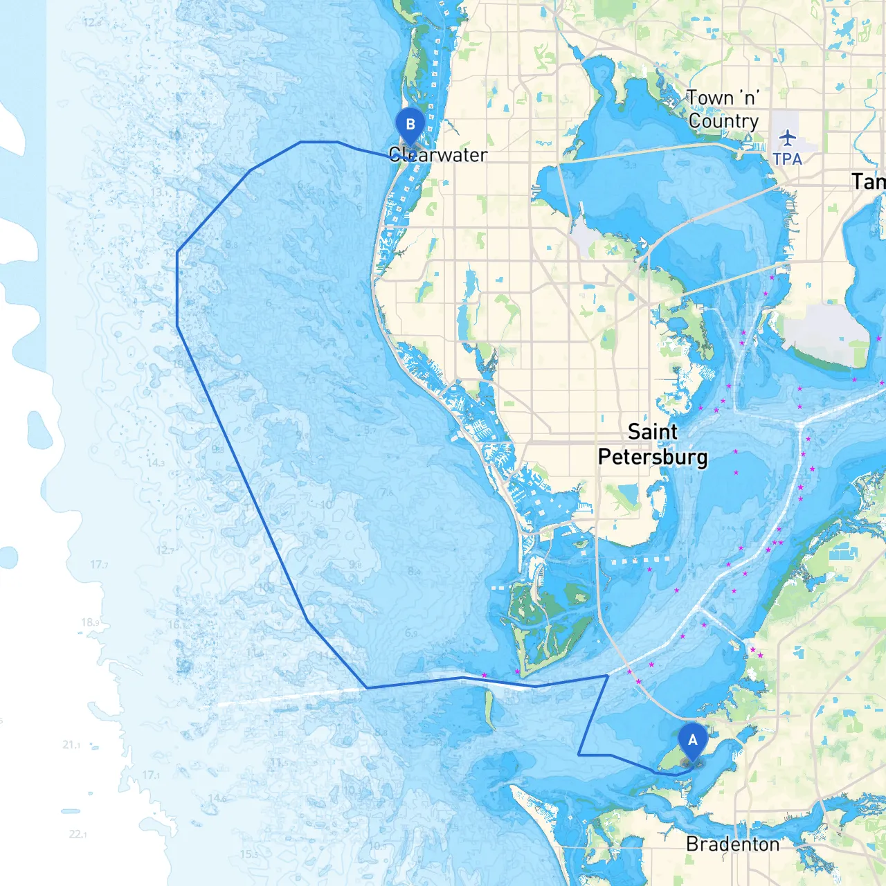
Pilotage Plan: Bradenton, Florida to Clearwater Beach, Florida
This delightful passage stretches approximately 35 nautical miles along Florida's stunning Gulf Coast. The journey from Bradenton to Clearwater Beach promises a mix of beautiful scenery, potential for wildlife encounters, and opportunities for fun activities along the way. It is well-suited for boaters ranging from novice to seasoned sailors, with ample navigational aids to ensure a safe passage.
Starting Point: Depart from the Bradenton River, dropping the lines near the Bradenton Marina. Before setting off, ensure you have performed a thorough pre-departure safety check of your vessel.
Hazards to Watch: The Manatee River can present some challenges. Watch for fishermen and recreational users, especially near the bridge as tides can shift currents unexpectedly.
Once you exit Palma Sola Bay and enter the Gulf of Mexico, pay close attention to the following navigational aids:
If you need to seek shelter from adverse weather, consider the following locations:
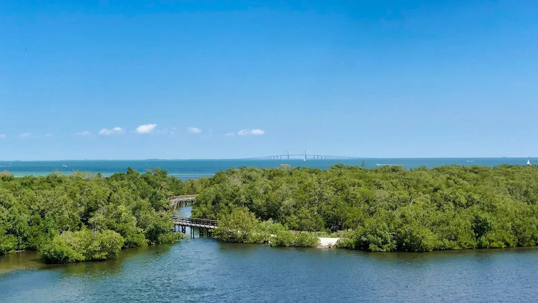
As you approach Clearwater Beach, prepare for a bustling marina scene. The entrance to Clearwater is marked by a distinct channel, so be sure to maintain vigilance as the area can experience significant traffic from larger vessels and personal watercraft.
Make sure to familiarize yourself with local regulations before setting out, such as:
As always, before setting off, check the weather reports and ensure you have a plan in place in case conditions change unexpectedly. Equip your vessel with essential safety gear, such as life jackets, a first-aid kit, and additional amenities for the comfort of all onboard.
For a smoother sailing experience, consider using navigational apps like Savvy Navvy alongside others such as Navionics for detailed marine charts. These tools will enhance your confidence and provide live updates on weather, tides, and navigational hazards.
This journey captures the essence of Florida's coastline—a memorable excursion filled with the opportunity for exploration and relaxation. Safe boating!