
Pilotage Plan: Berkeley, CA to South San Francisco, CA
Departure from Berkeley:Starting your voyage at the alluring waters of Berkeley, you’ll find yourself in a vibrant marine environment. The Berkeley Marina offers excellent facilities and a quick refueling option should you need it. Before setting sail, ensure your boat is well-equipped with safety gear, including life jackets, flares, and an adequately stocked first aid kit. Weather permitting, the canal leads you through the diverse ecosystems of the San Francisco Bay.
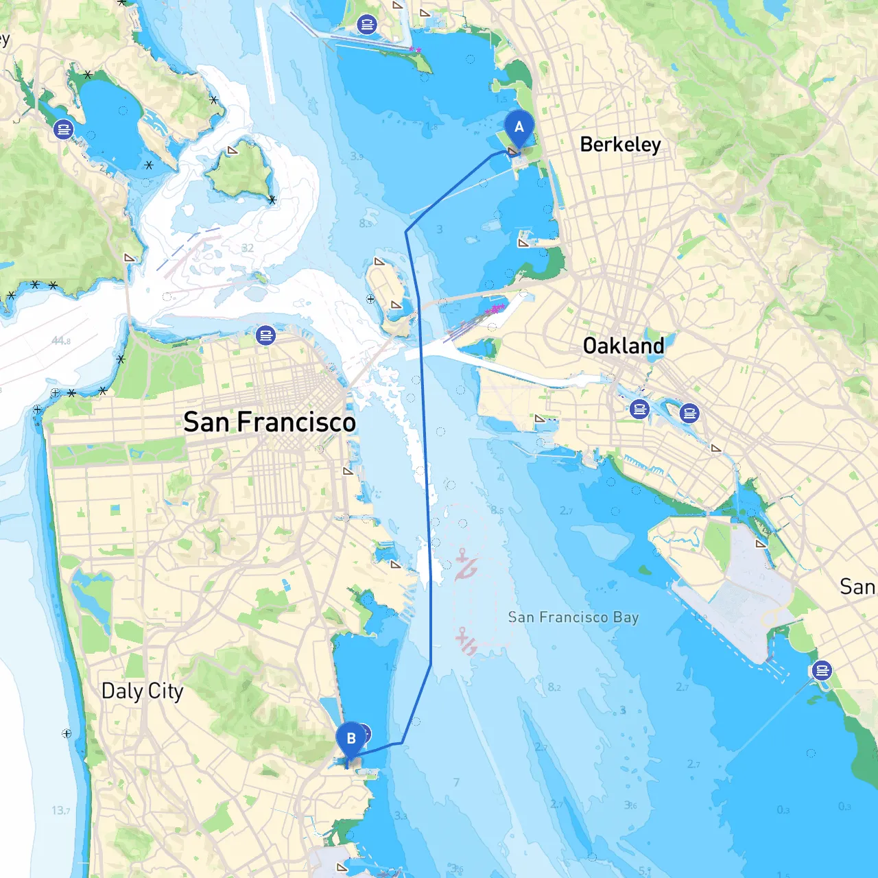
Route Overview:The ideal route stretches across approximately 15 nautical miles, taking you through serene waterways and bustling landscapes. This trip is best suited for experienced boaters who have a solid grasp of coastal navigation due to the complex waters you're about to traverse.
Navigational Considerations:As you begin your journey, you’ll want to keep an eye on a few notable navigational aids. Departing Berkeley, you'll navigate past the Berkeley Pier, which is a popular landmark and a useful reference point. Continue southward, following the tidal currents while being aware of the two-mile-wide main shipping channel of the San Francisco Bay.
The crucial navigational aids along your route include:
1. Alameda Point (Light 51) – This light is essential for identifying the entry into the main shipping lanes.2. Yerba Buena Island (Light 45) – A significant point to keep on your port side, while navigating towards the Golden Gate Bridge.3. Tenderloin Channel Buoys – Pay close attention to the buoys marking the entry into the South San Francisco Bay, as these guide you safely to your destination.
Considerations & Hazards:While this route is picturesque, it is not without its hazards. Be cautious of strong tidal currents and sudden weather changes, which can occur even in mild conditions. Fog is a common occurrence, particularly in the late afternoon, which may limit visibility, so ensuring your navigation lights are functional is imperative.
Avoid main shipping lanes unless absolutely necessary to circumvent commercial traffic, and monitor VHF Channel 16 for any traffic or hazards reported by other vessels. Fishermen’s nets are also a potential hazard; stay clear of marked areas and always be vigilant.
Shelter Points:In case of adverse weather conditions, consider these refuge points along your route:
1. Point Isabel – Located just south of the Richmond-San Rafael Bridge, this area is a popular spot for taking a break and can offer relative protection.2. Angel Island – This island serves as a beautiful stop with picnic areas and walking trails, providing shelter from strong winds.3. Marin Islands – Located to the northwest near the Marin headlands, these islands can offer a great resting point if conditions worsen.
Points of Interest:Your journey provides ample opportunities for stopping and enjoying the scenic beauty of the San Francisco Bay. Notable stops include:
Local Regulations:As you approach South San Francisco, remember to adhere to the local boating regulations which include no-wake zones in residential areas and restrictions on vessel speeds. It’s a good practice to check for any temporary regulations or advisories on the California Department of Boating and Waterways website or local broadcasting channels.
Final Thoughts:This picturesque route is ideal for boaters seeking a blend of scenic beauty and navigational challenge. Whether you are a seasoned mariner or have a few years of experience under your belt, this trip promises a rewarding adventure. Just remember to prepare adequately for changing conditions, maintain situational awareness, and keep safety as your top priority.
For added convenience, consider utilizing navigation apps like savvy navvy, which can provide real-time data on tides, currents, and weather conditions, enhancing your overall experience on the water. Happy sailing!