
Pilotage Plan from Berkeley, CA to Brentwood, CA
Overview This beautiful journey from Berkeley to Brentwood, spanning approximately 30 nautical miles, is ideal for coastal cruisers looking to experience the stunning landscapes of San Francisco Bay while remaining aware of navigational hazards and considerations. The route is suitable for intermediate to advanced boaters due to the varying conditions and the requirement for precise navigation, particularly in busy waters.
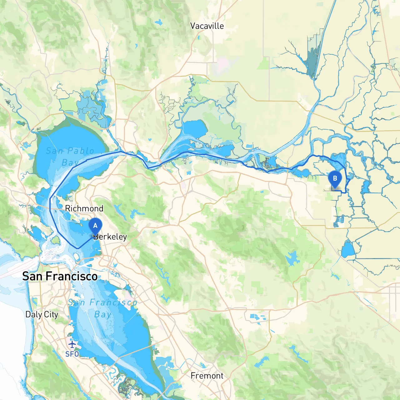
Starting Point: Berkeley, CA Your adventure begins in Berkeley, a vibrant waterfront city known for its rich cultural heritage. Before setting off, ensure your vessel is properly equipped with life jackets, flares, a first-aid kit, and a reliable VHF radio. Weather forecasts should also be checked – conditions can change rapidly on the Bay.
Notable Bays and Points of Interest Along the Way
Route Navigation
Arrival at Brentwood, CA As you approach Brentwood, be ready to navigate into the Sacramento-San Joaquin River Delta, a labyrinth of waterways. Brentwood itself is easily accessible but remains a quiet haven compared to the urban bustle of San Francisco.
Suggested Boating Apps While not essential, having good navigation and weather apps can enhance your trip significantly. Besides savvy navvy, consider downloading apps like Navionics for charts and updates on tide schedules, and Windy for reliable weather forecasts.
Safety Considerations Be vigilant about weather updates. High winds and sudden fog can occur, particularly in the afternoons. Always maintain communication with fellow boaters and harbor authorities. Remember, if conditions seem unfavorable, it's wise to head to one of the aforementioned sheltered bays or take a stop to wait it out.
This route offers a harmonious blend of nature, history, and the thrill of boating. By wearing your captain’s hat and prioritizing safety, you'll not only navigate successfully but also create memorable experiences along the way. Happy boating!