Pilotage Plan: Alameda, CA to Santa Cruz, CA
Overview
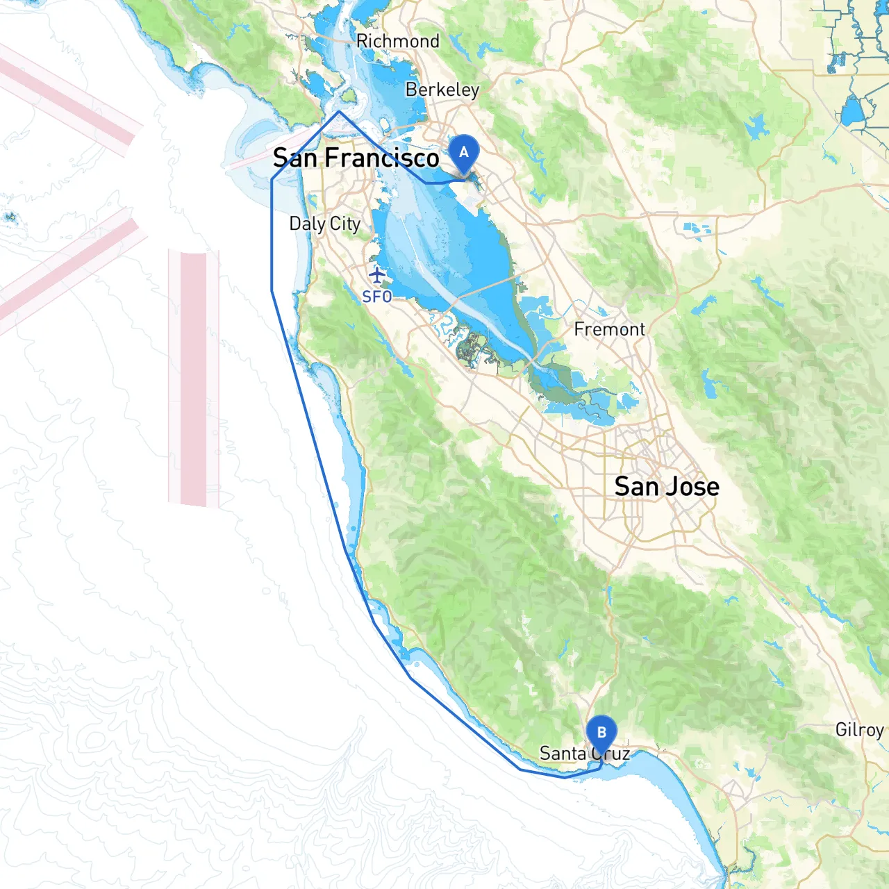
This route from Alameda to Santa Cruz is a scenic journey that offers a mix of vibrant coastal landscapes and charming small-town vibes, perfectly suited for intermediate to experienced boaters. Covering approximately 70 nautical miles, the trip takes you through the San Francisco Bay and past the beautiful Monterey Bay, with plenty of opportunities for stopping and enjoying local attractions.
Departure: Alameda, CA
Your adventure begins in Alameda, a small island city with a rich maritime culture. Before setting off, ensure your vessel is well-prepared. Check for life jackets, necessary safety equipment, and communication tools. Reviewing your vessel’s charts and ensuring your GPS is functional is crucial.
Points of Interest Before Departure
- Alameda Point: Formerly a naval base, this area offers sprawling views of San Francisco and the bay.
- Crown Memorial State Beach: A great spot for a pre-departure stroll or a picnic.
Leg 1: Crossing San Francisco Bay
From Alameda, navigate towards the San Francisco-Oakland Bay Bridge.
Key Navigation Aids:
- Buoys and Markers: Pay close attention to lighted buoys marking shipping channels, particularly when crossing the busy waters of San Francisco Bay.
- Traffic Separation Schemes: Be aware of various routes to avoid large commercial vessels that frequently travel the bay.
Shelter Options:
- Richmond Harbor: Just north of the bay, a good option if conditions worsen unexpectedly.
Attractions:
- San Francisco Skyline: A stunning backdrop to your journey.
- Golden Gate Bridge: Visible from parts of the bay, this iconic structure is a must-see.
Leg 2: Through the Golden Gate and Coastal Cruising
From the Bay, you'll follow the navigation markers towards the Golden Gate. Weather can change rapidly here; be prepared for fog and strong tidal currents.
Important Navigational Considerations:
- Tide Conditions: Check tide tables before leaving. Optimal conditions are crucial when transiting through the Strait of Golden Gate.
- Visibility: Fog can be an issue; ensure your radar and sound signals are operational.
Once through the Golden Gate, you enter the open waters of the Pacific Ocean. This stretch can be exhilarating but requires a confident hand at the helm.
Leg 3: Coastal Waters to Santa Cruz
After the strait, head south towards Point Reyes. The rugged coastline offers stunning views and has a lot of marine traffic, so stay vigilant.
Hazards:
- Drifting Debris: Keep an eye out for any floating debris, especially after storms.
- Shallow Areas: Stay within marked channels, as there are underwater hazards in various areas.
Shelter Options Along the Way:
- Half Moon Bay: Known for its scenic beauty, this bay provides good shelter and amenities.
- Montara State Beach: Another option if conditions turn unfavorable, offering a picturesque cove.
Attractions:
- Pigeon Point Lighthouse: Just off the coast, this historical landmark is a perfect place to stop for a photo.
- Big Basin Redwoods State Park: Accessible by land near Santa Cruz, this park is renowned for its ancient redwoods.
Arrival: Santa Cruz, CA
Upon nearing Santa Cruz, you'll be greeted by the iconic Boardwalk and pier. The harbor entrance is well-marked, so follow the buoys closely.
Key Navigation Aids:
- Santa Cruz Harbor Entrance: Vigilantly monitor for incoming vessels and check the weather. Channel markers will guide you safely into the harbor.
Local Regulations
- Speed Limits: Adhere to local speed regulations near harbor entries and populated areas in Santa Cruz.
- Environmental Protections: Remain mindful of marine sanctuaries in coastal waters—some areas restrict fishing and anchoring.
Conclusion
This cruise from Alameda to Santa Cruz is an incredible experience, especially for intermediate to experienced boaters. You’ll navigate through diverse waterways, witness breathtaking coastal scenery, and have opportunities to seek shelter or engage in local activities. Always prioritize safety by staying informed about the weather and navigational aids. To enhance your trip, consider using apps like Savvy Navvy for precise navigation, along with Windy for weather updates and Navionics for charts.
Bon voyage and enjoy your journey along California’s breathtaking coastline!