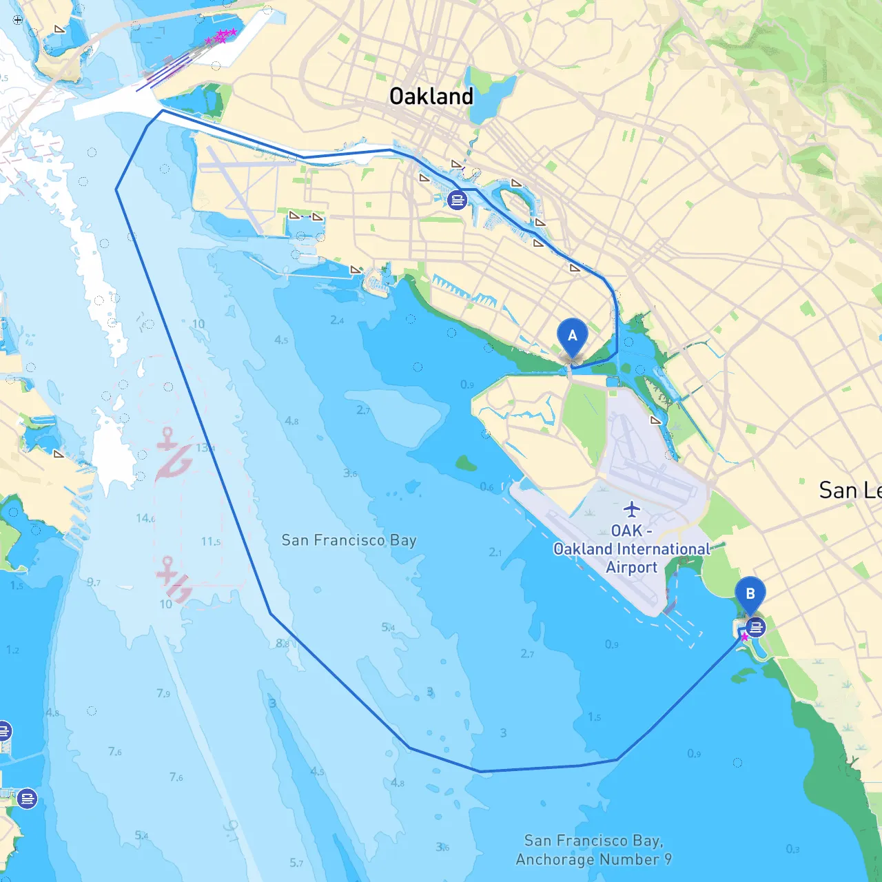
Pilotage Plan: Alameda, CA to San Leandro, CA
Route Overview:Setting off from Alameda, California, you'll journey across the calm waters of the San Francisco Bay, making your way to San Leandro. This route is well-suited for recreational boaters, especially for those seeking a leisurely day out on the water with the flexibility to alter plans if needed due to changing weather conditions. The route runs approximately 8 nautical miles and offers a mix of scenic views and sheltered spots.
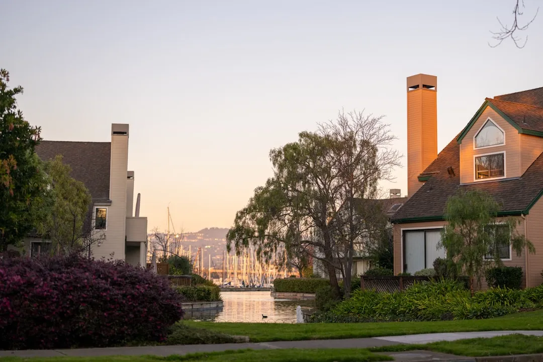
Starting Point: Alameda, CABegin at the coordinates 37.7507° N, 122.2354° W. Alameda is a vibrant community with a rich maritime history. Before leaving, take note of the Alameda Marina, which can be a good place to stock up on supplies or smoothie from a café.
Key Points of Interest Along the Route:
1. Jack London Square: Just across the estuary from Alameda, this bustling waterfront area in Oakland is full of restaurants, shops, and even a ferry terminal. A quick detour here can provide a delightful break for a meal or a stroll along the waterfront.
2. Crown Beach: As you proceed along the route, keep the stunning shores of Crown Beach to your starboard side. This beach is ideal for a quick picnic or a chance to stretch your legs if you want to pull into the shallow anchorage.
3. San Leandro Marina: Before you reach your destination, this marina offers excellent facilities. Stop here for fuel, fresh provisions, or just to take a moment to enjoy the serene environment.
Navigational Considerations and Hazards:The route across the bay is largely open water but does entail a few navigational challenges that you should keep in mind:
Navigational Aids:Pay close attention to the following aids that will help guide your journey:
Local Regulations and Restrictions:Always keep local waterway regulations in mind. The waters you’ll be traversing have specific rules governing speed limits and no-wake zones near marinas. If you're operating a multi-passenger vessel, ensure you adhere to capacity limits for safety.
Shelter Considerations:Should the weather suddenly turn inclement, your main options for seeking shelter would be:
In conclusion, this pilotage from Alameda to San Leandro combines both the thrill of boating with essential safety features tailored for both novice and experienced boaters. Don't forget your life jackets, and consider staying connected — using apps like Savvy Navvy can help ensure you stay on course with real-time weather updates and improved navigation ease. Enjoy your adventure on the water while maintaining vigilance and responsibility. Safe travels!