Home
 /
 / 

Alameda to Emeryville by boat

Alameda to Emeryville

Distance - 11.1 Nm

Avg Speed
5 kts
10 kts
20 kts
30 kts
Time Estimate
2 hr 12 min
1 hr 6 min
0 hr 33 min
0 hr 22 min
Alameda to Emeryville

Alameda to Emeryville

### Pilotage Plan: Alameda, CA to Emeryville, CA**
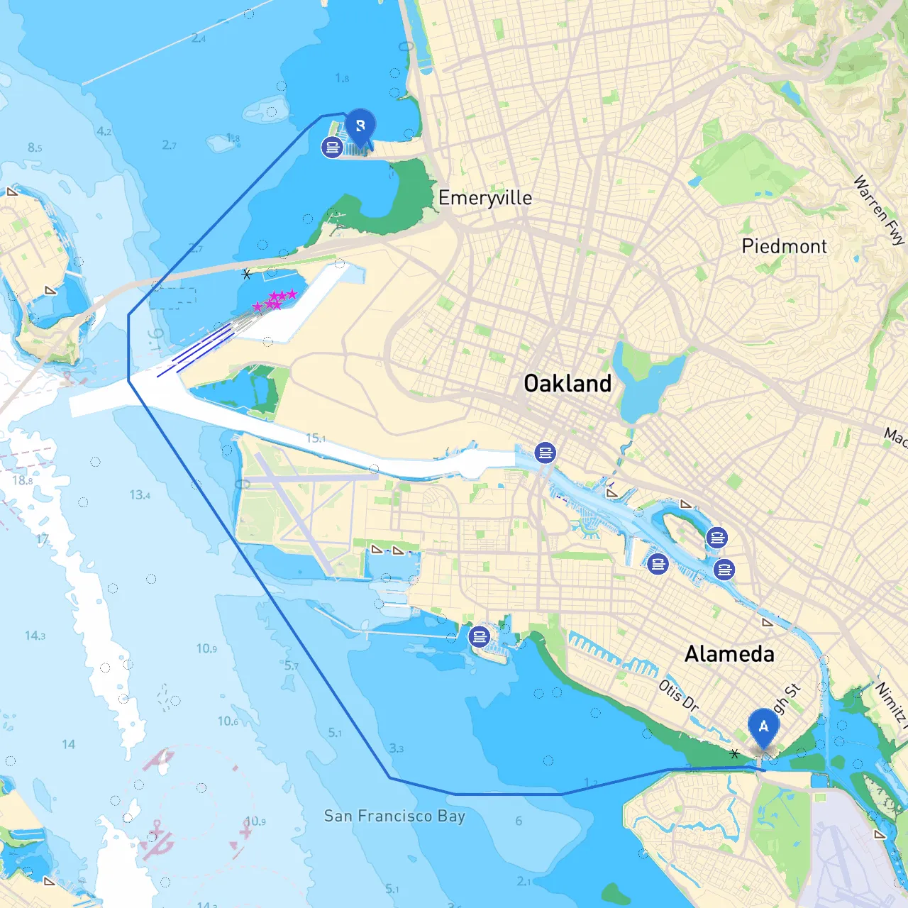
Departure Point: Alameda, CA** - **Coordinates**: Longitude -122.2354, Latitude 37.7507 Starting your journey in Alameda sets a charming nautical atmosphere with its rich maritime history. The city’s waterfront has several advantageous spots to cast off, with the local marinas providing easy access to the water. **Route Overview** This short but delightful trip will take you across a blend of beautiful bay views and vibrant city landscapes. The whole journey typically spans approximately 6-8 nautical miles, making it suitable for recreational boaters seeking a leisurely cruise in protected waters. In terms of expected duration, plan on about 1.5 to 2 hours of travel time, depending on your speed and time spent at stops along the way.**Key Hazards and Navigational Considerations** As you navigate towards Emeryville, pay close attention to the following hazards: - **Alameda Point**: The coastline can be tricky; watch for shallow waters and sandbars, especially near the point. Stay clear of the breakwater.- **Currents**: The area can have strong tidal currents, particularly during peak tidal changes. Utilize resources like tide charts to plan your departure for calm waters. **Bays and Shelters** Given the potential for sudden weather changes, there are good options for shelter along the way: 1. **Jack London Square**: Approximately halfway, this area features docks, restaurants, and a bustling atmosphere. An excellent place for a pit stop or to wait out changing weather.2. **Marina Cove**: As you approach Emeryville, if you need shelter from wind or rain, Marina Cove offers excellent protection and a safe harbor.
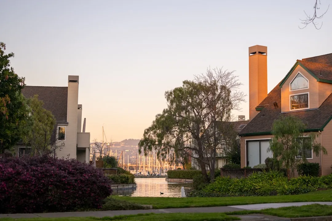
**Points of Interest** - **USS Hornet**: Located at the Alameda Naval Air Station, this historic aircraft carrier turned museum can be a fascinating stop if time allows, providing an engaging dive into naval history.- **Jack London Square**: This waterfront area is not only picturesque but is also lined with eateries, shops, and local activities, making it a great spot for a brief excursion.**Navigational Aids** As you navigate from Alameda to Emeryville, keep these aids in mind: - **Daymarks and Buoys**: Pay close attention to the navigation marks in the bay. Red marks indicate the starboard side while green marks signify the port side as you head upstream toward Emeryville.- **GPS and Marine Charts**: Utilize marine navigation apps like Savvy Navvy for real-time updates, route plotting, and obstacles. Keeping your charts updated and having backup navigation methods is crucial.**Navigation Restrictions and Regulations** Be aware of the following local regulations to ensure you comply while enjoying your trip: - **No Wake Zones**: Particularly around marinas and residential areas, adhere to the no-wake restrictions to avoid wake turbulence and to maintain safety.- **Federal and State Regulations**: Ensure all your safety equipment is up to date (life jackets, fire extinguishers, etc.) as per U.S. Coast Guard standards and local laws.This route is perfect for novice boaters or those looking for a relaxed day trip. It's a serene way to experience the Bay’s natural beauty and nearby attractions while keeping safety at the forefront. So, prepare your boat, chart your course, and set sail for a memorable bay adventure!

More routes from Alameda to Emeryville

No items found.