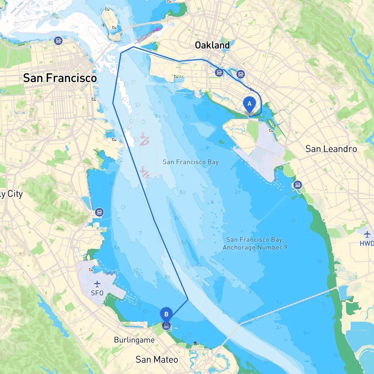
This journey from Alameda to San Mateo spans fascinating coastal scenery, vibrant wildlife, and a sense of adventure, making it a delightful and safe trip for both novice and experienced boaters. The trip is particularly suitable for recreational boaters looking to explore the shoreline while maintaining safety as a priority.
1. Departing Alameda Begin your journey from the bustling waterfront of Alameda, known for its calm waters and friendly marina environment. Before you set off, ensure you have updated weather reports and your vessel's safety equipment on board.
Hazards Notice: As you navigate away from Alameda, be aware of the shallow waters to the east and coastal currents which may be stronger in windy conditions.
Notable Aids: Pay attention to the "Alameda Point" buoys. They mark the entrance channel to the Bay, ensuring you remain in deeper water while heading toward your next waypoint.
2. Entering San Francisco Bay As you pass under the San Francisco-Oakland Bay Bridge, take a moment to appreciate the iconic views of the bridge and the bustling San Francisco skyline. This area can be busy with maritime traffic – be on the lookout for ferries and container ships.
Safe Harbor Options: If conditions worsen, you can find shelter in Oakland's Jack London Square or along Treasure Island, both offering safe anchorage and amenities.
3. Navigating to San Leandro Bay Continuing past the Bay Bridge, head toward the San Leandro Bay, a serene stretch of water that offers a different perspective of the city from the water. Wildlife is abundant here, making it a perfect area for birdwatching.
Notable Points of Interest: Consider taking a break at Roberts Landing, where you can enjoy local wildlife and perhaps a picnic.
Navigational Aids: Keep an eye on the "San Leandro Bar" buoy system, especially in rough weather, as it indicates deeper navigable channels.
4. Following the Shoreline to Hayward As you approach the Hayward Regional Shoreline, be cautious of low tides which can reveal sandbars. Follow the channel markers closely to avoid grounding your vessel.
Activity Suggestions: This area provides excellent opportunities for fishing and paddling, with various parks along the shoreline offering access to nature trails.
Hazards to Consider: Keep in mind tidal variations; make sure to check the current tide schedule to avoid getting trapped in shallow waters.
5. Navigating Through the Sloughs After passing through Hayward, you will enter the enigmatic salt marshes of the Hayward Marsh. The narrow channels require extra attention but are a delight for nature enthusiasts.
Key Aids: Follow the green and red markers closely. They will guide you through this beautiful but tricky maze of waterways.
Shelter Options: If the weather turns sour, both the Don Edwards San Francisco Bay National Wildlife Refuge and the Hayward Shoreline Interpretive Center provide safe spots.
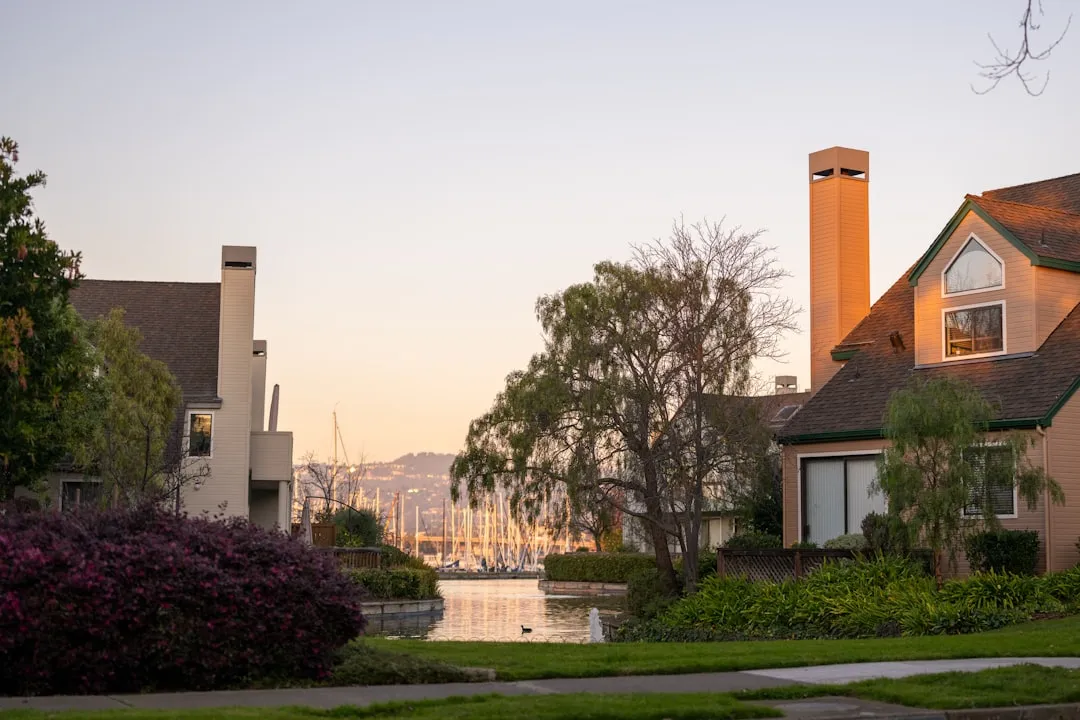
6. Approaching San Mateo As you round the final bend toward San Mateo, the waters widen, leading you through the quiet and picturesque channels past the various parks and residential communities that punctuate this area.
Local Regulations: Be cautious of speed limits and no-wake zones, particularly near the San Mateo County Harbor District.
Final Destination Opportunities: Upon arrival, San Mateo offers various waterfront attractions. Relax in the local parks or dine at waterfront eateries, providing an excellent way to end your journey.
While this route is captivating, safety is paramount. Keep your life jackets on, monitor weather conditions, and maintain lookout for other vessels. A good practice is to utilize navigational apps such as Navionics, Waterway Guide, and always include savvy navvy, which provides real-time weather updates and navigational guidance.
In summary, this route from Alameda to San Mateo not only offers an adventure filled with stunning views and engaging stops but is also designed to prioritize safety for a memorable day on the water. Enjoy the trip, and may the winds be favorable!