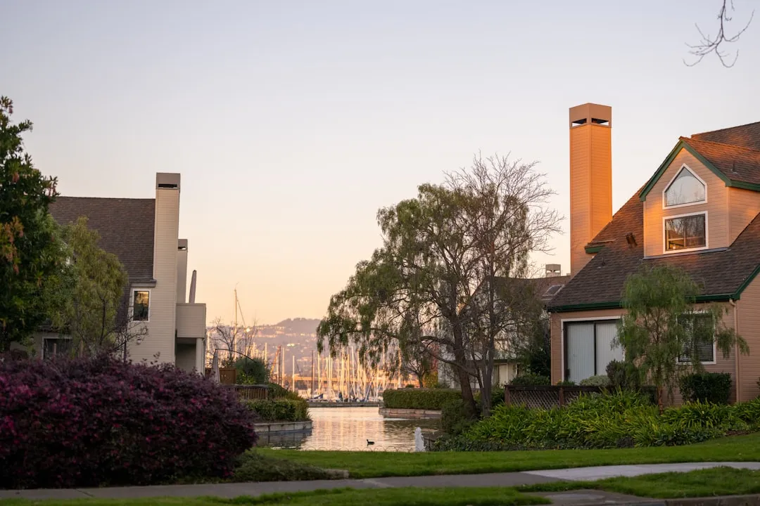
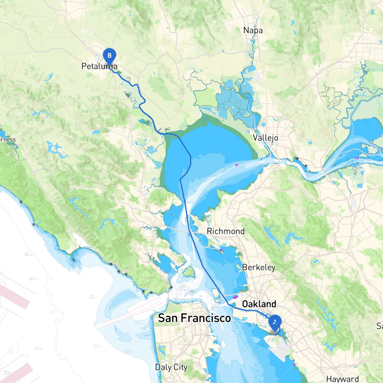
This journey will take you from the bustling shores of Alameda, through stunning waterways, and up into the picturesque Petaluma. The route offers a balance of natural beauty and urban scenery, perfect for boaters seeking an enjoyable and safe cruising experience.
1. Departing Alameda: Head northwest towards the entrance of the Oakland Estuary. You will encounter busy commercial traffic, so maintain a vigilant watch for large vessels and familiarize yourself with the traffic patterns in this section.
2. Navigational Aids: - As you transition from the Oakland Estuary into the San Francisco Bay, pay close attention to buoys and markers that will guide you towards your route. Key navigational aids include the red and green cans marking the channel and the lighted aids that indicate safe navigation paths.
3. Points of Interest Along the Way: - Jack London Square: A lively area where you can gather supplies or enjoy a quick meal. Though a short detour inland, this spot showcases a blend of history and modern culture. - Treasure Island: Another option for a short stop, Treasure Island offers breathtaking views of the San Francisco skyline. - Angel Island State Park: Depending on your timing, a brief detour to circumnavigate this beautiful island can provide excellent anchorage and a chance to hike or explore.
4. Approaching the Richmond-San Rafael Bridge: As you head north towards the bridge, you'll navigate through the main shipping channel. Keep a careful lookout for both commercial and recreational vessels.
5. Entering San Pablo Bay: The waters here can be subject to stronger currents and winds, particularly in adverse weather conditions. Be prepared to adjust your course as necessary and monitor conditions closely.
6. Shelter Options: If weather conditions take a turn, several bays serve as excellent refuge points: - San Pablo Bay: While navigation can be tricky, this bay offers several coves to take shelter. - Point Molate: Known for calmer waters, this area is ideal if you need to wait out a weather front.
7. Navigating the Petaluma River: Entering this narrow waterway requires attention to local tide conditions—ensure you’re aware of the current before proceeding. The river has varying depths, particularly in some shallower areas, so slow your speed and keep an eye on your depth sounder.
This route from Alameda to Petaluma is designed for recreational boaters that prioritize safety while still allowing for enjoyable exploration. With careful planning and attention to local hazards, this trip promises remarkable views, interesting stops, and the peaceful ambiance of California's waterways. Safe travels!