
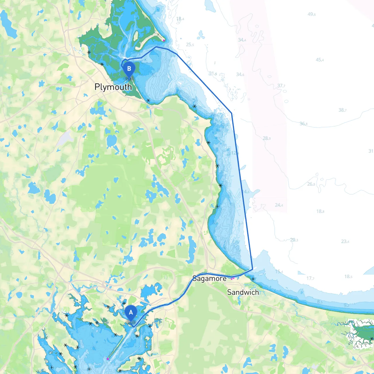
Starting Point: Wareham, Massachusetts Coordinates: Longitude -70.644, Latitude 41.727
Ending Point: Plymouth, Massachusetts Coordinates: Longitude -70.646421, Latitude 41.965016056
This route takes you from the charming coastal town of Wareham up to the historic town of Plymouth, a journey that provides you an opportunity to explore the beauty of Cape Cod Bay while keeping safety as the top priority. Ideal for recreational boaters, this journey spans approximately 15 nautical miles and offers both scenic views and key places to seek shelter if the weather worsens. Additionally, it includes opportunities for sightseeing and outdoor activities that will satisfy every type of adventurer onboard.
1. Keenan’s Beach and Wareham Village: Starting in Wareham, consider making a quick stop at Keenan's Beach for some fresh air before setting sail. The village itself offers convenience stores and local eateries for supplies.
2. Buzzards Bay: Shortly after leaving Wareham, you will transition into Buzzards Bay. This area is generally well-sheltered with various spots where you can duck into a bay if necessary. Key navigable points include the dredged channel which has substantial depth, but always keep an eye on tide levels.
3. Onset Bay: As you approach Onset Bay, the sheltered waters here offer a safe haven for a lunch stop. The town of Onset features flourishing parks and quaint beaches, perfect for a leisurely stroll or a picnic on shore.
4. Manomet Point: While heading north towards Plymouth, Manomet Point serves as a visible landmark. The expansive views of the water here provide a good opportunity to catch your breath and take in the scenery.
5. Plymouth Harbor: Your destination features a robust harbor with ample space and numerous moorings. You can tie up here and explore Plymouth’s rich history, including the iconic Plymouth Rock and Mayflower II.
Navigating these waters demands attention, particularly to local navigational aids.
Before embarking, ensure you are aware of any local regulations:
For the safest and most enjoyable journey, consider downloading some invaluable boating apps:
This route offers not just a safe passage to Plymouth but also an unforgettable experience of New England's coastal charm. With careful planning and an understanding of local navigation, you can ensure a safe and enjoyable voyage. Embrace the beauty of the waters around you, and let each stop along the way serve as an enriching experience in your boating adventure. Safe travels!