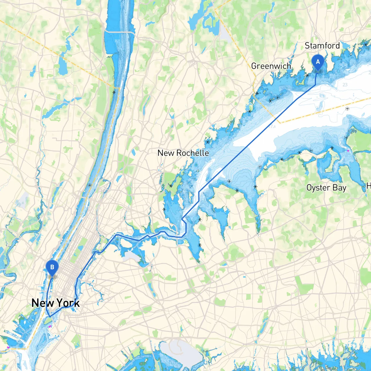
Pilotage Plan: Stamford, Connecticut to New York, NY
Overview
This pilotage plan outlines an exciting yet safe journey from Stamford, Connecticut, to New York City. The route covers a scenic jaunt along the Long Island Sound, offering beautiful vistas, potential shelter bays, and numerous points of interest. This trip is well-suited for experienced recreational boaters looking for a blend of tranquility and urban adventure, while ensuring utmost safety on the water.
Preparation
Before departure, check the local weather forecasts, tide tables, and navigational aids in the area. Ensure all safety gear is onboard, including life jackets, a first-aid kit, flares, and a functioning VHF radio. Familiarize yourself with the boat’s equipment and ensure everyone onboard knows basic navigation and emergency procedures.
Departure from Stamford
- Coordinates: Long/Lat -73.5465, 41.01717
- Harbor Navigation: Begin your journey from the Stamford Harbor, which is well marked and easy to navigate. Be wary of moored vessels and fishing activity in the harbor.
Journey Route
- Distance: Approximately 8 nautical miles.
- Hazards: Strong tides may be present, and care should be taken to avoid the shallow areas off the coast. Monitor local navigational markers closely.
- Point of Interest: Norwalk Islands. This archipelago provides sheltered bays ideal for a break. The islands are rich in wildlife and beautiful scenery, making for a great stop for lunch or exploration.
2. Norwalk to Southport
- Distance: Around 4 nautical miles
- Notable Landmarks: The Southport Harbor area is picturesque, characterized by its quaint charm and historic homes. Southport Yacht Club can provide facilities if needed.
- Shelter: If the weather turns, the waters off Southport are generally calm, providing good shelter.
3. Southport to Bridgeport
- Distance: Roughly 5 nautical miles.
- Navigational Considerations: Transitioning into Bridgeport, note the busy shipping traffic. It's crucial to stay vigilant around the working waterfront.
- Points of Interest: The Barnum Museum is an option for those who want to stretch their legs and take in a bit of local history.
4. Bridgeport to Stratford Point
- Distance: Approximately 3 nautical miles.
- Safeguarding: Stratford Point is marked with a lighthouse, providing a great visual cue. Close attention should be paid to the marker buoys indicating the channel.
- Shelter: The protected bay around Stratford is a haven in inclement weather.
5. Stratford Point to New Haven
- Distance: About 10 nautical miles.
- Navigational Aids: Watch for local oyster farming areas and fishing zones, as their presence may lead to buoys that change often.
- Notable Destinations: The New Haven Harbor offers opportunities for dockage and shore leave with attractions like the Yale University Art Gallery.
6. New Haven to New York City
- Distance: Approximately 30 nautical miles.
- Final Stretch Considerations: As you approach NYC, be mindful of increased vessel traffic, including ferries and commercial shipping. Adhere to the designated routes for small craft and maintain a lookout for large vessels.
- Point of Interest: Upon approaching New York City, the Statue of Liberty and Ellis Island can be spotted as you navigate into the Upper New York Bay, providing a remarkable view.
Arrival in New York City
- Destination: Manhattan, NY
- Coordinates: Long/Lat -74.01167, 40.74533
- Navigation Aids: Monitor the marine traffic control; signal your intentions if docking at a marina. Note: Several marinas are available, such as the North Cove Marina and the Manhattan Yacht Club.
Safety and Regulations
- VHF Communication: Keep your radio on channel 16 for emergencies and listen for navigational announcements.
- Local Regulations: Respect no-wake zones, especially near marinas and residential areas. Follow all posted navigational signs and adhere to speed limits.
- Weather Monitoring: Continuously monitor weather updates as conditions can change rapidly, especially in late afternoons.
Tools and Apps
To enhance your experience and bolster your safety, consider utilizing these recommended boating apps:- Savvy Navvy: For route plotting and up-to-date charts.
- Navionics: Provides detailed charts and local information about navigational hazards.
- Windy: Excellent for real-time weather forecasts.
This journey from Stamford to New York is more than just a trip; it’s an experience filled with stunning landscapes, engaging activities, and safe options. With careful preparation and observance of navigational guidelines, you’ll make lasting memories on this extraordinary waterway. Enjoy your adventure!