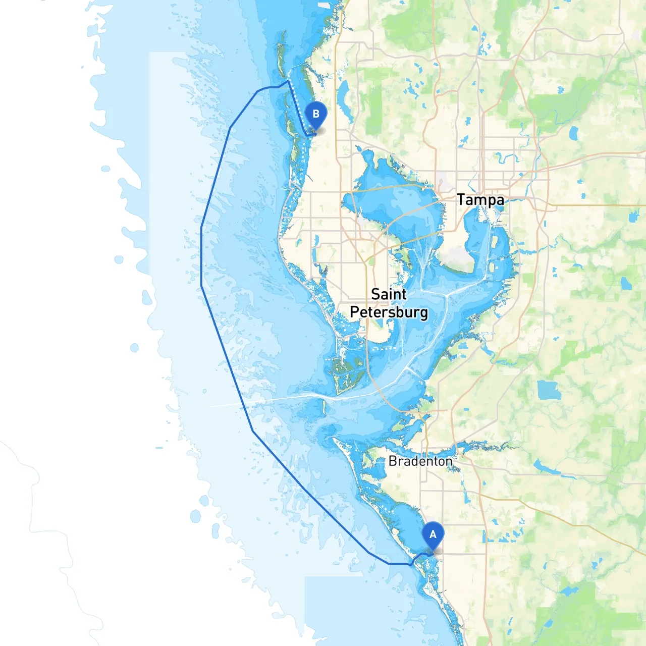
Pilotage Plan: Sarasota, Florida to Palm Harbor, Florida
Overview
This route from Sarasota to Palm Harbor offers a delightful blend of coastal scenery, charming waterways, and exciting points of interest, making it a fantastic journey for recreational boaters and seasoned mariners alike. While it provides opportunities for exploration and leisure, safety is paramount. This plan will equip you with essential navigational information, potential hazards, and recommended stopovers along the way.
Starting Point: Sarasota, Florida
Launching from Sarasota, you'll be in a vibrant area with plenty of local amenities and services. Make sure your boat is well stocked and all safety equipment is on board. Check weather conditions and tide schedules as they can significantly influence your journey.
Hazards to Note:
- Shallow waters can be found near the coastline, particularly in the Bay. Maintain a close eye on charts and avoid shortcuts in unknown areas.
Route Description
Section 1: Sarasota Bay to Bee Ridge
As you leave Sarasota Bay, head south-southeast to navigate around the shallow areas.
- Look for the markers (red and green buoys) that delineate safe channels. Especially pay attention to the markers leading in/out of the bay.
Navigating through Roberts Bay, you'll find a beautifully sheltered area—perfect for a weather break if conditions worsen. Here, you can find nearby parks where you can dock and enjoy a quick walk or picnic.
Section 2: South to Casey Key
Continuing toward Casey Key, be mindful of the changing tides which can create fairly strong currents. The water can become choppy, particularly on windy days.
Points of Interest:
- Casey Key is a lovely spot for exploring its pristine beaches. You could anchor near the beaches for a quick swim or beachcombing adventure. Just be sure to anchor in designated areas to avoid damaging the seagrass beds.
Section 3: Navigating the Intracoastal
As you head north, you'll want to transition into the Intercoastal Waterway (ICW). This stretch offers a more protected sailing experience away from the open Gulf.
Important Navigational Aids:
- Familiarize yourself with the ICW markers. The waterway is well-marked, but always exercise caution early in the morning or late in the afternoon as the sun can create significant glare.
While passing through Little Sarasota Bay, keep an eye out for wildlife and marine traffic. This area is known for its rich biodiversity, making it an exciting sight for nature lovers.
Section 4: Points of Interest along the ICW
Along the ICW, look for popular attractions:- Venice Inlet: Known for its fishing charters and stunning sunsets. Take a moment to enjoy the view or perhaps enjoy a late lunch in Venice itself, with local eateries lined up near the marina.
- Nokomis Beach: A great rest point with facilities and a beautiful beach. Ideal for a quick swim or beach exploration.
Section 5: Approach to Palm Harbor
As you get closer to the Tampa Bay area, the waters can become busy with larger vessels. Be vigilant as you approach major shipping lanes.
Shelters:
- If weather conditions take a turn, have a plan for seeking shelter at Tarpon Springs, just to the north of Palm Harbor. It's a vibrant fishing town known for its sponge diving history and Greek culture. It has accessible marinas should you need to dock.
Final Steps: Arriving in Palm Harbor
As you arrive in Palm Harbor, you’ll find a friendly harbor community with accommodations and rental services if needed. Always check the latest navigational charts for any changes, and keep a close watch for local boating regulations.
Safety Guidelines:
- Ensure that your life jackets are on board and accessible.
- Set a float plan that you share with someone on land.
- Be mindful of local wildlife protection areas, especially when near the mangroves.
Recommended Boating Apps
To assist in navigation and safety during your journey, consider using these apps:- Savvy Navvy: Excellent for route planning and includes charts that highlight hazards and points of interest.
- Navionics: For detailed navigational charts.
- Windy: To stay updated on changing weather conditions.
This trip is perfect for intermediate to experienced boaters who appreciate a blend of adventure and beautiful landscapes while also maintaining a high standard of safety. Enjoy your voyage, and may the winds be ever in your favor!