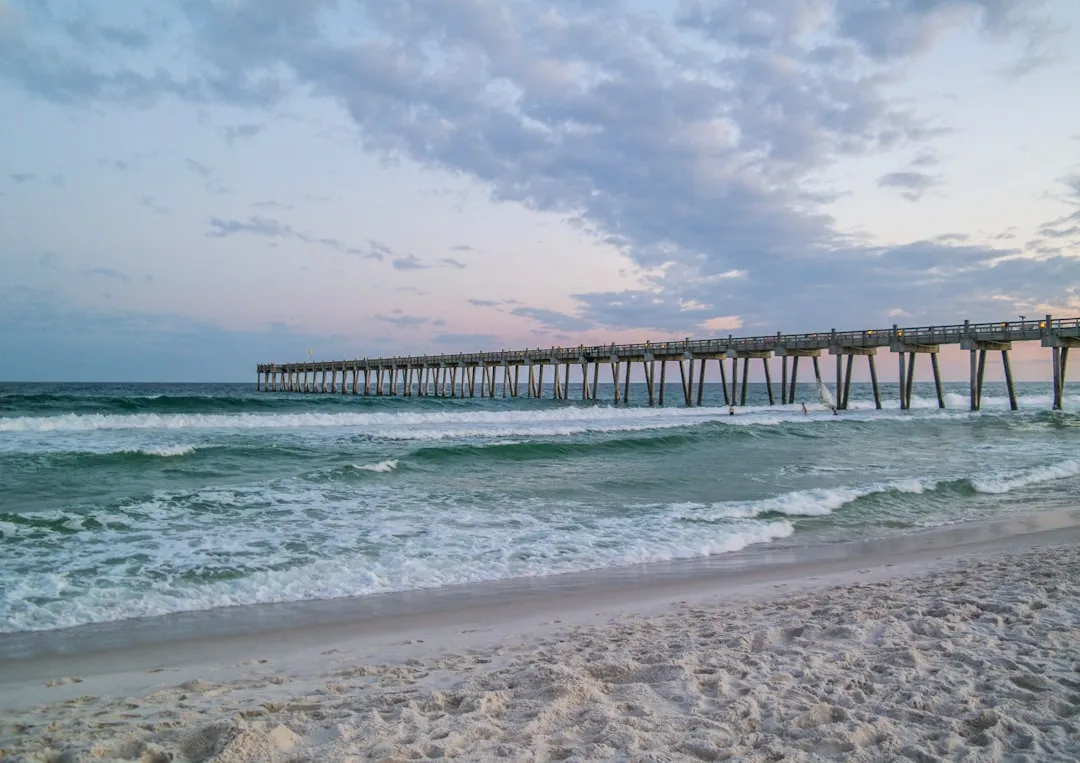
Pilotage Plan from Pensacola, Florida to Okaloosa Island, Florida
Overview
Embarking on a journey from Pensacola to Okaloosa Island offers a blend of scenic beauty, navigational challenges, and opportunities for shelter along the way. This itinerary caters to recreational boaters seeking both safety and enjoyment on the water, especially those who appreciate the serene coastal backdrop of the Florida Panhandle.
Trip Details
Start Point: Pensacola, FloridaEnd Point: Okaloosa Island, FloridaDistance: Approximately 36 nautical miles
Route and Navigation
1. Departure from Pensacola
As you leave the tranquil harbor of Pensacola, be sure to reference navigational charts carefully. Entering the Gulf of Mexico, be mindful of the following navigational aids:
- Pensacola Entrance Channel Buoys: These will guide you safely out of the harbor.
- Navigational Aid at Fort Pickens: An excellent landmark, Fort Pickens will be visible to your starboard as you make way.
Make certain to check local weather conditions before departure; the Gulf can be unpredictable.
2. Sheltering Options and Points of Interest Along the Route
- Santa Rosa Sound: This body of water runs parallel to the Gulf and provides a fantastic area for shelter should the weather turn adverse. The sounds and the beautiful expanses of water can also add extra enjoyment before continuing on your journey.
- Navarre Beach: A lovely area to stop for some leisure, you can anchor off the beach on the Gulf side for a refreshing swim or a stroll on the sandy shore. Pay attention to local regulations regarding stopping and anchoring.
- Navarre Park: An excellent location with facilities, should you desire to go ashore and experience some local charm.
- Big Sabine Point: As you continue on, this prominent landmark offers a picturesque view and an ideal spot for a brief rest.
3. Navigating to Okaloosa Island
Maintain a course that keeps you approximately 3-5 nautical miles offshore for the most scenic views while avoiding shallow waters closer to the coastline. Pay attention to the following aids:
- Buoys along the Gulf Coast: These will assist you greatly in maintaining a safe seaway. Remember to reference your charts during the route to keep your bearings.
- Emerald Coast: The water here is known for its stunning clarity. Keep an eye out for other boaters, swimmers, and fishing activities, as this region can become busy, especially during weekends.
- Local Regulations: As you near Okaloosa Island, be sure to adhere to any announced speed limits and restricted areas, particularly near marinas and wildlife refuges.
Safety Considerations
- Weather Monitoring: Before setting out, ensure that you have reliable weather apps installed, such as Savvy Navvy, which will provide continuous updates on weather and any potential storms in the area.
- Safety Equipment: Carry all necessary safety gear, including life jackets for all passengers, flares, a first aid kit, a functioning VHF radio, and a GPS device.
Conclusion
When considering the journey from Pensacola to Okaloosa Island, the route not only promises breathtaking views and the opportunity for leisure but also ensures that safety remains a priority. This route is especially suitable for recreational boaters and families looking for a mix of adventure and relaxation. With proper attention to navigational aids, weather conditions, and local regulations, your trip can be memorable and safe, truly reflecting the beauty of Florida’s coastline. Happy sailing!

