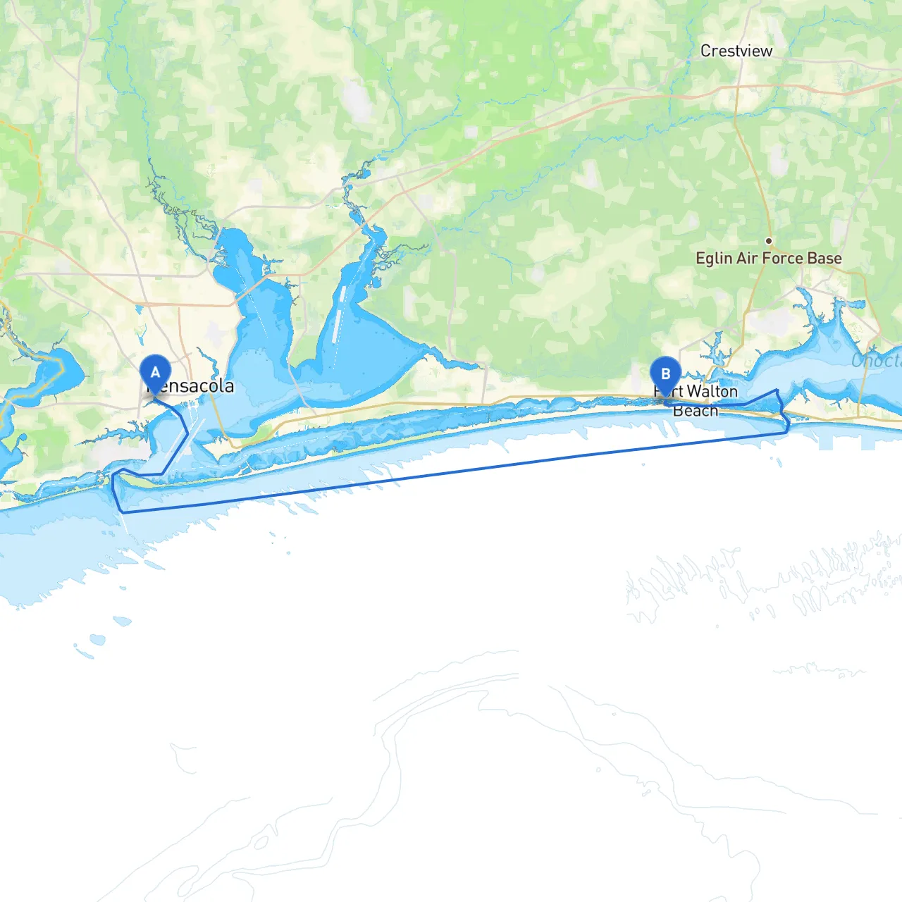
Embarking on a journey from Pensacola, Florida to Mary Esther, this trip offers a blend of picturesque scenery, local culture, and accessible shelter points along the way. This route is ideal for both novice and seasoned boaters, providing opportunities to enjoy the stunning waters of the Gulf of Mexico while remaining mindful of navigational challenges.
Coordinate: Long -87.25767, Lat 30.40667 As you set sail from Pensacola, be sure to take note of the iconic Pensacola Lighthouse and the nearby National Museum of Naval Aviation, both significant landmarks that can serve as reference points during your navigation.
1. Open Waters to Santa Rosa Sound Once you clear the bay, head east across Pensacola Bay toward the entrance of Santa Rosa Sound. Make sure to monitor your GPS as you navigate through the shipping lanes. The north side of the bay is marked by several navigational aids; pay special attention to buoys marking these channels.
2. Navigational Aids Utilize the various navigational markers along your approximate route including: - No. 7 Red Can Buoy: An essential mark indicating channel entry. - Green Lighted Buoys: To be kept to starboard going in this direction.
3. Shelter Options: Big Lagoon & Pensacola Bay Should the weather worsen, look for refuge at Big Lagoon, which offers calmer waters and is well-sheltered from high winds. Alternatively, if you find yourself backtracking, Pensacola Bay provides ample protection from prevailing weather.
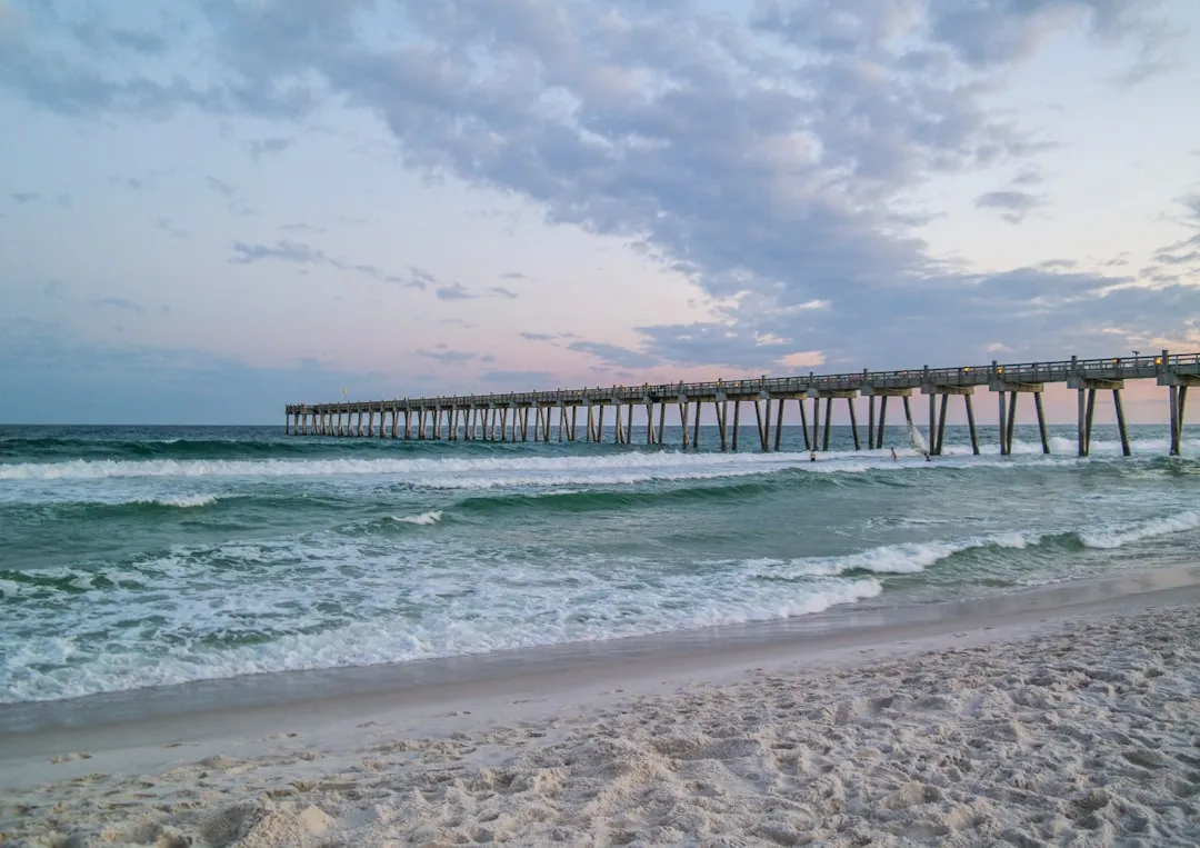
4. Points of Interest Along the Route - Fort Pickens: As you pass by, you can take a closer look at this historic military fort and even plan a brief stop-over for a picnic or some beachcombing. - Navarre Beach: A bit further down, with clear waters perfect for a swim or snorkeling, if time allows.
5. Approaching Mary Esther As you navigate westward toward Mary Esther, you will enter a more congested area with recreational boat traffic. Stay alert for other boats and observe navigation rules closely.
Coordinate: Long -86.65417, Lat 30.40475 You will find that Mary Esther is surrounded by inviting waterways, including access to the Choctawhatchee Bay and further to the Gulf. Be aware of local boating regulations regarding no-wake zones, especially around populated areas.
This route to Mary Esther isn't just safe; it also offers a fantastic opportunity to explore the scenic beauty and historical significance of the Florida coastline. You'll find that navigating these waters not only emphasizes safety but also enriches your boating experience, making it both enjoyable and secure. As always, prioritize safety first, and prepare for a delightful adventure ahead!