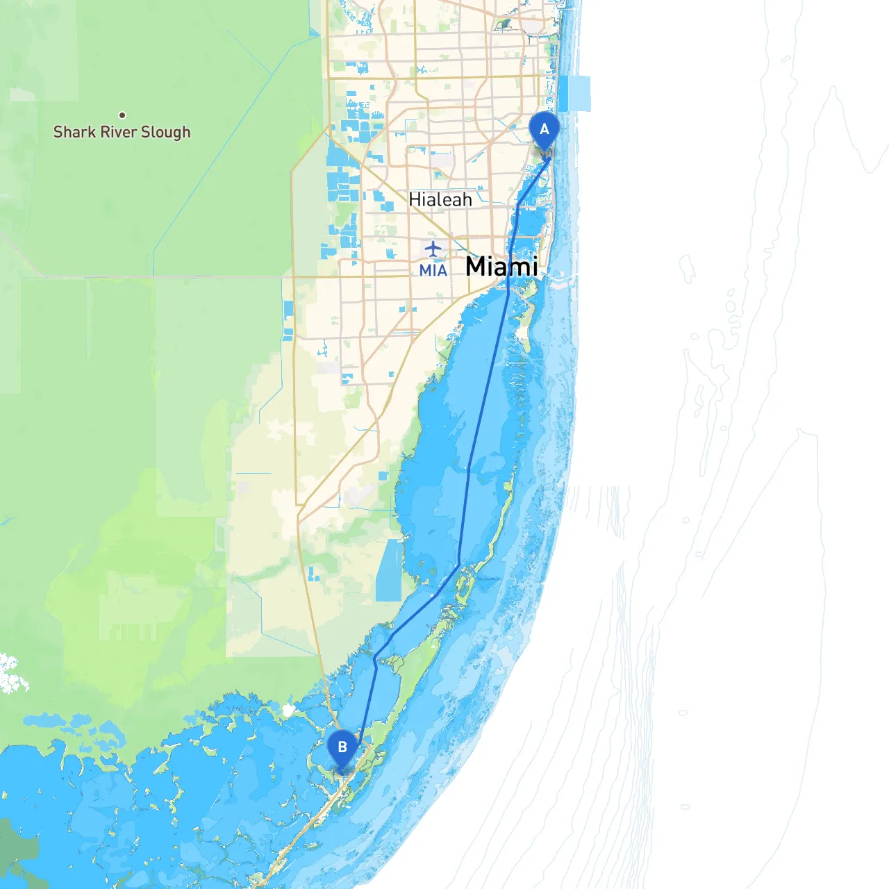

Pilotage Plan: North Miami, Florida to Key Largo, Florida
Overview:This route from North Miami to Key Largo offers a blend of stunning coastal views, navigational challenges, and opportunities for shoreline exploration. The approximate distance for the journey is about 45 nautical miles, and the trip is ideal for experienced boaters looking to enjoy both a scenic cruise through the Florida Keys and the serenity of open waters. While navigating, safety will always remain paramount, especially considering the changing weather conditions that can occur in this area.
1. Route Details:Starting from North Miami, your journey will take you through Biscayne Bay, transitioning to the Atlantic Ocean as you head south toward Key Largo. The waters you’ll navigate include busy waterways, requiring keen attention to local boat traffic and potential hazards.
2. Points of Interest:
3. Shelter Bays:
4. Navigational Aids and Considerations:As you start your route, be mindful of navigational marks and buoys that help demarcate channels, especially in busy waterways. Major landmarks include:
Watch out for speed regulations when near populated areas and national parks, especially as you navigate through Florida Keys National Marine Sanctuary waters. Respecting these rules will both enhance safety and preserve the vibrant ecosystems you’ll encounter.
5. Weather Considerations:Check forecasts prior to departure. The waters can experience sudden gusts and changes, requiring swift decisions on course adjustments. It’s advisable to have a reliable VHF radio onboard to keep in touch with weather updates and local marine advisories.
6. Recommended Apps for Your Journey:
Conclusion:This route from North Miami to Key Largo encompasses a blend of nature, cultural spots, and the unique charm of the Florida Keys. By prioritizing safety and staying informed of your surroundings, you’re promised a wonderful, memorable boating experience that combines adventure with the tranquility of Florida’s stunning seascapes. Enjoy the journey!