
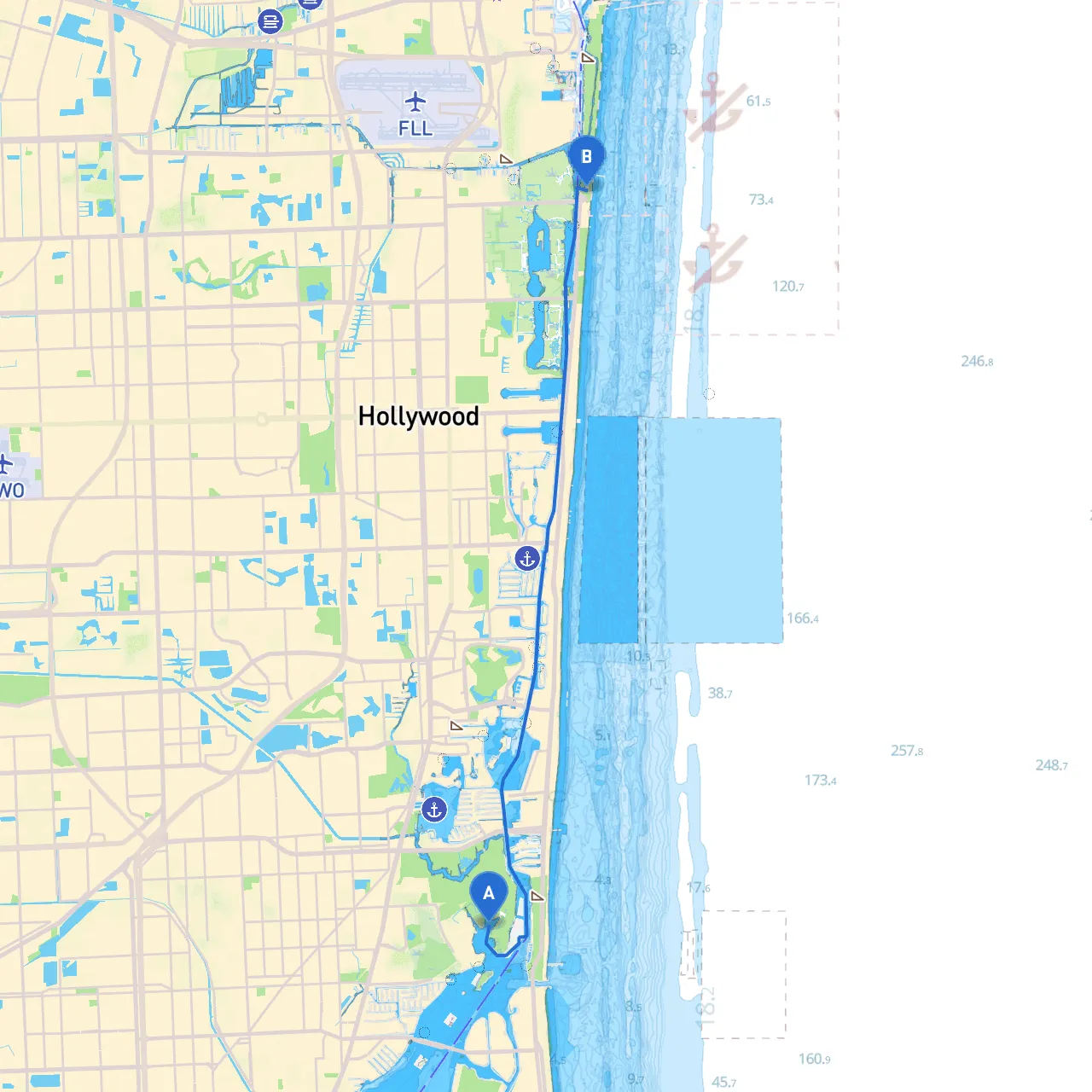
Pilotage Plan: North Miami, FL to Dania Beach, FL
This pilotage plan outlines a safe and enjoyable route from North Miami to Dania Beach. This stretch of water, framed by scenic vistas and dynamic coastal life, is ideal for boaters looking for a peaceful cruise or a short adventure. The route highlights notable landmarks, potential hazards, points of interest, and recommended stops should the weather turn unfavorable.
1. Leaving North Miami: - As you depart, navigate through Biscayne Bay. Ensure you follow the marked channels to avoid submerged hazards. Utilizing the local navigation charts will help here.
2. Notable Landmarks: - Oleta River State Park: Approximately 3 miles into your journey, this area is ideal for a brief stop. The park offers trails for onshore activities, and it is a picturesque viewpoint with mangroves lining the banks. - Haulover Inlet: On the seaward side, this inlet provides direct access to the ocean. Be cautious of tidal currents here, especially during a strong inflow or outflow.
3. Navigational Aids: - Look for the prominent day markers and buoys along the waterway. The markers will guide you past hazards and indicate depth variations. Pay particular attention to Buoys R2 and G3, indicating deep channels that are critical for safe navigation.
4. Shelter Options: - Sunny Isles Beach: If weather conditions begin to change, head towards the protective waters of Sunny Isles Beach. This area offers calm anchorage and amenities if you need to wait out rough weather. - Dania Cut-Off Canal: A strategic entry point leading to enclosed waters perfect for refuge. This canal runs parallel to your route and provides a sheltered passage.
This route from North Miami to Dania Beach is an excellent choice for novice and experienced boaters alike. It offers a perfect blend of leisure and safety, with opportunities for exploration while maintaining access to shelter in case of inclement weather. The usage of reliable navigation apps, particularly Savvy Navvy, will help enhance your experience by providing updated maps and real-time weather information. With the stunning views and accessibility of recreational activities, this journey promises an enjoyable day on the water while prioritizing safety throughout your adventure.