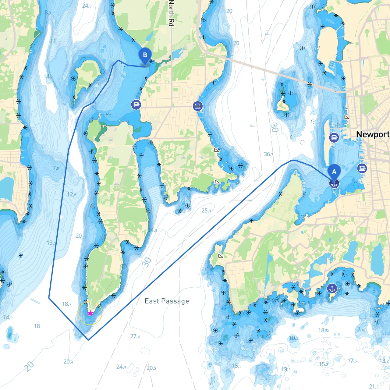
Starting Point: Newport, Rhode Island, United States Coordinates: Long: -71.3254666667, Lat: 41.4788
Destination: Jamestown, Rhode Island, United States Coordinates: Long: -71.3828333333333, Lat: 41.50525
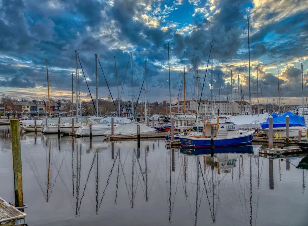
This route is ideal for recreational boaters looking for a short yet picturesque trip across Narragansett Bay. The journey is approximately 6 nautical miles and offers the chance to experience both the charming coastal scenery and the serenity of the bay. It’s perfect for both novices and seasoned sailors due to its relatively calm waters, albeit with certain navigational challenges that must be acknowledged.
1. Fort Adams State Park: Located just to the west of Newport, this historic fortification offers stunning views and is a great spot for a brief stop. You can also explore trails and picnic areas, which makes it perfect for families.
2. Clingstone: As you navigate through the bay, keep an eye out for this unique house on a rocky outcrop. It's a popular site for pictures and a beacon of local architecture.
3. Beavertail Lighthouse: Situated on Jamestown’s southern tip, this historic lighthouse offers a wonderful backdrop and is rich in maritime history. Stopping here provides both a historical experience and excellent views of the Atlantic.
4. Jamestown Village: Once you reach your destination, you can explore the quaint shops and restaurants in Jamestown. It’s a perfect spot to grab a bite or a cup of coffee before heading back.
1. Hazards: Pay close attention to the currents as they can be quite strong in certain areas of the bay, particularly near the entrance and around Beavertail. Watch for tidal changes which can affect depth and navigability.
2. Navigational Aids: - Lighthouses: Rely on Fort Adams Light and Beavertail Light for visual navigation. These are crucial aids while traversing the bay. - Buoys: Be sure to obey the marked buoys indicating navigational channels and safety zones. The Black Rock channel is well-marked, so keep an eye out for it as you make your way to Jamestown.
3. Local Regulations: - Familiarize yourself with local boating regulations, particularly regarding speed limits in certain areas and the no-wake zones surrounding marinas and inlets. - Ensure you have the necessary equipment on board as per local law, including life jackets, flares, and sound signaling devices.
Should the weather turn foul, there are several options for shelter:
For navigation on this route, I recommend downloading Savvy Navvy among other boating applications. It offers comprehensive charts that aid in your navigation and ensures you stay safe and informed throughout your journey. The app provides real-time weather updates, tide information, and navigational aids that can help you adjust your plans as necessary. Consider pairing it with apps like Navionics and Windy for additional features that optimize your sailing experience.
This trip combines the beauty of Rhode Island's coastline with essential navigation considerations. Its natural landmarks, historical sites, and protective shelters make it a delightful yet safe passage for any boater wishing to explore the waters of Narragansett Bay. Be sure to keep safety as your top priority while basking in the charm of your surroundings, and enjoy the journey from Newport to Jamestown!