
Pilotage Plan: Miami, Florida to Boynton Beach, FL
Overview
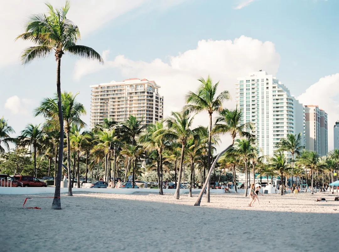
Setting off from Miami to Boynton Beach provides a wonderful opportunity to experience the vibrant coast of Southeast Florida. This route is suitable for boaters of various skill levels, but it is particularly ideal for those with some cruising experience who appreciate the beauty of Florida's Intracoastal Waterway (ICW) while being mindful of navigational hazards.
Route Description
Starting Point:Miami, Florida
Ending Point:Boynton Beach, Florida
Distance:Approximately 48 nautical miles via the ICW.
Estimated Travel Time:5-7 hours under normal cruising conditions.
Leg 1: Miami to Hallandale Beach (Approx. 10 NM)
As you leave Miami, navigate through the Intracoastal Waterway, marked by buoys and daymarks that will guide your way. Key points to consider include:
Navigational Aids:Pay attention to the ICW markers. The waterway is well-marked, but be cautious of shallow areas and always have charts on hand.
Hazards:Look out for traffic entering and exiting the port, as well as commercial vessels and fishing boats, especially near the entrance to the Miami River.
Point of Interest:
Haulover Park:A brief stop here allows you to stretch your legs, enjoy a beach picnic, or check out the nearby fishing piers. If weather looks questionable, Hallandale Beach offers several marinas for shelter.
Leg 2: Hallandale Beach to Fort Lauderdale (Approx. 10 NM)
Continuing north, you’ll find Fort Lauderdale, known for its canals, parks, and vibrant marine life.
Navigational Aids:Look for the New River entrance, leading into the expansive Fort Lauderdale waterways. Watch for large yacht traffic near the big marinas.
Hazards:The area can be congested, so make sure to communicate on Channel 16 and stay alert for other vessels.
Point of Interest:
Las Olas Boulevard:A short side trip can lead you to this shopping and dining hotspot, perfect for refueling yourself and your crew.
Sheltering Opportunity:
Fort Lauderdale provides numerous options for seeking shelter at its well-equipped marinas, should storm clouds begin to brew.
Leg 3: Fort Lauderdale to Pompano Beach (Approx. 7 NM)
As you progress into Pompano Beach, the coastal scenery becomes simply beautiful, characterized by sandy beaches lined with palm trees.
Navigational Aids:Remain vigilant of the ICW buoys and markers. Underwater rocks and shallow areas can emerge in this stretch, especially during low tide.
Hazards:Be wary of local fishermen and jet skis, which can clutter the waterways.
Point of Interest:
Pompano Beach Pier:A wonderful place to stop for fresh seafood or simply take in the sunset views from the pier.
Leg 4: Pompano Beach to Boynton Beach (Approx. 18 NM)
The final leg leads you toward Boynton Beach. Maintain a steady course along the ICW, where you can observe the marina facilities and majestic homes lining the waterfront.
Navigational Aids:Approach the Boynton Inlet cautiously, as it can have strong currents. Keep an eye on sea conditions and adjust your approach accordingly.
Hazards:Be alert for local fishing charters and sailboats making their way in and out of the inlets.
Point of Interest:
Boynton Beach Inlet:Provides an opportunity to enjoy some fishing or just relax and take in the ocean breeze.
Safety Considerations
Weather Watch:Always check the weather forecast before departure. Be sure to monitor conditions continuously, as they can change rapidly in this region.
Local Regulations:Familiarize yourself with any local laws, particularly regarding speed limits in certain zones or areas of restricted anchoring.
Communication:Consider using a VHF radio, especially when passing through busy ports or inlets.
Recommended Apps
Savvy Navvy:A fantastic tool for navigation, providing charts and route planning capabilities on your mobile device.
Navionics:Another excellent resource for detailed nautical charts and weather updates.
Windy:Useful for checking real-time wind and weather conditions during your trip.
ThisPilotage Plan delivers a blend of safety and enjoyable experiences, fostering a sensible yet engaging journey. Prepare well, and you'll have a wonderful day on the water as you cruise from Miami to Boynton Beach, allowing the stunning Florida coastline to guide your way.