
Pilotage Plan for Boat Trip: Miami, Florida to North Miami Beach, Florida
Overview This trip from Miami to North Miami Beach is a delightful journey along the picturesque waters of Biscayne Bay. The route boasts beautiful scenery, diverse marine life, and a handful of enjoyable stops for those looking to explore along the way. The overall distance is approximately 12 nautical miles, making this an ideal excursion for both novice and experienced boaters seeking a mixture of leisure and adventure.
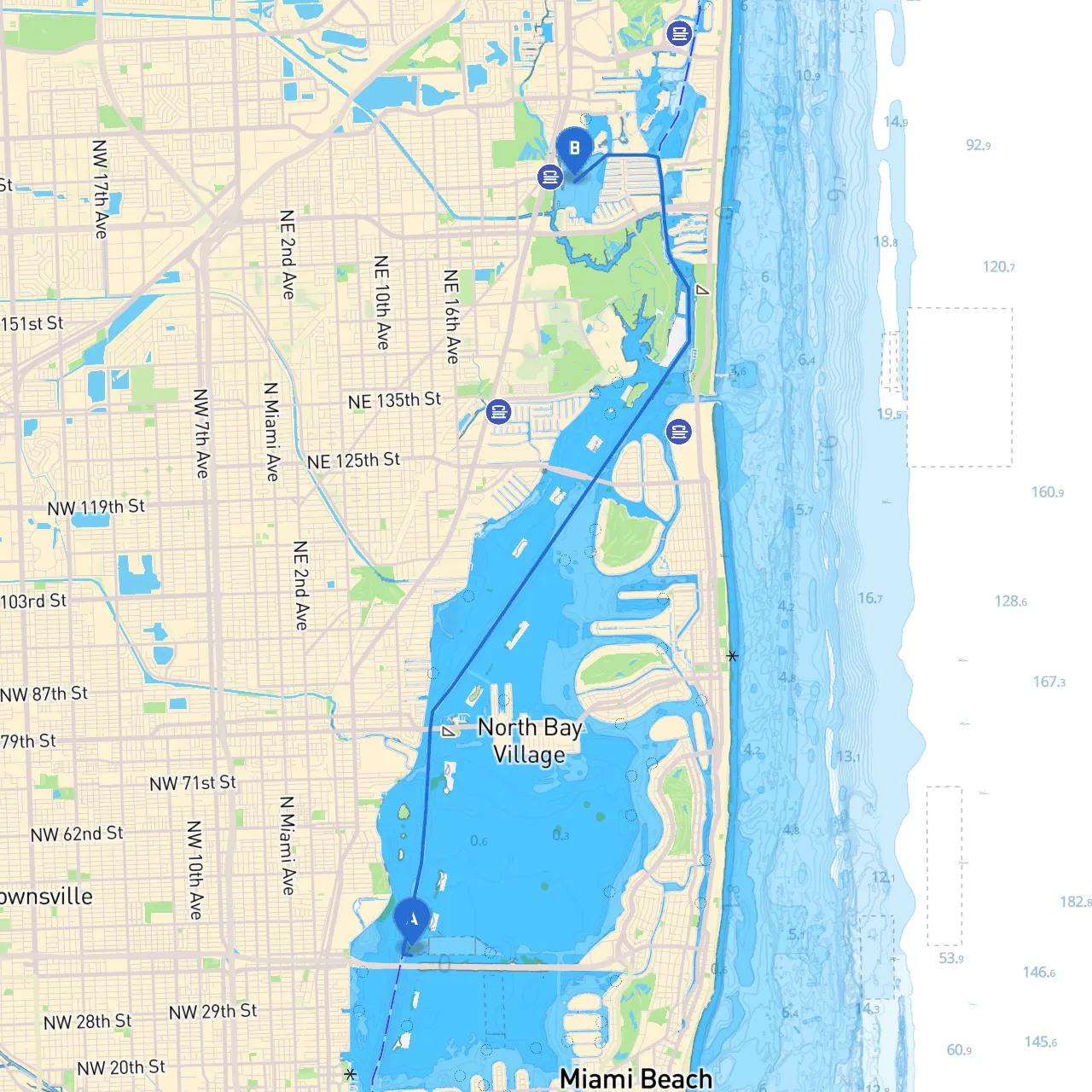
Route Description and Navigation Aids Starting at Miami's coordinates of 25.81297° N, -80.17445° W, the journey will navigate through Biscayne Bay. As you set off, it's crucial to keep an eye on the navigational aids, including buoys, and markers, particularly the no-wake zones around residential and commercial areas to ensure safety for both passengers and nearby vessels.
1. Leaving Miami: Head north from Miami Beach towards the Rivo Alto Channel. This area is particularly busy with jet skis and paddleboards, so maintain caution and adhere to the speed limits.
2. Biscayne Bay: As you continue into Biscayne Bay, which is teeming with local wildlife, including dolphins and manatees, be prepared for some changes in water depth. The area is mostly navigable, but be alert to shallow spots, especially along the western part of the bay.
3. Navigational Marks: Pay close attention to the red/green navigational marks denoting your path through the bay. These will guide you along major channels which tend to maintain deeper depths. The channel between the islands such as Hobie Island and Virginia Key is an important segment to monitor your charting closely since the currents can be stronger here.
Notable Points of Interest
Shelter Options Should the weather take a turn for the worse, there are ample spots for shelter:
Safety Considerations
Local Regulations
Recommended Apps To enhance your navigation experience and ensure you stay updated on local conditions and hazards, a few apps come highly recommended:
This journey from Miami to North Miami Beach offers much more than just a trip—it's a chance to immerse yourself in the natural beauty of Biscayne Bay while prioritizing safety and adventure. Enjoy the waters, and happy cruising!