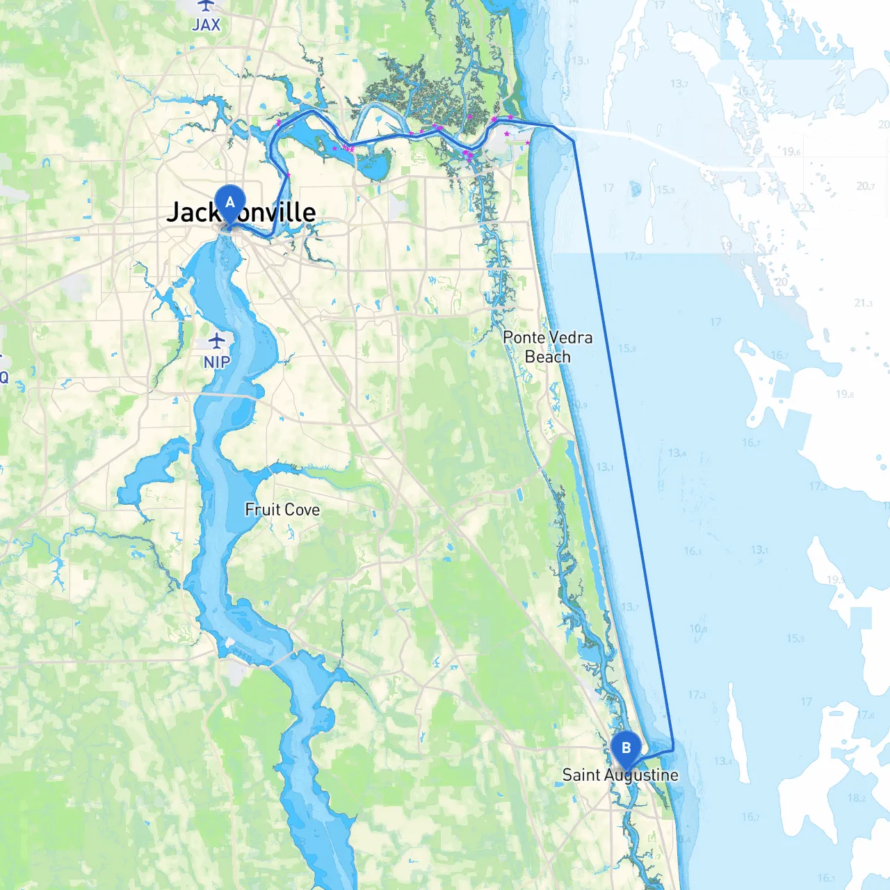
Pilotage Plan: Jacksonville, Florida to St. Augustine, Florida
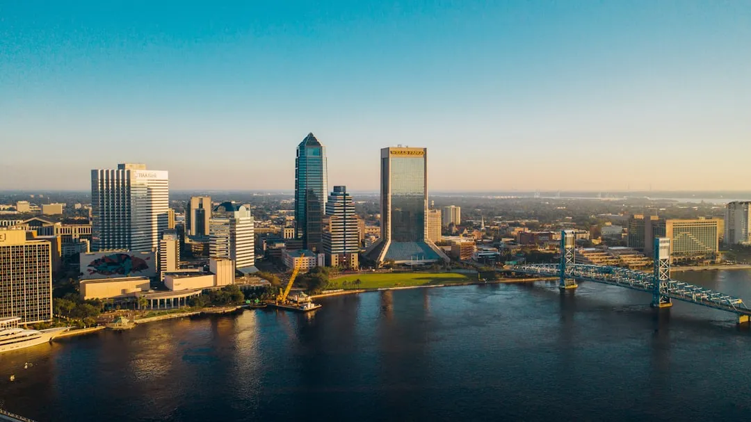
Departure Point: Jacksonville, Florida Coordinates: Longitude -81.665032614, Latitude 30.318684077
As you embark from the bustling city of Jacksonville, you’re in a prime location for a picturesque and adventurous trip along the northeast coast of Florida. The journey to St. Augustine, the oldest city in the U.S., is about 40 nautical miles and is suitable for recreational boaters and sailors alike.
Your journey will predominantly take you through the scenic Intracoastal Waterway (ICW), making for a safe and enjoyable route. As you set off, remember to stay vigilant, especially in areas with bridges and the occasional commercial traffic.
Key Waypoints:1. Jacksonville River to St. Johns River: Leave the marina and head southeast, following the markers on the St. Johns River. Keep an eye out for the numerous commercial vessels; their presence is essential to the economy here.
2. Murray Hill and Orange Park: As you approach the Green Cove Springs area (by mile marker 1), you’ll notice noticeable housing and small boat activity along the banks. The navigational aids will be your best friends here—don’t forget those markers!
3. Approaching the ICW: Once you turn south into the ICW, the journey takes on a new character. The waters here are more tranquil and lined with stunning marshlands and rich flora. Keep your lookout on the bay as you navigate south toward the Fort Caroline area.
4. Bays & Safe Shelter: If weather conditions deteriorate, consider seeking shelter in Baker Bay or Pablo Creek. Both areas provide good anchorage, offering protection from foul weather and a chance to take a break.
1. Fort Caroline National Memorial: A quick detour can take you to this historic site, celebrating early French colonization in America. It's a chance to stretch your legs while learning about local history.
2. Huguenot Memorial Park: A little further south, this park has a beautiful beachfront for a quick stop—perfect for a picnic or a short stroll on the sands.
3. Crescent Beach: If time allows, this pristine stretch offers a beautiful spot for some beach fun.
As you proceed down the ICW, navigational markers will guide you—be sure to adhere to them closely. They will indicate depths and potential hazards. Watch out for shifting sand bars, especially around Nassau Sound and near St. Augustine Inlet, which can be unpredictable at low tide. Always check tide schedules before departure to avoid grounding.
As you close in on your destination, prepare for St. Augustine’s picturesque waterfront, marked by stunning historic architecture and the famous Castillo de San Marcos. The entrance can be busy with local ships and tourist boats, so keep watch for traffic and follow channel markers carefully.
1. Weather Updates: Keep an ongoing check on weather conditions before and during your journey. Using a reliable weather app such as NOAA Weather or Windy can alert you to changes in conditions.
2. Marine Traffic Monitoring: Using marine apps such as Savvy Navvy can help track your route more efficiently and keep an eye on marine traffic. They also provide detailed charts and safety information for the areas you'll be traveling through.
3. Equipment Check: Ensure that your vessel's safety equipment (life jackets, flares, fire extinguishers) is up to code before leaving the dock. A life vest isn’t just a good idea—it’s your best safety net.
This route from Jacksonville to St. Augustine is not just about the destination; it's also about the beautiful sights and rich history along the way. Perfect for recreational boaters who enjoy both the open water and the occasional detour for local exploration, it offers safe navigation while allowing for some delightful stops along the Intracoastal. So gear up, chart your course, and enjoy this maritime journey!