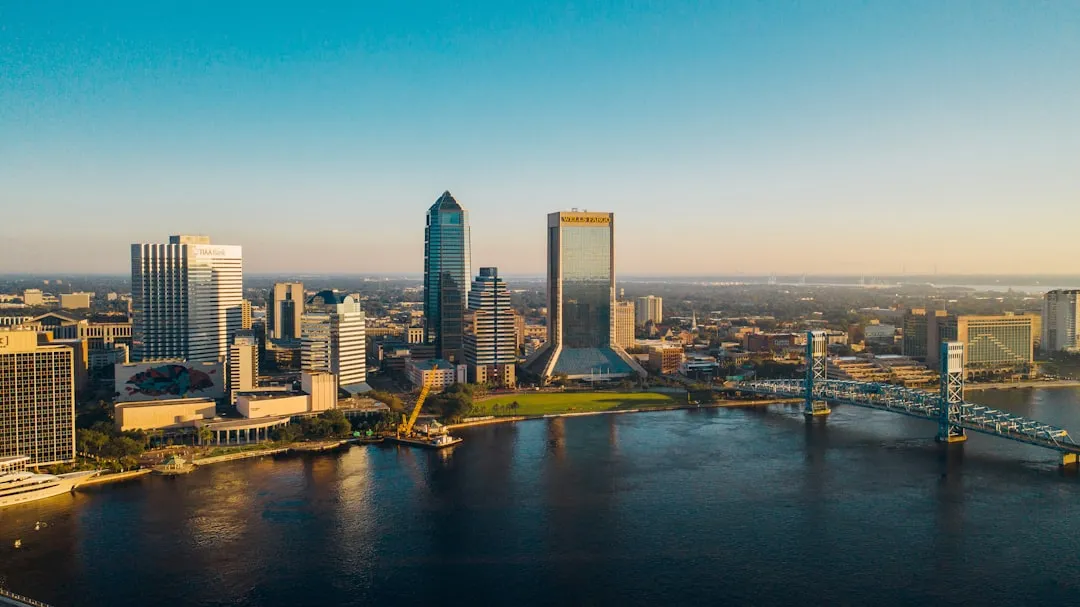
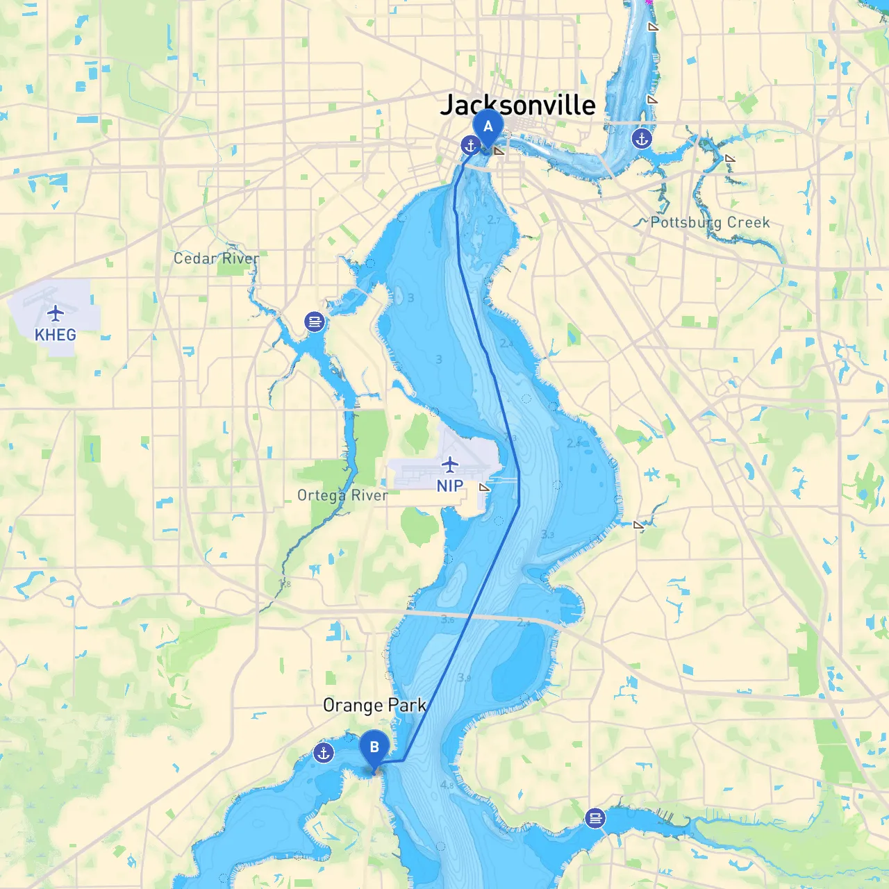
Pilotage Plan: Jacksonville, Florida to Fleming Island, Florida
As you prepare for this scenic journey from Jacksonville to Fleming Island, you're setting off on a route that not only showcases some of Florida's coastal beauty but also ensures safety through thoughtful navigation. This trip is suitable for pleasure craft and experienced boaters looking for a mix of tranquility and mild adventure. Let’s outline the key stages of your journey.
Route Overview
Beginning in Jacksonville, your destination, Fleming Island, lies approximately 20 nautical miles southwest along the St. Johns River. The trip duration can vary based on vessel speed; plan for around 1.5 to 2 hours of cruising time under ideal conditions.
Points of Interest & Shelter Bays
- St. Johns River: The main waterway of your journey, the St. Johns River is a vital freshwater estuary teeming with wildlife. As you cruise south, keep an eye out for manatees and various bird species.
- Sister's Creek: Located shortly after departing Jacksonville, this creek is a beautiful spot for a break if you decide to explore. While it provides limited shelter, it’s a perfect little detour for a quiet moment in nature.
- Fort George Island: As you approach, the charming beauty of Fort George Island’s shoreline and requisite parks provides an ideal point of interest. Stop at the historic plantation or enjoy the beaches - a pleasant backdrop for a pause about halfway through your journey.
- Bays and Creeks for Shelter: Consider heading into Jacksonville's inlets like the Mill Cove area or the Black Creek into your route as potential emergency havens should the weather suddenly change. They provide adequate shelter from winds and would be safe options to anchor up.
Navigation Considerations
The St. Johns River is a well-traveled waterway, but certain navigational aids and regional regulations require your attention:
- Markers and Buoys: Pay close attention to the channel markers, particularly Green (even numbers) and Red (odd numbers) markers that guide you through narrow sections. Maintain awareness of your depth, as parts of the river can be shallow depending on weather and tidal changes.
- Obstructions: Keep a lookout for logs and other debris that may float down the river, especially after heavy rains. Always adhere to the navigational aids which specify restrictions around these areas.
- Speed Zones: Be mindful of any posted speed limit signs, especially in residential areas or around marinas where you may encounter fishing boats or pleasure craft.
- Wildlife Regulations: Respect local wildlife and no-wake zones, which are important around wildlife refuges and calmer marinas.
Final Recommendations
Before embarking, ensure your boat's equipment is in perfect working order. Check your VHF radio for communication with local marinas or if necessary, contact marine authorities for any advisories. It’s advisable to use a reliable GPS system for navigation—both the built-in system on your boat and a mobile app like Savvy Navvy, which often provides detailed charts and real-time updates on conditions, tides, and currents. Additionally, consider Navionics and C-Map for supplementary navigational support.
With all safety measures in place and an exciting plan, this trip along the St. Johns River promises to be fulfilling yet safe. Boating is about the journey as much as the destination—allow yourself to enjoy the water, wildlife, and the beauty of nature on your way to Fleming Island. Safe travels!