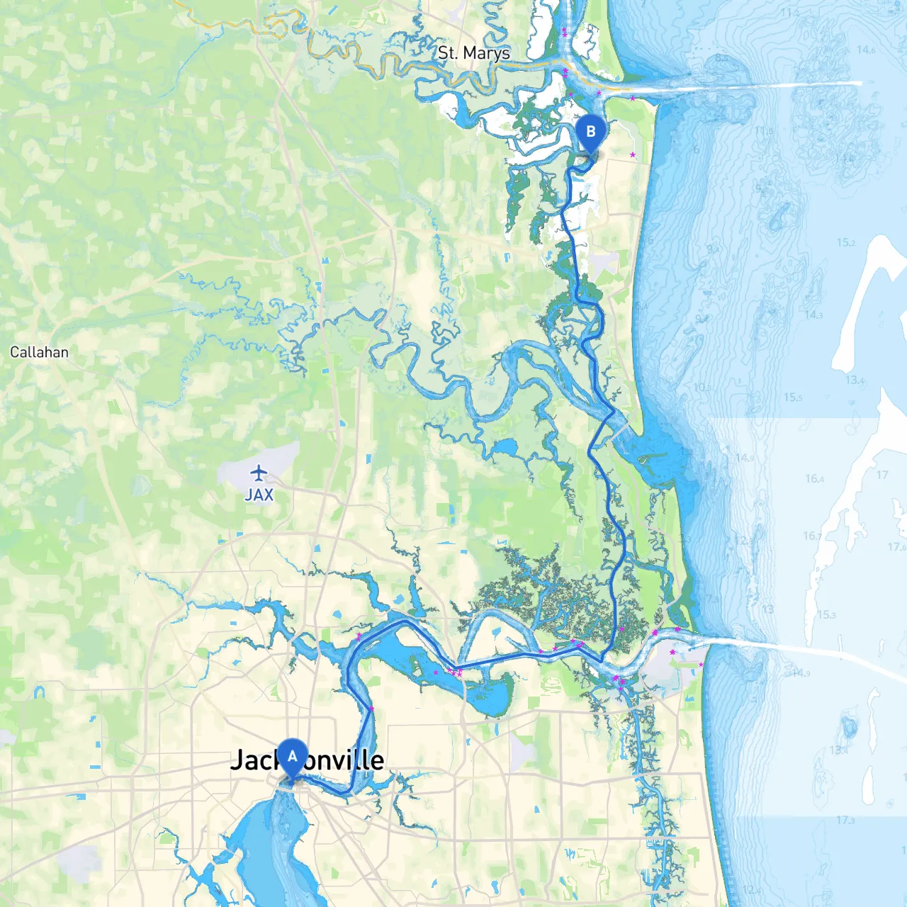
Pilotage Plan: Boat Trip from Jacksonville, Florida to Fernandina Beach, Florida
Overview of the Journey:This boating trip along the northeast coast of Florida spans approximately 30 nautical miles using the intracoastal waterway. It offers an exquisite blend of vibrant coastal scenery, unique wildlife, and opportunities to explore charming local attractions. While safety will be paramount, the picturesque surroundings will make this a memorable experience for any boater, whether novice or experienced.
Route Description:
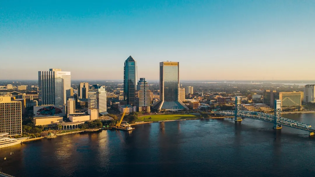
Starting from the bustling St. Johns River in Jacksonville, you’ll navigate towards the Intracoastal Waterway (ICW) heading northeast. The ICW is well-marked and allows for a safe and scenic journey along the coast, following the tidal flow of the Atlantic.
Key Landmarks and Points of Interest:
1. Huguenot Memorial Park: As you depart from Jacksonville, consider a brief stop at Huguenot Memorial Park. Known for its lovely beach and tranquil atmosphere, the park provides an ideal spot to stretch your legs before heading further down the waterway.
2. Fort George River: The Fort George River can be a delightful detour. Boaters can explore its serene environment, and it offers good shelter in case of sudden weather changes. The river is lined with lush mangroves and is a sanctuary for various bird species which are a delight for birdwatchers.
3. Sisters Creek: This creek is easily navigable and offers a perfect place for a quick rest or to anchor. It's also a great area for fishing and enjoying the natural beauty of the surrounding marshlands.
4. Little Talbot Island State Park: As you continue towards Fernandina Beach, you'll pass the southern tip of Little Talbot Island. This island offers secluded beaches, nature trails, and picnic areas. It’s a fabulous spot for families looking to enjoy some fun in the sun.
5. Amelia Island: A brief glance at Amelia Island as you approach your final destination will present a charming scene. If time allows, you could make your way to the main island and explore historic Fernandina Beach, known for its charming shops and restaurants.
Navigational Considerations:
Sheltering Options:
Should the weather turn foul, the following bays and creeks are recommended for seeking immediate shelter:
Suitable Boater Profile:This route is particularly suited for recreational boaters, families, or those interested in leisurely cruises. With reasonable distances, ample shelter options, and numerous points of interest, it allows for both relaxation and exploration. The calm intracoastal waters create a safe environment, perfect for less experienced boaters, while the more seasoned ones can appreciate the scenery and wildlife along the way.
Recommended Boating Apps:For navigation and safety, consider incorporating a few handy boating apps into your preparations:
With this plan, not only will you navigate safely from Jacksonville to Fernandina Beach, but you'll also make the journey enjoyable and full of discovery. Safe travels!