
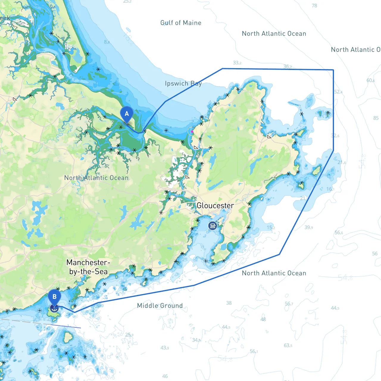
This trip from Ipswich to Salem spans approximately 18 nautical miles along the scenic North Shore of Massachusetts. This route is particularly well-suited for recreational boaters seeking a combination of natural beauty, historical intrigue, and safe navigation. The journey offers numerous idyllic spots for safe harbor and picturesque points of interest, ensuring a memorable and safe outing on the waters of Essex County.
Start your journey at Ipswich Harbor, navigating the meandering Ipswich River out into the open waters of the Atlantic. As you blend into broader waters, stay alert to the noise of the world gradually fading, leaving you with only the soft lapping of waves against your hull.
1. Departure from Ipswich Harbor: - Coordinates: 42.66567, -70.73658 - Ensure you check charts for low-water markers in the river and adjust your departure accordingly. - Watch for recreational boaters and fishing vessels as you leave the harbor.
2. Into the Atlantic: - From the mouth of the Ipswich River, head approximately 5 nautical miles southeast towards the mouth of the Essex River. This area has a few shoals, so pay close attention to marked navigational buoys, specifically the day markers along the coast.
3. Points of Interest along the Way: - As you travel the coastline, you’ll pass Plum Island, famous for its wildlife refuge and beautiful beaches—this is an excellent spot for bird-watching or taking a brief break. Keep your eye open for sand bars and be aware of tides that could affect your navigation. - Continuing towards Rugby Creek, you can view the Parker River National Wildlife Refuge. Make sure to enjoy the serene scenery and unique coastal landscapes.
4. Approaching Salem: - On your way to Salem, maintain a course towards the scenic Salem Bay, a popular destination with historical significance. Work your way up the coast, being mindful of marked channels that guide you safely into the city’s waterfront. - The Salem Willows Park is a lovely spot for a longer rest, offering picnic areas, arcade games, and stunning views of the harbor.
5. Arriving in Salem: - Coordinates: 42.55208, -70.79750 - Be aware of local regulations, including mooring time limits, as you approach the harbor. You can also check available slips if you plan for an overnight stay.
As you navigate, keep in mind local regulations regarding speed limits in harbor areas and no-wake zones, which help protect marine wildlife and nearby vessel traffic. Be sensitive to fishing regulations in this area, as some locations may be designated as restricted zones.
This trip from Ipswich to Salem presents not just a passage but an experience steeped in natural beauty and rich history. It allows for exploration and respite while ensuring safe navigation along the beautiful New England coastline. Whether you’re a seasoned sailor or a weekend adventurer, this route promises to be a trip worth taking. Happy cruising!