Pilotage Plan: Genoa to Sestri Levante
Overview
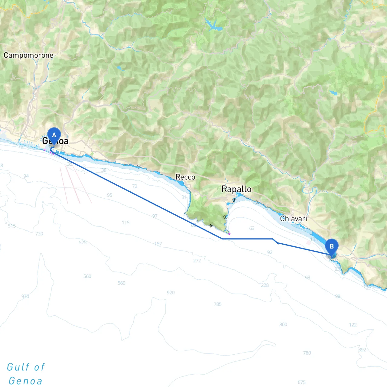
This route from Genoa to Sestri Levante encapsulates the stunning coastal landscape of the Italian Riviera. It's an adventurous day cruise perfect for a seasoned sailor or a confident cruiser looking to enjoy picturesque bays, charming towns, and serene waters. The route is approximately 30 nautical miles and will take you through diverse navigational challenges and scenic delights.
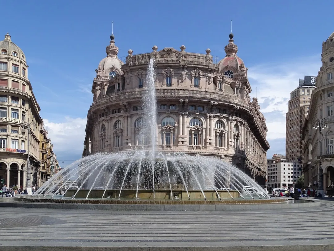
Departure: Genoa, IT
Genoa serves as a bustling harbor city with rich maritime history. Before departing, ensure your vessel is thoroughly checked and stocked with provisions. The port is well-equipped with facilities for addressing any last-minute needs.
Notable Points of Interest
- Piazza De Ferrari: If you have time, visit this historic square accentuated by impressive architecture before heading out.
- Old Port Area: A quick stroll in the vibrant Old Port area can provide an invigorating start.
Route Highlights
- Bays of Camogli: Approximately 10 nautical miles from Genoa, this area presents gorgeous scenery and is a welcoming place to drop anchor if conditions deteriorate. The town of Camogli is lovely for a short visit—famous for its colorful houses and local seafood.
- Portofino: Just a little further, you’ll approach the iconic Portofino Bay, a popular tourist destination. With its luxurious yachts and chic boutiques, it's an ideal place to collect your bearings or to take a lunch break. Keep an eye on local boat traffic, as it can get busy.
Navigational Considerations
On this stretch, precious navigational aids and considerations include:
- Cabo di Santa Margherita: As you round this point, be cautious of strong currents and sea traffic. The cape offers a distinctive landmark with its lighthouse. Make sure to reference local charts for safe navigation.
- Marine Traffic: This area can often be bustling with ferries, commercial vessels, and tourist boats, especially near Portofino and Santa Margherita Ligure. Keep a vigilant lookout for other crafts, and maintain a safe distance, particularly when crossing busy channels.
- Corso di Mare: When passing through this section, be aware of the occasional fishing nets. Always adhere to designated navigation routes.
Shelters and Safety
As you progress toward Sestri Levante, the key harbors and bay areas for emergency shelter include:
- Bocca di Magra: If the weather turns inclement, this bay offers good shelter from southerly winds.
- Riva Trigoso Bay: A picturesque spot with amenities, Riva Trigoso offers a safe harbor should you need it.
Arrival: Sestri Levante, IT
Your arrival in Sestri Levante heralds the end of this pleasurable journey. The town, known for its enchanting beaches and vibrant fishing culture, invites exploration.
Final Considerations
- Check Weather Conditions: Before setting off, inspect sailing forecasts and advisories. This region can be prone to sudden weather shifts.
- Safety Equipment: Ensure that you carry all necessary safety equipment. This includes life jackets, a first-aid kit, and distress signaling devices.
Recommended Navigation Apps
Utilize technology to bolster your safety and enjoyment while cruising:
- Savvy Navvy: An exceptional app for real-time navigation with chart plotting.
- Navionics: To access updated nautical charts and discover local points of interest.
- Windy: For real-time wind and weather forecasts along your route.
This journey isn't just about getting from point A to point B; it’s about experiencing the beauty, culture, and wonder of the Italian coast. Stay safe, be vigilant, and enjoy every moment on the water!