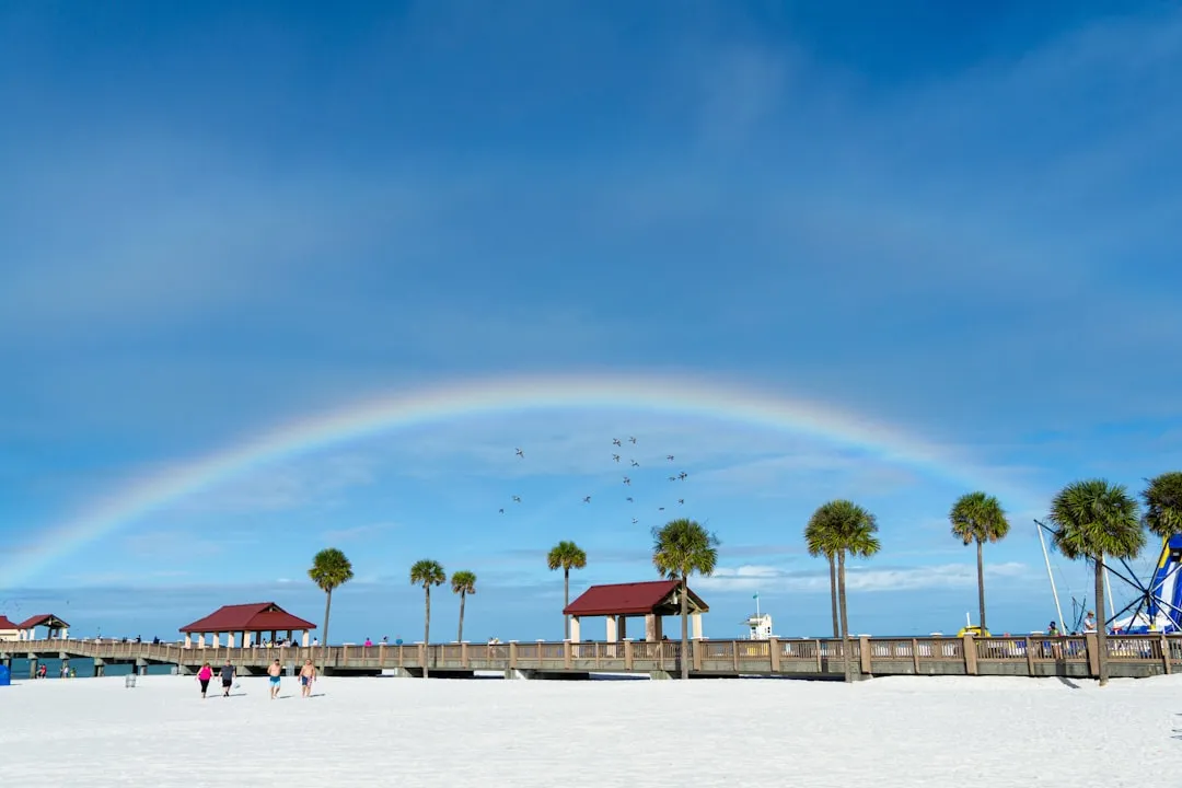
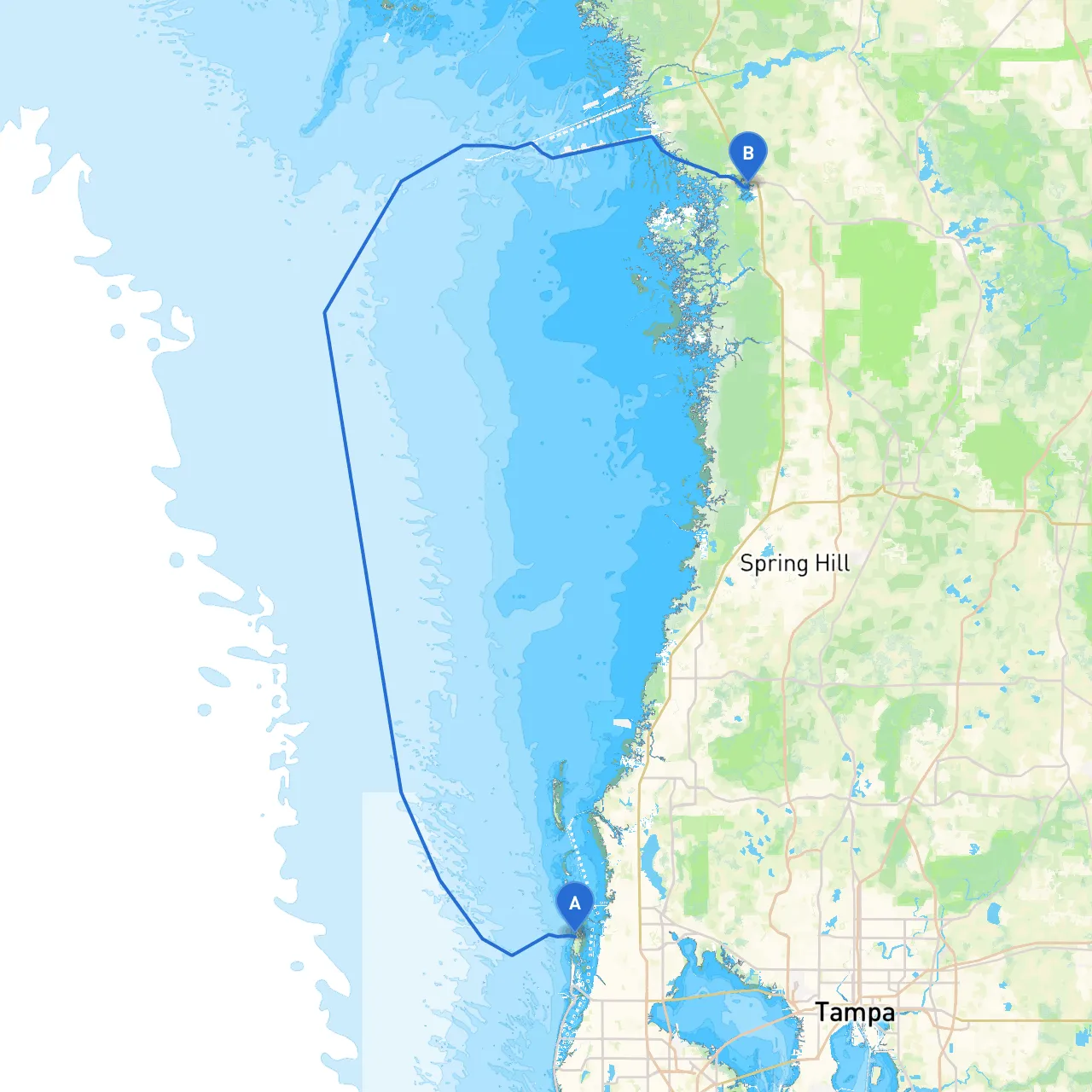
Starting Point: Clearwater, Florida Ending Point: Crystal River, Florida Coordinates: Clearwater (28.0344, -82.8234), Crystal River (28.8933, -82.5981)
This boating adventure from Clearwater to Crystal River promises scenic vistas, engaging activities, and opportunities to learn about the rich coastal ecosystem. The route is approximately 42 nautical miles and is suitable for experienced boaters who appreciate tranquility and are keen on navigating through varied waters.
1. Tarpon Springs: - Distance from Clearwater: ~15 nautical miles north. - What to Do: This charming town is famous for its sponge diving industry and Greek heritage. Explore the local shops, sample delicious Greek cuisine, or visit the Tarpon Springs Aquarium. - Shelter: If weather turns bad, you can dock at the Tarpon Springs Marina, which provides good facilities and protection.
2. Anclote Key Preserve State Park: - Distance from Clearwater: ~12 nautical miles. - What to Do: This uninhabited key offers beautiful beaches, trails, and great backdrop for swimming and sunbathing. Ideal for a picnic and some exploration. - Shelter: While anchorage is available here, pay attention to weather conditions; strong winds can lead to choppy waters.
3. Homosassa River: - Distance from Crystal River: ~10 nautical miles. - What to Do: Renowned for its manatee population, particularly during winter months, this area is perfect for some wildlife viewing. There’s a variety of dining options along the river. - Shelter: Homosassa has a number of marinas that can provide safe harbor if needed.
From Clearwater, your passage starts in the fabulous Gulf of Mexico. Plot a course north along the coast while keeping a close eye on navigational aids to ensure optimal safety.
1. Depart Clearwater Beach Marina: - Head west from Clearwater Marina and follow the marked channel. - Make sure to adhere to all local no-wake zones as you depart.
2. Navigating Tarpon Springs: - As you approach Tarpon Springs, follow the buoyed channel. Pay attention to the markers, particularly around the sponge docks, where the waters can get shallow. - Keep an eye on boat traffic as this area is frequented by both local commercial vessels and recreational boaters.
3. Towards Anclote Key: - From Tarpon Springs, continue your path northwest towards Anclote Key. Use your chart or navigation app to stay within the safest depths—there are areas of shoaling to watch out for. - Beautiful sunsets can often be observed here if timed just right!
4. Transition to Homosassa River: - After Anclote Key, you’ll navigate back into the Gulf to turn eastward towards the southern mouth of the Homosassa River. - Watch for the artificial reefs and keep track of your location using aids like channel markers.
5. Final Leg to Crystal River: - Continue along the coast making your way towards the Crystal River area. Ensure you have the chart plotted for the various shallow areas. - The final approach involves navigating through the deeper areas while being cautious of kayakers and paddleboarders especially during weekends.
For a safer and more enjoyable trip, make sure to utilize navigation apps such as:
This beautiful journey from Clearwater to Crystal River is not just about reaching a destination—it's about experiencing every moment on the water, with safety and enjoyment at the forefront. Embrace the beauty of Florida’s Gulf Coast, and enjoy the adventure!