
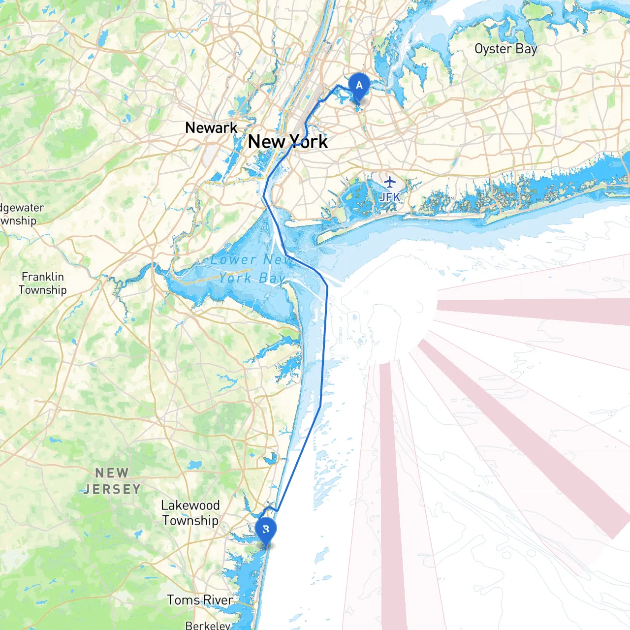
Pilotage Plan from New York City, NY to Mantoloking, NJ
Route Overview:This journey begins in the bustling waters of New York City and takes you toward the serene beaches of Mantoloking, NJ. Covering a distance of approximately 60 nautical miles, this route is rich in landmarks, scenic views, and sheltered bays—all while prioritizing safety against changing weather conditions. Ideal for intermediate to seasoned boaters, the route offers an enjoyable mix of urban and natural experiences.
Starting Point - New York City:Your adventure begins at coordinates 40.7742 N, 73.8505 W. As you set off, you'll navigate through the busy waterways of the East River. Be on the lookout for the iconic Manhattan skyline, the Brooklyn Bridge, and the hustle of city life.
Key Points of Interest Along the Way:1. Liberty Island: A short detour can take you near this historic site to get a glimpse of the Statue of Liberty, a global symbol of freedom. It's a popular spot for photos but ensure to maintain a safe distance and respect any no-wake zones.2. Jersey City Waterfront: The waterfront area has beautiful parks and dining options, perfect for a quick stop if time permits.
Navigational Considerations:
The Route:
End Point - Mantoloking, NJ:You will conclude your journey at Mantoloking, located at coordinates 40.0378 N, 74.0538 W. It’s renowned for its beautiful beaches and tranquil atmosphere.
Safety Recommendations:1. Weather Checks: Always check the marine forecast before departure and be prepared for sudden changes.2. Navigation Apps: Utilize marine navigation apps such as savvy navvy to ensure you have the latest chart updates and weather information. Other apps that may be helpful include Navionics and Aqua Map for route planning and navigation.3. VHF Radio: Keep your VHF radio on channel 16 for emergency communications and navigate nearby marinas and ports as needed if any situation arises.4. Safety Equipment: Ensure your vessel is equipped with life jackets, flares, first-aid kits, and an emergency signaling device.
Concluding Thoughts:This route from NYC to Mantoloking offers a balance of urban excitement and serene natural beauty. With careful planning and attention to safety, you can have an unforgettable journey while being prepared for any unexpected changes in the weather. Whether you're experienced or building your skills, this voyage is one that promises not just safe navigation but also a touch of adventure and exploration. Happy boating!