
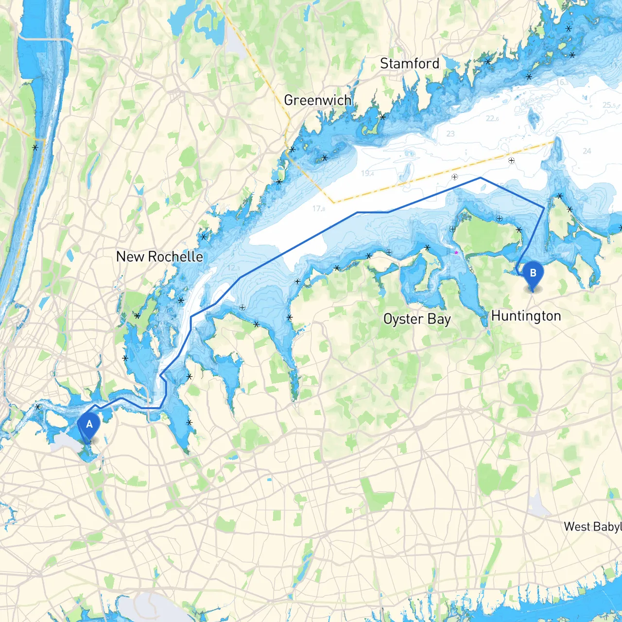
Departure Point: New York City, NY (Lat: 40.7742, Lon: -73.8505) Destination Point: Huntington, NY (Lat: 40.8855, Lon: -73.4188)
This excursion is perfect for mid-range powerboats and cruising sailboats able to handle varying sea conditions. The route provides a blend of urban and natural scenery, allowing both leisure and awe-inspiring views.
The journey from New York City to Huntington is approximately 30 nautical miles when navigating through the Western Long Island Sound. The path offers excellent sightseeing opportunities while easing into the natural beauty that dominates the Long Island coastline.
1. East River: As you leave NYC, consider a brief detour into the East River. This will give you impressive views of the Manhattan skyline and iconic bridges. Only venture here if conditions are calm; the East River current can be strong and tricky on certain tides.
2. Little Neck Bay: A great place to take shelter should the weather change suddenly. This area is usually calm and protected; here you can anchor and enjoy a respite with beautiful views.
3. Manhasset Bay: Another sheltered bay, Manhasset offers harbor facilities where you can refuel or grab a bite to eat. The bay also provides access to nearby parks for a bit of land exploration.
4. Northport: This quaint seaside village along the way is a fantastic place for exploring local shops and restaurants. A perfect place to stretch your legs and grab a meal should you feel inclined to pause your journey.
This route combines the bustling atmosphere of urban life with the serene nature of Long Island's coastline, suitable for those who appreciate both. It provides ample opportunities for exploration while facilitating safe refuge if the elements turn against you. As you explore, communication with other vessels and awareness of your surroundings will greatly enhance your experience.
Finally, using navigational applications like Savvy Navvy, Navionics, or OpenCPN will aid in safer route planning and navigation. Happy cruising, and may your journey be filled with smooth seas and delightful stops!