
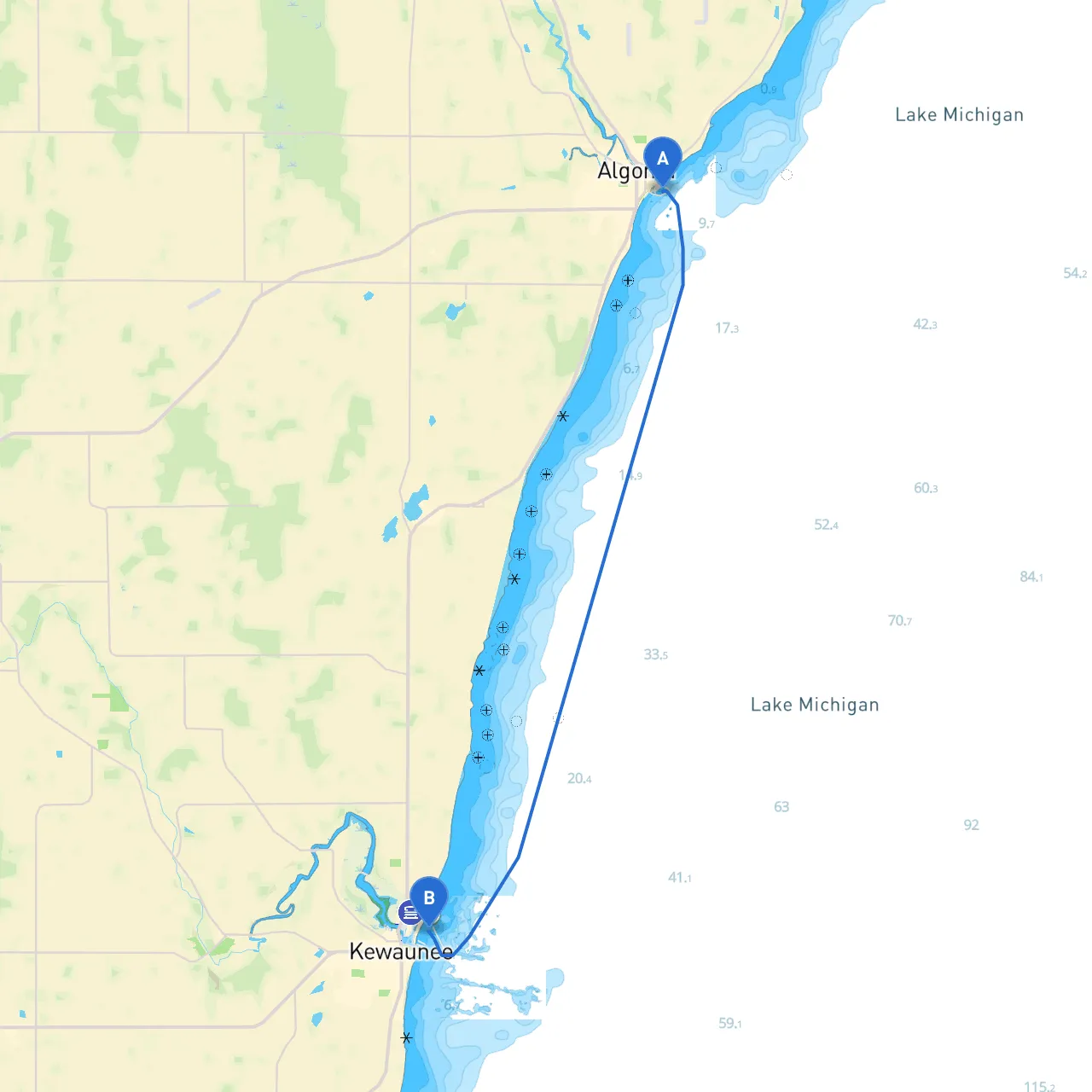
Starting Point: Algoma, Wisconsin Ending Point: Kewaunee, Wisconsin
This route along Lake Michigan’s shoreline offers a splendid opportunity for boaters seeking a delightful and safe journey while showcasing the beautiful natural landscape of Wisconsin. It's especially suitable for experienced recreational boaters and those looking to take a scenic day trip or a weekend escape. Safety remains paramount; therefore, it’s important to keep a close eye on weather conditions and navigational aids as you navigate from Algoma to Kewaunee.
Leg 1: Departure from Algoma As you set sail from Algoma, take time to enjoy the picturesque harbor view, abundant with fishing boats and recreational vessels. The waters here can be busy, especially during weekends. Utilize the local marinas for any last-minute supplies or to check on local weather conditions.
Leg 2: Coastal Navigation After leaving Algoma, chart a course due south towards Kewaunee. This stretch is approximately 10 nautical miles and will generally take about 1.5 to 2 hours of cruising time, depending on your vessel's speed.
To enhance your boating experience, consider using boating apps like savvy navvy for real-time navigation updates and route planning. This can significantly aid in avoiding hazards and ensuring safe passage. Additionally, using local charts or navigation software will help remember all local regulations and maritime restrictions.
The journey from Algoma to Kewaunee is not only a safe route for boaters but also crafted for enjoying the natural beauty and local charm of Wisconsin's coastline. By observing the necessary precautions, remaining mindful of the weather, and leveraging local resources, your boating experience will be both enjoyable and safe. Happy boating!