
Pilotage Plan: Wrightsville Beach, North Carolina to Oak Island, North Carolina
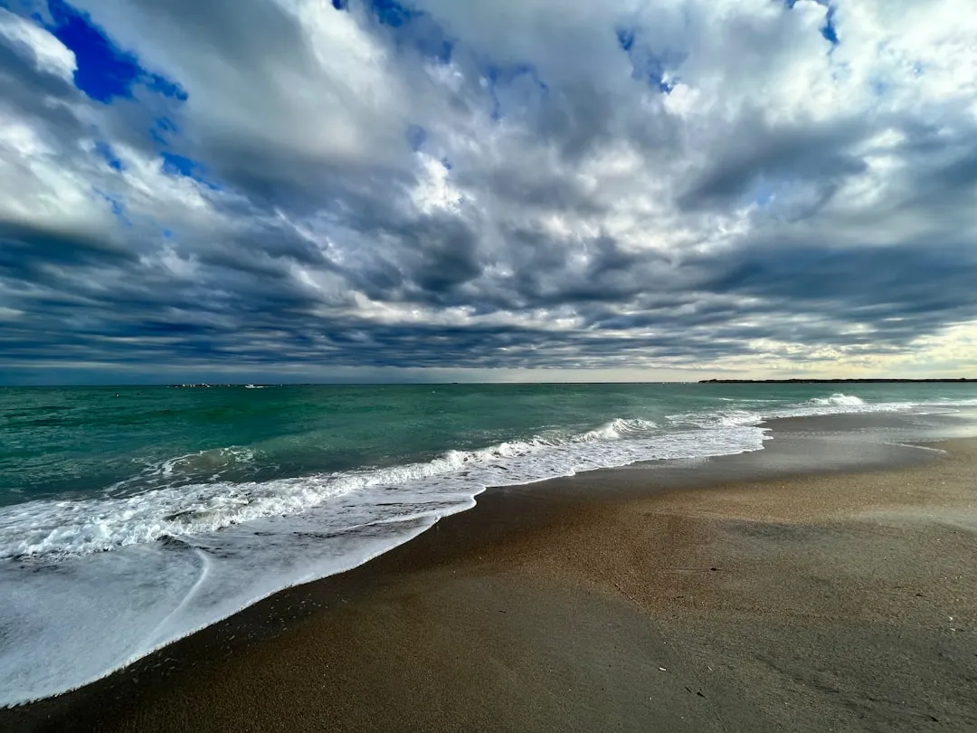
Route Overview:This route from Wrightsville Beach to Oak Island is a delightful coastal journey, perfect for both experienced and novice boaters. Spanning approximately 20 nautical miles, it offers beautiful scenery, rich marine life, and several opportunities for shelter and exploration. This is a well-suited adventure for trailers and day cruisers due to its moderate lengths between points of interest, while staying close to shorelines provides ample safety measures.
Departure: Wrightsville Beach, NCBefore setting sail, ensure your boat is stocked with necessary safety equipment: life jackets, flares, first aid kits, and a reliable VHF radio. Wrightsville Beach boasts excellent amenities; consider enjoying the local charm of the area, including sandy beaches and waterfront dining.
Leg 1: Wrightsville Beach to Motts ChannelDistance: Approximately 2 NMAs you leave Wrightsville Beach, navigate through the local waterways via Motts Channel. Be mindful of local traffic and recreational watercraft, particularly during peak hours. The channel is well-marked with buoys; keep your chart accessible and your navigational app (like savvy navvy) open for real-time navigation and hazards management.
Shelter Point: Motts ChannelIf conditions become less favorable, Motts Channel provides decent shelter with a calm anchorage behind Wrightsville Beach. The channel is influenced by tidal currents, making it wise to plan your departure to mitigate strong flow.
Leg 2: Motts Channel to Figure Eight IslandDistance: Approximately 3 NMThis leg moves you closer to Figure Eight Island, a beautiful yet private area perfect for a leisurely stop. With untouched beaches and serene waters, it’s a fantastic spot for a short break. Take a moment to explore the shoreline, keeping an eye out for dolphins that frequent these waters.
Warning: Be aware of shallow areas around Figure Eight Island. Stick to the marked channels to avoid grounding.
Leg 3: Figure Eight Island to Wrightsville SoundDistance: Approximately 3 NMHead southwest through Wrightsville Sound. Be cautious here—the sound can experience strong currents influenced by tidal action. The navigation aids are clearly visible, including buoys and markings guiding you safely through.
Shelter Point: Wrightsville SoundPicnic spots and nautical charm abound here, offering an excellent place for a brief respite if weather conditions start to alter.
Leg 4: Wrightsville Sound to SouthportDistance: Approximately 7 NMLeaving Wrightsville Sound, you’ll continue toward Southport, once a small fishing village but now a quaint town filled with history and charm. The approach is scenic, featuring views of the Cape Fear River on the starboard side. Keep an eye out for the intermittent ferry crossing.
Notable Landmark: SouthportArriving at Southport, moor at the local marina, where several amenities await: restaurants, shops, and historical landmarks. Make time to stretch your legs and take a stroll along the charming harbor walk.
Leg 5: Southport to Oak IslandDistance: Approximately 5 NMThe final stretch leads to Oak Island. Navigation here is straightforward, following the buoyed channel and keeping close to the shore. Be vigilant of changing weather patterns; sudden squalls can pop up.
Final Destination: Oak IslandAs you arrive at Oak Island, you’ll notice the sprawling beaches and opportunities for beachcombing or simply enjoying a peaceful day surrounded by nature.
Navigational Aids and Regulations:
Safety Considerations:Above all else, safety should guide your adventure. Ensure proper weather checks before departure and adapt your plans accordingly. Keep additional life jackets on hand for any guests aboard and remind everyone about safety and emergency procedures.
Conclusion:This route offers a splendid mix of beauty and safety. It’s suitable for family outings or a fun day with friends, providing various shelter options and engaging stops while remaining adaptable to weather conditions. Enjoy your voyage from Wrightsville Beach to Oak Island, making unforgettable memories along the coastal waters of North Carolina!