
Pilotage Plan from Westport, Massachusetts to Providence, Rhode Island
Starting Point: Westport, MA Coordinates: Longitude -71.053333, Latitude 41.543667
Ending Point: Providence, RI Coordinates: Longitude -71.4023, Latitude 41.8175
Embarking on this voyage from Westport, MA, to Providence, RI offers a delightful mix of scenic waters, harbors, and potential stops that can enrich your experience while prioritizing safety on the water. This route is particularly suitable for cruising sailboats and powerboats with moderate drafts, as the waters you will navigate are well-marked and familiar to local mariners.
As you set sail from Westport, ensure your vessel is prepared for the journey ahead. The Westport River provides a well-sheltered harbor to make sure everything from navigational charts to safety equipment is in order. Before heading out, it’s wise to check the local weather conditions.
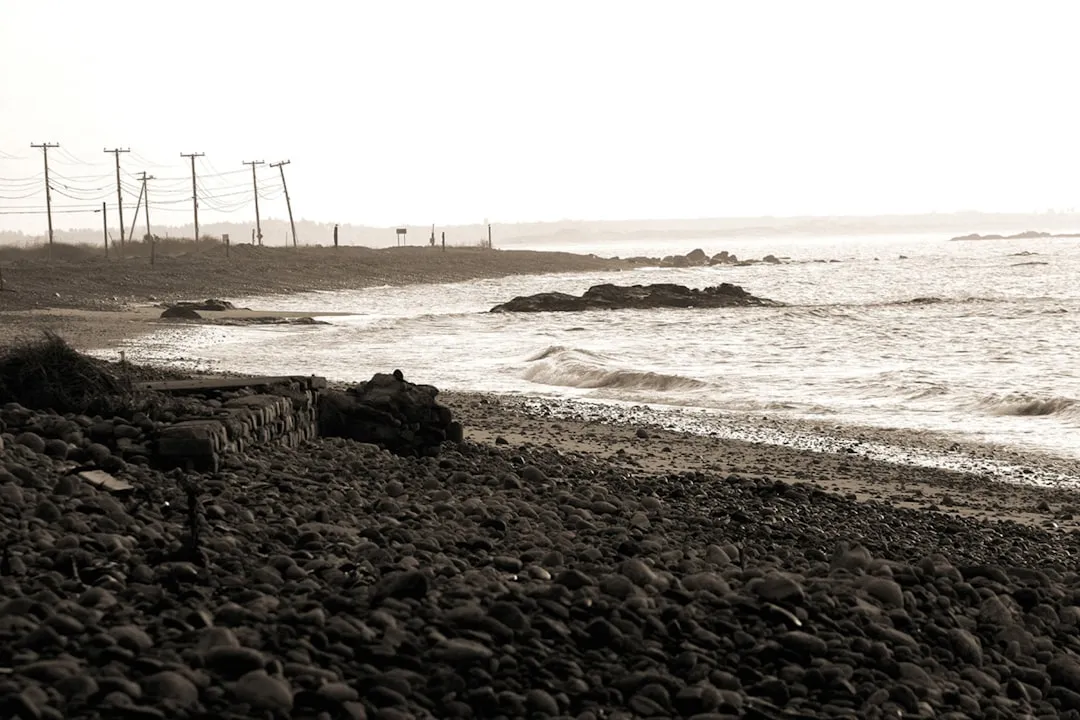
Hazards: Watch for shifting currents in the Westport River, particularly around the inlet where it meets Buzzards Bay. The entrance can be tricky in certain conditions so approach with caution.
Upon exiting Westport River, you will enter Buzzards Bay. Steer clear of the prominent shoals on the northern side where the depth can drop sharply. A notable landmark in this area is Cuttyhunk Island, which can be a potential stop for an overnight anchorage if time allows. The natural beauty of the island and its history make it a rewarding detour.
As you navigate eastwards, keep an eye out for the Buzzards Bay Light and Sedge Island. These are useful navigational aids to keep you on course toward the Sakonnet Point Lighthouse, which marks the entry into Sakonnet River.
Shelters: Should poor weather arise, consider diverting to Westport Harbor or the tranquil Sakonnet Harbor, where you can drop anchor and wait out the conditions safely.
As you make your way into Mount Hope Bay, maintain a direct course toward the mouth of the bay, keeping near the center channel to avoid shallow waters. It's also wise to be aware of local vessel traffic and fishing boats in the area, as this bay can be busy.
Local Attractions: Here, you can spot the iconic Mount Hope Bridge. If time permits and conditions are favorable, you might consider taking a brief stop in the historic town of Bristol, just off the bay, where quaint shops and charming eateries await.
After enjoying the sights around Mount Hope Bay, continue northwest toward Providence. The Providence River is wide, but be attentive to the currents, especially near bridges such as the I-195 Bridge and the Washington Bridge. These areas can experience swift flows, so a cautious approach is necessary.
Navigational Aids: Follow the buoys carefully as the river narrows, and keep a lookout for navigational markers indicating mooring and anchoring zones. It's also essential to remain compliant with local regulations, including speed limits in certain stretches of the river as designated by local maritime authorities.
As you enter the heart of Providence, you'll be greeted by a stunning cityscape. The waterfront area has several marinas where you can dock and spend some time exploring. The city is rich in culture and history, with attractions like WaterFire and the Rhode Island School of Design Museum.
Before concluding your journey, ensure to check the latest local weather forecasts and always have a contingency plan. Always keep safety equipment aboard in working order, including life jackets, flares, and a fully charged radio.
For seamless navigation throughout your trip, employing technology can enhance your cruising experience. For this route, I recommend the following apps:
This pilotage plan from Westport to Providence allows experienced boaters to enjoy the beautiful New England coastline while maintaining safety at the forefront. Happy cruising and safe travels on your boating adventure!