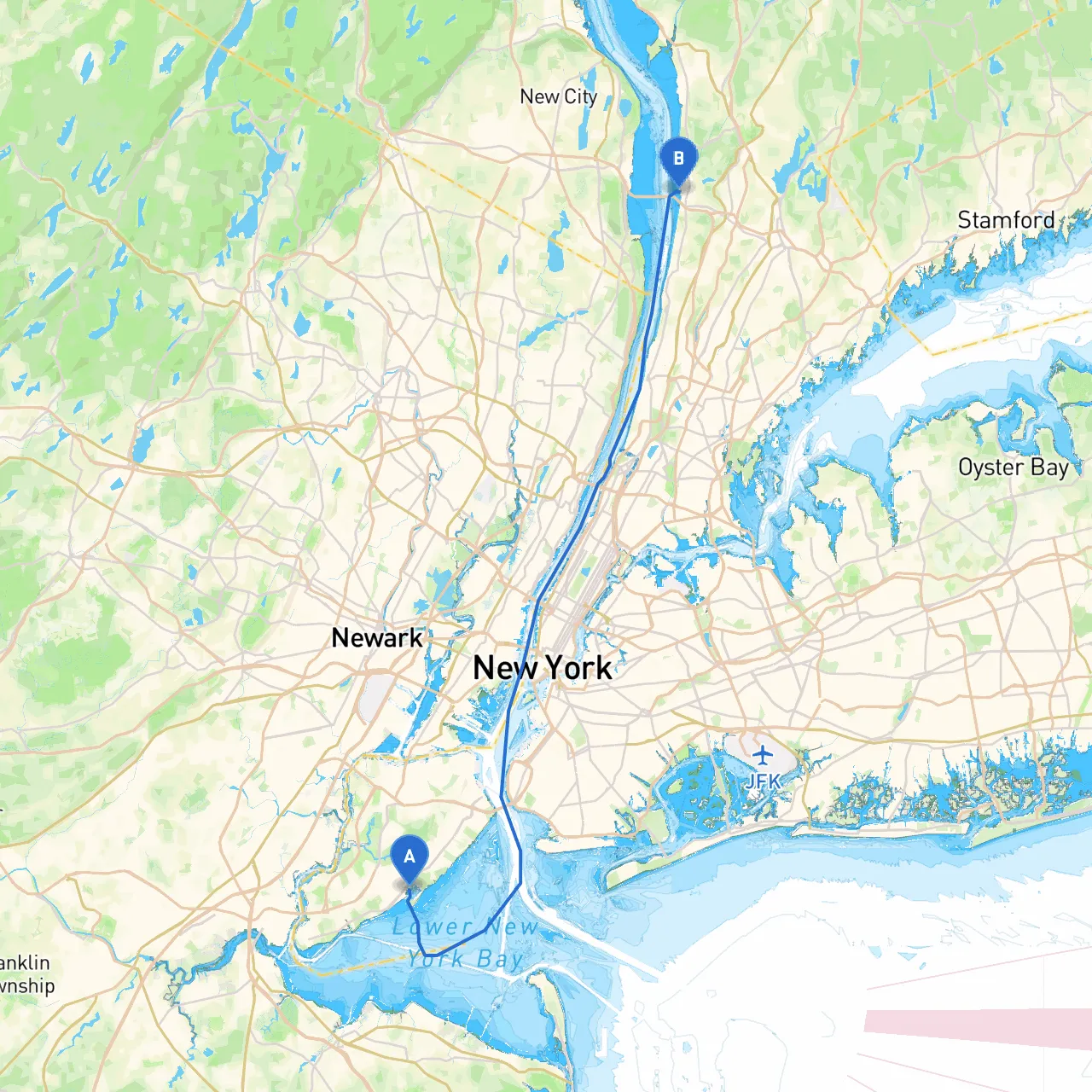
Overview:This route from Staten Island to Tarrytown is not only scenic but also packed with navigational interest and opportunities for safe haven along the way. Geared towards recreational sailors and experienced boater enthusiasts, it invites those who appreciate breathtaking views and a sense of adventure, while ensuring safety remains a top priority.
Departure Point: Staten Island, NYStart your journey from Great Kills Harbor, an ideal launch point on Staten Island recognized for its protective coastline and amenities. Before heading out, ensure your vessel is equipped with proper navigation tools, safety equipment (life vests, fire extinguishers, etc.), and has been thoroughly checked for mechanical reliability.
Notable Hazards:The Arthur Kill and the Upper New York Bay present potential shipping traffic hazards, so maintain a keen lookout for ferries and cargo vessels. Also, shallow areas exist near Staten Island, especially toward the southern parts. Review local nautical charts before departure.
Route Overview:1. Great Kills Harbor to the Arthur Kill - Head northbound out of Great Kills Harbor. Follow your way on the western side of Staten Island to avoid any shipping lanes. As you approach the Arthur Kill, navigate carefully; this waterway can have strong currents due to tidal influences.
2. Traverse the Arthur Kill - This section can be busy with both commercial and recreational vessels. Navigate with caution, keeping a close eye on navigation markers. Notable aids include the “Eltingville Marsh” light and the “New Jersey Turnpike” bridge, which can serve as reference points.
3. Entering Newark Bay - As you head into Newark Bay, be aware of the shipping lane regulations. There may be vessel restrictions in certain areas, so keep to designated channels.
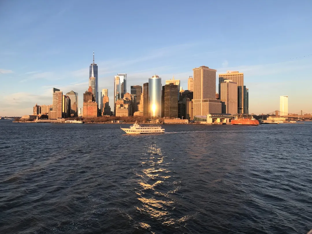
4. Around the Port Newark/Elizabeth - Transit through the vibrant boat traffic of Port Newark. The expansive views of the skyline on the opposite shore provide tremendous photo opportunities if you can safely stop for a moment.
5. Navigating up to the Hudson River - Exit Newark Bay and enter the Hudson River, where you’ll have clearer sailing. The Hudson provides beautiful vistas as it winds northward.
Shelter & Points of Interest along the Route:
Continuing North on the Hudson:As you move further north, prepare for a change of scenery as you navigate through the Palisades. This natural beauty becomes a significant highlight of your trip, with the steep cliffs on either side of the river. Watch for any recreational boaters, kayakers, or paddle-boarders, especially in more vulnerable narrow areas.
Approaching Tarrytown:As you approach Tarrytown, keep an eye out for the Tappan Zee Bridge (or Mario M. Cuomo Bridge). As a notable landmark, navigating underneath its spans is a thrill. Once in Tarrytown, familiarize yourself with the local harbor regulations—there are plenty of beautiful parks and sites to explore, providing a fitting culmination to your trip.
Advisory and Safety Recommendations:This journey is particularly ideal for skilled boaters who can navigate mixed-use waters (commercial and recreational). Always check local Marine Weather Reports before heading out, and remain especially vigilant for sudden changes in weather, as the NYC area can be unpredictable.
In closing, this journey promises not just safety and navigational assurance, but it provides the scenic backdrop and excitement that any boater would relish. Enjoy your time on the water and always return with tales of your adventures!