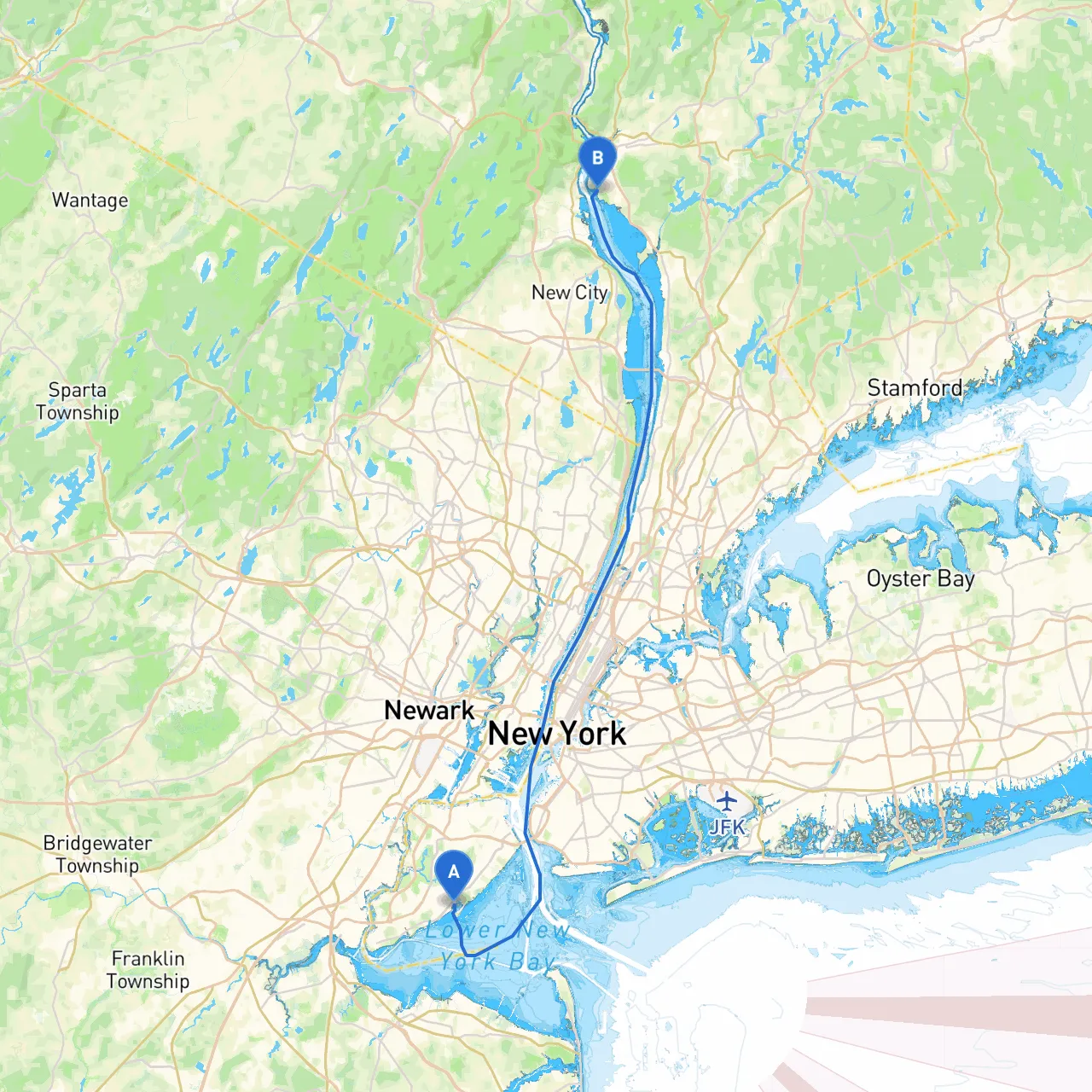
Pilotage Plan from Staten Island, NY to Montrose, NY
Starting Point: Staten Island, New York (Coordinates: -74.1398, 40.5428)
Your adventure begins at the lush and vibrant Staten Island, known for its beautiful parks and waterfront views. Before you set out, it's wise to check your boat’s systems, ensure you have all necessary safety equipment, and monitor the weather forecast for the day.
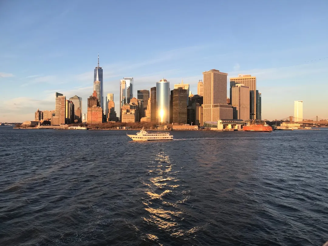
As you depart, the New York Harbor awaits, bustling with activity. Navigational aids such as buoys and lighthouses in this busy area are crucial for safe passage. The Statue of Liberty, off to your starboard, offers a perfect spot for some cruising photos before you enter the open waters.
Route Overview:
Leave Staten Island through the Arthur Kill, heading north. This channel can get busy, so keep a sharp lookout for barges and ferries. It is vital to monitor your channels, staying within marked areas to avoid shallows.
Key Hazards to Watch For:
Shelter Points:
Points of Interest:
Navigational Aids and Regulations:
Keep an eye out for channel markers, especially when approaching the Tappan Zee Bridge. The bridge area features significant navigational aids in the form of lit buoys and day markers—pay close attention to associated charts.
Final Destination: Montrose, New York (Coordinates: -73.9530, 41.2460)
As you reach Montrose, the landscape shifts to a more tranquil setting. The Hudson River provides stunning views, particularly at sunset; it’s a perfect backdrop for your arrival. Montrose is an excellent area to explore with local restaurants and scenic parks along the river.
In conclusion, this route is ideal for confident boaters with intermediate experience. While it certainly offers sights and attractions along the way, the primary focus remains on ensuring a safe and enjoyable journey.
For navigation, I recommend apps such as Navionics, US Powerboating, and Savvy Navvy, which will help you track your course, tides, and hazards effectively.
Make your preparations, follow your plan, and enjoy this beautiful stretch of the New York waterways safely!