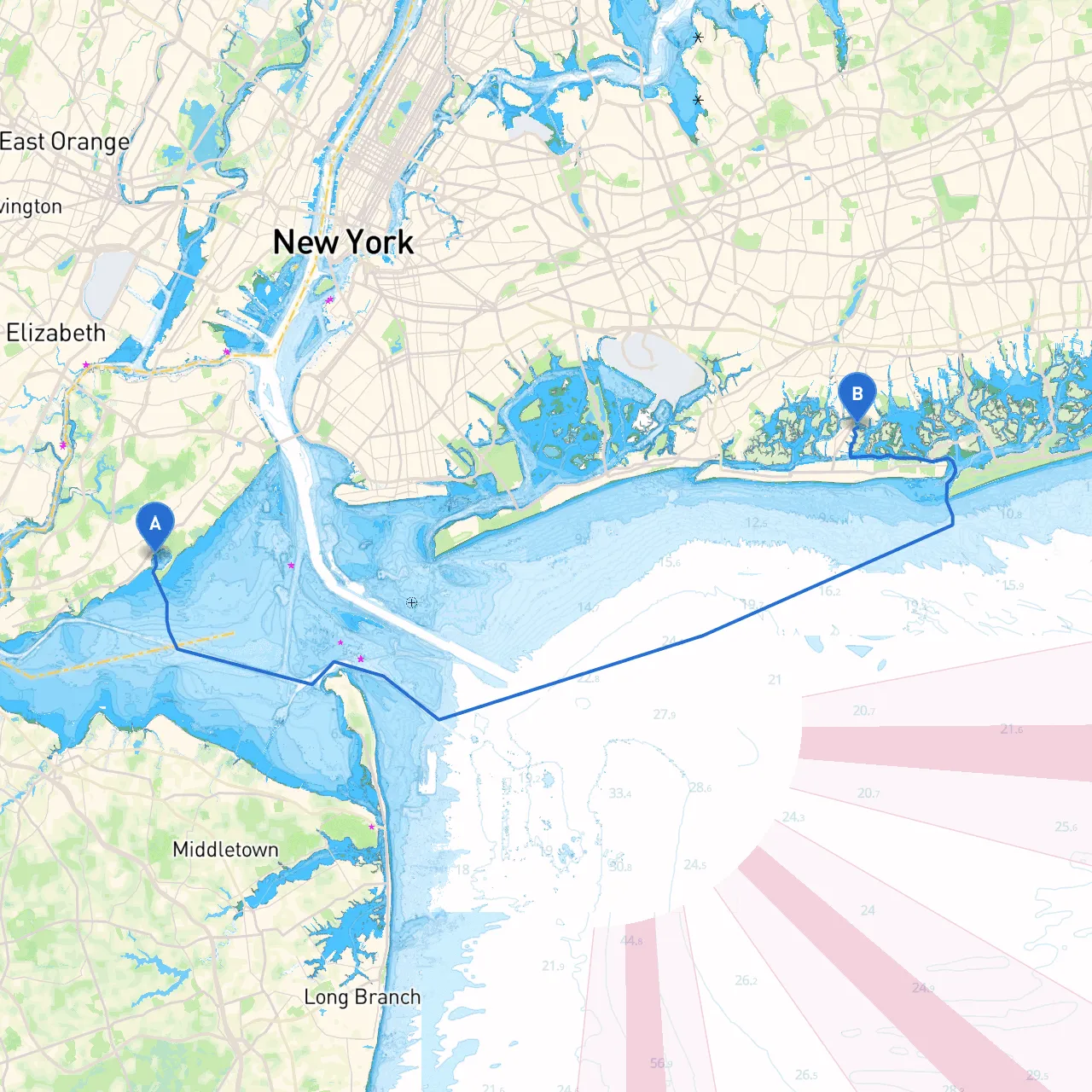
Pilotage Plan: Staten Island, NY to Island Park, NY
Embarking on a boating excursion from Staten Island to Island Park offers a captivating blend of beautiful scenery and notable landmarks, all while providing a straightforward route ideal for boaters of varying skill levels. This trip, spanning approximately 20 nautical miles, is perfect for experienced sailors seeking a leisurely day cruise or novice boaters keen on honing their navigational skills. Prioritizing safety, the following guide will navigate you through landmarks, potential hazards, and essential navigational aids ensuring a pleasant maritime experience.
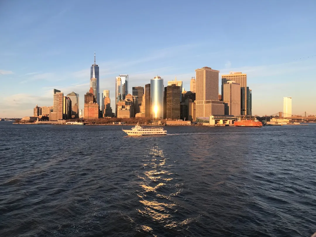
Starting Point: Staten Island, NY Coordinates: (Lat: 40.542833, Long: -74.139833) Begin your journey at the northwestern shore of Staten Island. Before setting off, ensure your vessel is equipped with the necessary safety gear, including life jackets, flares, and a well-stocked first aid kit. A thorough weather forecast check will also help avoid unfavorable conditions.
Destination: Island Park, NY Coordinates: (Lat: 40.612667, Long: -73.639833) The journey takes you through the bustling waters of New York Harbor, navigating towards the calm, scenic shores of Island Park.
1. Arthur Kill Waterway: As you depart Staten Island, the first significant waterway is Arthur Kill. It is bordered by Staten Island and New Jersey, offering a picturesque backdrop. Boaters should be cautious of commercial traffic here, particularly in the early morning and late afternoon.
2. Freshkills Park: A notable landmark as you pass by the eastern edge of Staten Island, this vast park is a testament to ecological restoration and provides a beautiful view of serene landscapes.
3. Goose Creek: Just before entering Raritan Bay, Goose Creek is a natural harbor where boaters can seek temporary refuge if the weather begins to deteriorate. This area is quieter and offers a peaceful moment to assess conditions.
4. Raritan Bay: Once in Raritan Bay, keep an eye out for the famous Sandy Hook Bay to the north. It’s a popular area for recreational boaters, and its tranquil waters are ideal for anchoring if you want to enjoy the scenery without heading straight to your destination.
5. Morris Canal: This historic canal area features remnants of its industrial past and is an excellent spot to explore the convergence of nature and history. If time permits, this could be a memorable stop.
As you near Island Park, navigate towards the Barnum Island area. This is an excellent final approach where you can absorb the serene views leading into Island Park. Upon arrival, the local marinas provide docking facilities, and the nearby areas cater to boaters with eateries and recreational spots, perfect for a delightful post-cruise meal or exploration.
To enhance your navigational efficiency and safety, consider using apps designed specifically for boaters:
This pilotage plan ensures your trip from Staten Island to Island Park is not only safe but also enjoyable. With its beautiful scenery and essential landmarks, it is a route that caters to those eager to enjoy the waterways while navigating with confidence. Happy boating!