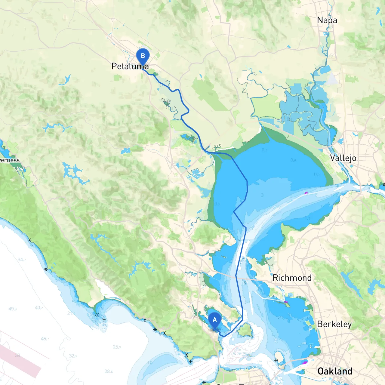
Overview:This journey from Sausalito to Petaluma offers a stunning mix of scenic views and the thrill of navigating the waters of San Francisco Bay and the Petaluma River. Ideal for sailors and powerboaters alike, this trip suits those looking for a relatively calm day on the water, with ample anchorages and points of interest along the way. Safety will be emphasized throughout your passage, ensuring a pleasurable experience on the waters.
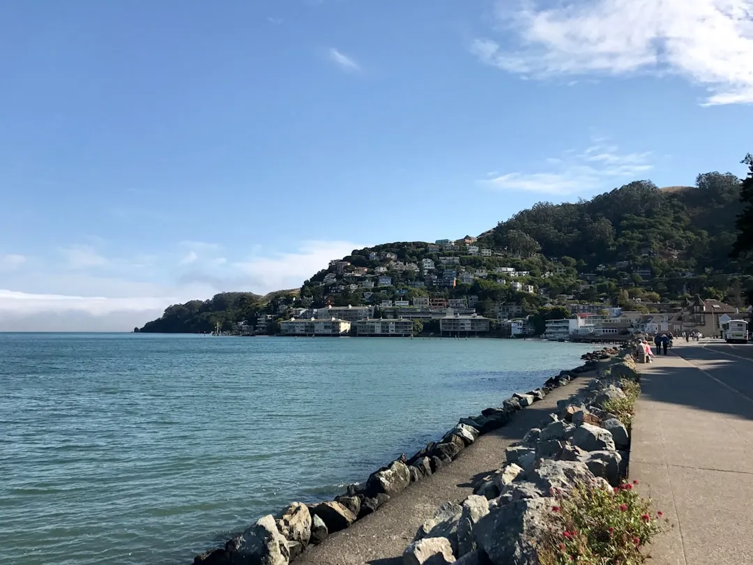
Departure: Sausalito, CAStarting from Sausalito, a charming waterfront town located just north of San Francisco, you will enjoy breathtaking views of the Golden Gate Bridge and the San Francisco skyline. Before you set off, check the weather and tides, as this will affect your passage.
Section 1: Sausalito to Angel IslandAs you navigate along the bay, you'll want to keep the shoreline of Marin County to port. After approximately 1.5 nautical miles, you will reach Angel Island.
Section 2: Angel Island to Rich PassageLeaving Angel Island, head east along the northern side towards Rich Passage, which is approximately 2 nautical miles away.
If weather conditions are unfavorable, consider making an earlier stop at one of several sheltered spots in the Richmond Bridge area.
Section 3: Rich Passage to San Pablo BayFrom Rich Passage, your course will lead you into San Pablo Bay. The journey will involve navigating through some shallow areas, so careful attention to your draft is necessary, especially during low tide.
Section 4: San Pablo Bay to Petaluma RiverAs you exit San Pablo Bay, prepare to take the Petaluma Channel, entering into the Petaluma River. It is vital to pay attention to the markers that guide you safely into the river, as this area can sometimes be quite shallow and tricky if you stray off course.
Arrival: Petaluma, CAUpon arriving in Petaluma, you’ll find a charming town filled with history, craft breweries, and local shops. Before docking, make sure to check for any local marina rules or requirements.
This route from Sausalito to Petaluma not only promotes safety but provides ample opportunities for exploration and enjoyment of the scenic Northern California waterways, making it an ideal day trip for boaters looking to connect with nature and local culture. Happy boating!