Trip Overview:This pilotage plan outlines a round trip from Sanford, FL, utilizing the inland waterways while ensuring a safe and enjoyable journey. This route is ideal for recreational boaters, families, and enthusiasts looking to explore the local natural beauty while keeping safety at the forefront.
Route Details:
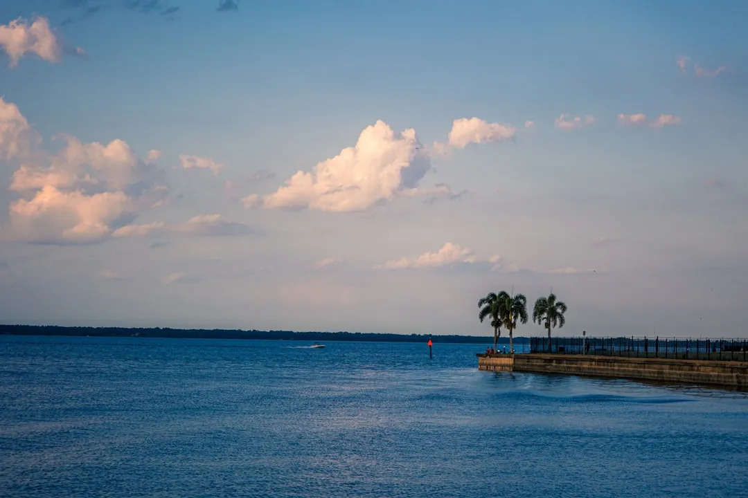
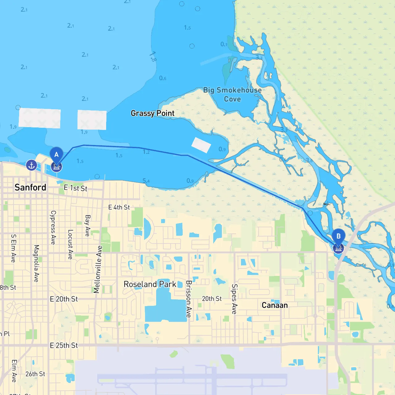
Start Point: Sanford, FL (Coordinates: -81.2633, 28.8150) Your journey begins along the picturesque banks of the St. Johns River. Sanford is known for its charming waterfront, making it an excellent launching point. Ensure you check the weather and tide conditions before departing, as currents can be strong in certain areas.
1. Initial Departure: - Navigating Out: As you head out, follow markers along the river which are vital for ensuring you stay within the deep-water channels. Be mindful of local wildlife and vessels, especially during early morning or late evening passages.
2. Points of Interest Along the Route: - Lake Monroe: A wonderful expanse of water just a few miles from Sanford boasts great fishing spots and picturesque views. Powers of entry are available here if you wish to stop for a picnic or enjoy some swimming with family. - DeLand: Accessible via the Spring Garden Lake, DeLand's vibrant historic district offers shops, dining, and a quick taste of local culture. It’s a perfect stop to fuel up your boat and grab a bite.
3. Shelter Opportunities: - Blue Springs State Park: This park provides a peaceful refuge with an excellent boating area. If the weather turns stormy, the park's shoreline offers adequate shelter, and its calming surroundings can make for a lovely stay. - Horseshoe Island: Known for its scenic beauty, this area also provides a good anchorage in adverse weather, given its protection from winds.
Essential Navigational Aids and Considerations:
Return Journey:
Ending Point: Sanford, FL (Coordinates: -81.2123, 28.8021) Retracing your steps, you’ll note differences in current and wind conditions that might affect your navigation. Always double-check the navigation markers as you approach the Sanford area.
Final Thoughts:This route along the St. Johns River provides both beauty and ease for recreational boaters. Known for being mostly protected waters, coupled with the scenic views and opportunities for stops, it’s suitable for families, novice boaters, and those looking to relax in nature. Remember to check your boat’s equipment, monitor real-time weather via boating apps like Savvy Navvy, and keep a lookout for changing conditions. Enjoy a safe and fulfilling day on the water!