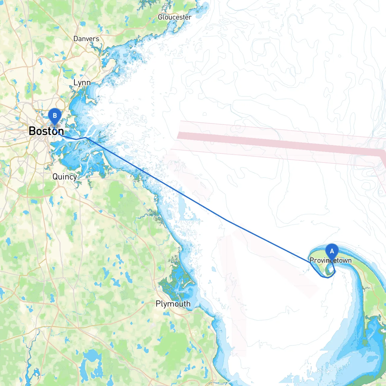
This journey from Provincetown, located at latitude 42.0525 and longitude -70.1745, to East Boston (latitude 42.3636, longitude -71.0338) takes you along the picturesque Cape Cod coastline, offering an exciting blend of natural beauty, cultural points of interest, and a variety of navigational challenges. Boaters will find this route particularly suitable for those with intermediate to advanced sailing skills, as the waters can be busy, especially closer to Boston, and will often demand close attention to navigation.
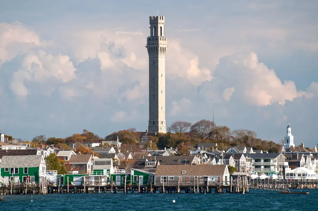
1. Provincetown Harbor to Race Point - Distance: Approximately 1-2 nautical miles - Hazards: Beware of shallow waters and shifting sands as you depart Provincetown. Maintaining a careful lookout and checking local charts is crucial. - Points of Interest: Race Point Lighthouse is a notable landmark. We recommend a quick visit if the conditions allow. The scenic view and the sound of waves makes it a perfect first stop on your journey.
2. Race Point to Cape Cod Bay - Distance: Roughly 7 nautical miles - Navigational Aids: Keep an eye out for the Race Point Light and the Cape Cod Bay buoys marking the entrance. - Shelter Options: In bad weather, Wellfleet Harbor provides a safe haven. Observe the entrance, as it can be narrow and busy during peak times.
3. Cape Cod Bay to Lynn Harbor - Distance: Approximately 20 nautical miles - Navigation Considerations: Watch for tidal currents, especially as you head toward Monomoy Island. The Cape Cod Canal might tempt you, but it adds unnecessary distance for this route. Stick to the outer coast for a more direct journey. - Points of Interest: Consider a brief excursion into the charming town of Duxbury for fuel, food, or simply to stretch your legs.
4. Lynn Harbor to Chelsea Creek - Distance: 10 nautical miles - Observations: Major shipping channels will come into play as you near Boston, so pay attention to vessel traffic patterns and shipping lanes. The Boston Harbor channel contains numerous navigational aids, including buoys and lighthouses to guide you. - Shelter Options: If conditions worsen, Chelsea Creek offers decent shelter from winds.
5. Chelsea Creek to East Boston - Distance: 5 nautical miles - Final Navigation Aids: As you close in on East Boston, you will need to navigate around several bridges. Make sure to check for their opening schedules to avoid delays.
This route from Provincetown to East Boston artfully blends the thrill of open-water navigation with the comforting options of shelter along the way. By prioritizing safety while still maximizing the experience of coastal exploration, you're in for an exhilarating adventure that reflects the finest attributes of Massachusetts' maritime charm.