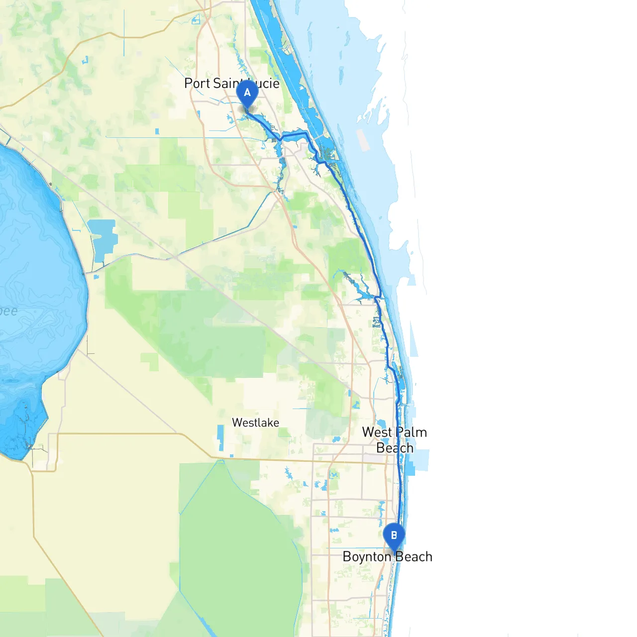
This coastal journey from Port Saint Lucie to Boynton Beach offers a delightful mix of scenic views, navigational challenges, and opportunities to explore local points of interest. Ideal for experienced boaters, this route features a protected environment along the Intracoastal Waterway (ICW), making it a great choice for day cruising or weekend outings.
The trip begins in Port Saint Lucie and heads south along the ICW, where the waterway is well-marked with navigational aids, including buoys and channel markers. This route capitalizes on the safe and picturesque route while avoiding the open ocean, making it suitable for boaters who prefer calmer waters.
1. Departure from Port Saint Lucie - Your departure point is the Port Saint Lucie Inlet. Make sure to check the tide schedules before heading out. The inlet can have strong currents during low tide, so timing your departure here is crucial.
2. Navigating to the Intracoastal Waterway - After exiting the inlet, turn southbound towards the ICW. Keep a close watch for marker
- Stay alert for small craft and fishing boats as you make your way along the waterway.
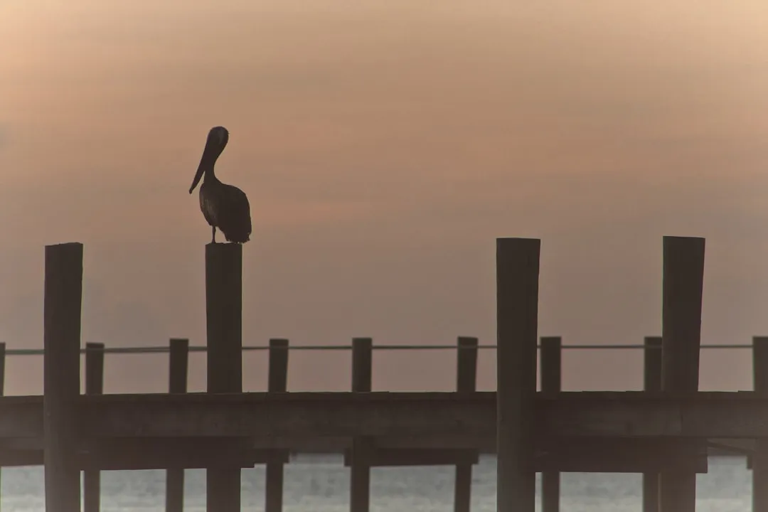
3. Landmarks and Points of Interest - St. Lucie River: As you approach the St. Lucie River intersection, you can consider a stop at the local waterfront parks that offer picnic areas and paths for walking. - Jupiter Island: A slight detour can take you around Jupiter Island, offering stunning views of luxury homes and pristine beaches. - Manatee Pocket: Just past the town of Port Salerno, this is a good place to drop anchor for lunch or a swim. Look out for manatees during the warmer months.
4. Shelter and Safe Harbor - If weather conditions begin to turn unfavorable, the several marinas and anchorages along the way provide excellent shelter. Lighthouse Point Marina and Jensen Beach are notable options with full facilities. - Bays: You can take refuge in places like Peck Lake Park, where you can find calm waters and beautiful nature trails.
5. Important Navigational Aids - Pay attention to navigational markers throughout your route. South of the Port Salerno area, you will see a series of green and red buoys marking the channel leading down to Boynton Beach. - Watch for the Boynton Inlet marker as you get closer to your destination. Ensure to use caution when traveling through this inlet as it can have shifting currents, particularly around the entrance.
6. Regulations and Restrictions - Be mindful of speed limits, especially in areas marked for manatee zones. The ICW has a speed limit of 25 knots unless otherwise posted. - Check local regulations for any areas designated for environmental protection; many wildlife sanctuaries or parks along this route ask boaters to maintain a safe distance and observe quiet zones.
This trip is perfect for recreational boaters who appreciate a blend of safety, scenic beauty, and the possibility of exploration. As you navigate this route, consider utilizing boating apps such as savvy navvy, Navionics, and US Coast Guard's Local Notices to Mariners for real-time updates and navigational assistance.
Prepare well for your journey, and you’ll create wonderful memories along the stunning waterways of Florida’s east coast! Safe travels!