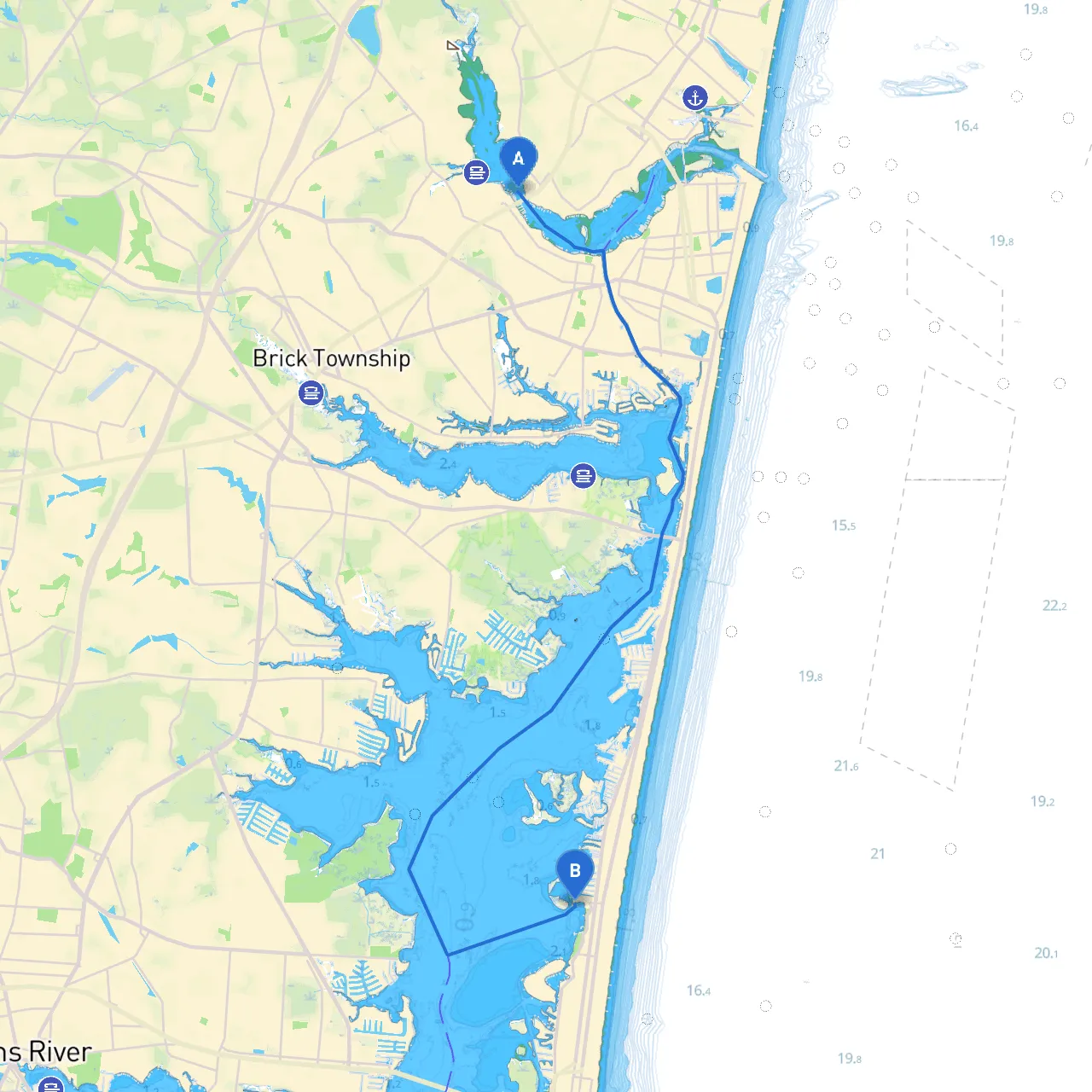
This route from Point Pleasant, New Jersey to Lavallette, NJ is an excellent choice for both novice and seasoned boaters alike. It combines the serene beauty of the New Jersey coast with the thrill of navigating local waters. The trip spans roughly 8 nautical miles, skirting through some scenic bays and offering various stops for enjoyment while emphasizing safety and navigational awareness.
You’ll depart from Point Pleasant located at longitude -74.0865 and latitude 40.099. Before leaving, check your vessel's readiness, ensuring all safety equipment is aboard and fully functional. Remember to monitor the local weather conditions closely, as they can change rapidly along the coast.
Notable local points of interest include the Point Pleasant Boardwalk, famous for its attractions, amusements, and seafood eateries, which is an excellent last stop before your journey begins.
1. Initial Voyage Through the Manasquan Inlet As you begin your trip, navigate the Manasquan Inlet. Look for the navigational aids, notably the Manasquan Inlet Light (Fl W 3s), which should be visible as you approach the mouth of the Inlet. Be cautious of the tidal currents, particularly during strong tidal changes, as they can affect your navigation.
2. Cruising Along the Ocean County Shoreline After exiting the inlet, you will head southeast, hugging the coastline. Keep an eye out for local fishing boats and ensure you maintain a safe distance as they often operate in these waters too. The stretch of shoreline offers beautiful sights, including sandy beaches and occasional dolphins, which can be a delightful addition to your cruise.
3. Sheltering Options: Barnegat Bay and Island Beach State Park If the weather takes a turn for the worse, Barnegat Bay can be a strategic refuge. Its vast expanse is ideal for finding sheltered waters away from rough seas. The southern shore of Island Beach State Park is another good option, where you can take a break and enjoy the natural beauty.
4. Approaching Lavallette The closer you get to Lavallette, the more you’ll see residential areas interspersed with small parks and beach access points. As you approach, watch for buoy markers signaling the navigation channel, and be aware of any local speed restrictions as you enter the recreational zone.
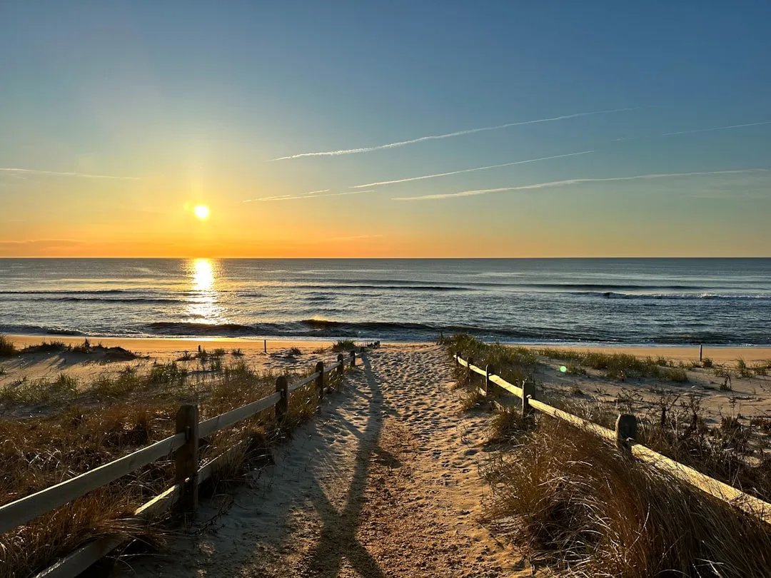
As you arrive in Lavallette, coordinates -74.074, 39.9776666667, take a moment to soak in the environment. The community is known for its charming beach towns and friendly atmosphere. Points of interest here include first-rate beaches, excellent seafood restaurants, and small shops lining the boardwalk.
This route from Point Pleasant to Lavallette is not just about the destination, but also the journey. With its blend of picturesque scenery, safety consciousness, and opportunities for exploration, it is particularly suitable for recreational and day boaters looking for a memorable outing. Always prioritize safety, and ensure that you're prepared for any changes in weather or conditions before venturing out. Happy boating!