
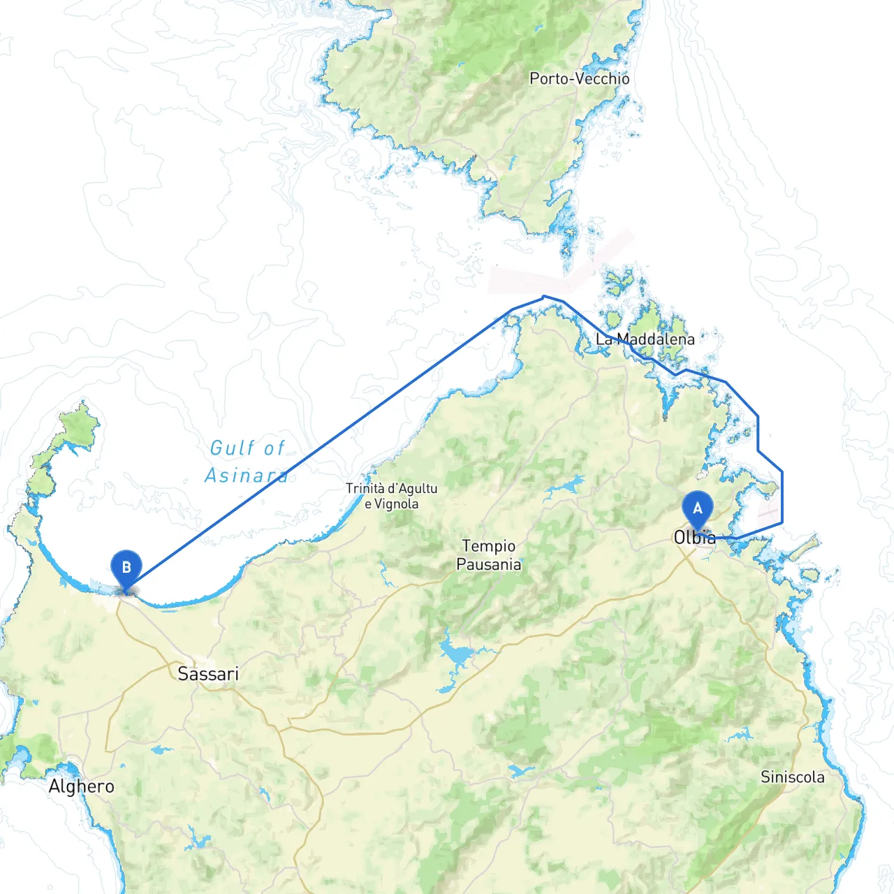
Setting sail from Olbia, a vibrant coastal city featuring stunning beaches and crystal-clear waters, to Puerto Torres offers a blend of breathtaking scenery, rich cultural experiences, and dynamic marine activity. This route is recommended for experienced boaters and provides a delightful journey along the enchanting northern Sardinian coastline.
1. Golfo Aranci: This picturesque bay is an excellent spot for a leisurely stop, boasting rocky coves and hidden beaches. The clear waters make it perfect for swimming and snorkeling, where you can explore the marine life of the Mediterranean.
2. Isola di Tavolara: A stunning island landmark that rises majestically from the sea. This area is great for hiking, with trails leading to panoramic views of the surrounding islands. The marina at the island’s northern side provides a safe haven in case of inclement weather.
3. Capo Coda Cavallo: This beautiful headland is recognized for its striking cliffs and serene beaches. It's an ideal location for a quick pause, where you can enjoy the natural beauty of the Mediterranean landscape.
4. Bays of Stintino: Known for its turquoise waters and sandy beaches, this area offers shelter for an overnight stop if conditions require. The scenic Punta de su Torrione provides a stunning backdrop and is perfect for taking memorable photographs.
As you set sail from Olbia, begin your journey heading northwest towards Golfo Aranci, keeping a watchful eye on local fishing boats often found in these waters. Ensure your charts are updated, and adjust your course to avoid shallow areas as you navigate through this bustling maritime zone.
Once you pass Golfo Aranci, steer toward Isola di Tavolara. This area is well-marked with buoys and navigational aids, but always check updated tide and current tables to remain in safe navigable waters.
Continuing on your course, you’ll come across Capo Coda Cavallo—take note of the spectacular cliffs as you make your way around. If weather conditions change, consider anchoring in nearby bays to ride out any potential storms.
Following this, you will enter the waters near Stintino. This region features several marinas and safe harbors, with plenty of services for refueling and provisions. You can also take the opportunity for leisure activities here, such as exploring the nearby beaches.
Upon reaching Porto Torres, you'll find a bustling port city with excellent facilities for boaters. Be mindful of ferry schedules, as traffic can be heavy, particularly during tourist season. Follow local traffic rules and heed any signs from the port authorities.
Additionally, familiarize yourself with local maritime emergency contact numbers and have a strong plan for any anticipated changes in the weather or unforeseen circumstances.
This cruising plan promises a reflective journey along one of Sardinia's most beautiful coastlines. By prioritizing safety while allowing for moments of leisure and exploration, this route showcases the best of both adventure and tranquility—perfect for those looking to enjoy the freedom of the open sea.