
Pilotage Plan: New Smyrna Beach to Titusville, Florida
OverviewThis route from New Smyrna Beach to Titusville is an excellent choice for seasoned recreational boaters looking for a scenic journey while maintaining safety as a priority. The route is approximately 20 nautical miles long, navigable through the scenic Indian River and part of the Intracoastal Waterway, providing various points of interest and safe havens should any inclement weather arise. The waterway is suitable for cruisers, sailboats, and power boats, and while close attention to navigation aids is necessary, the experience is rewarding.
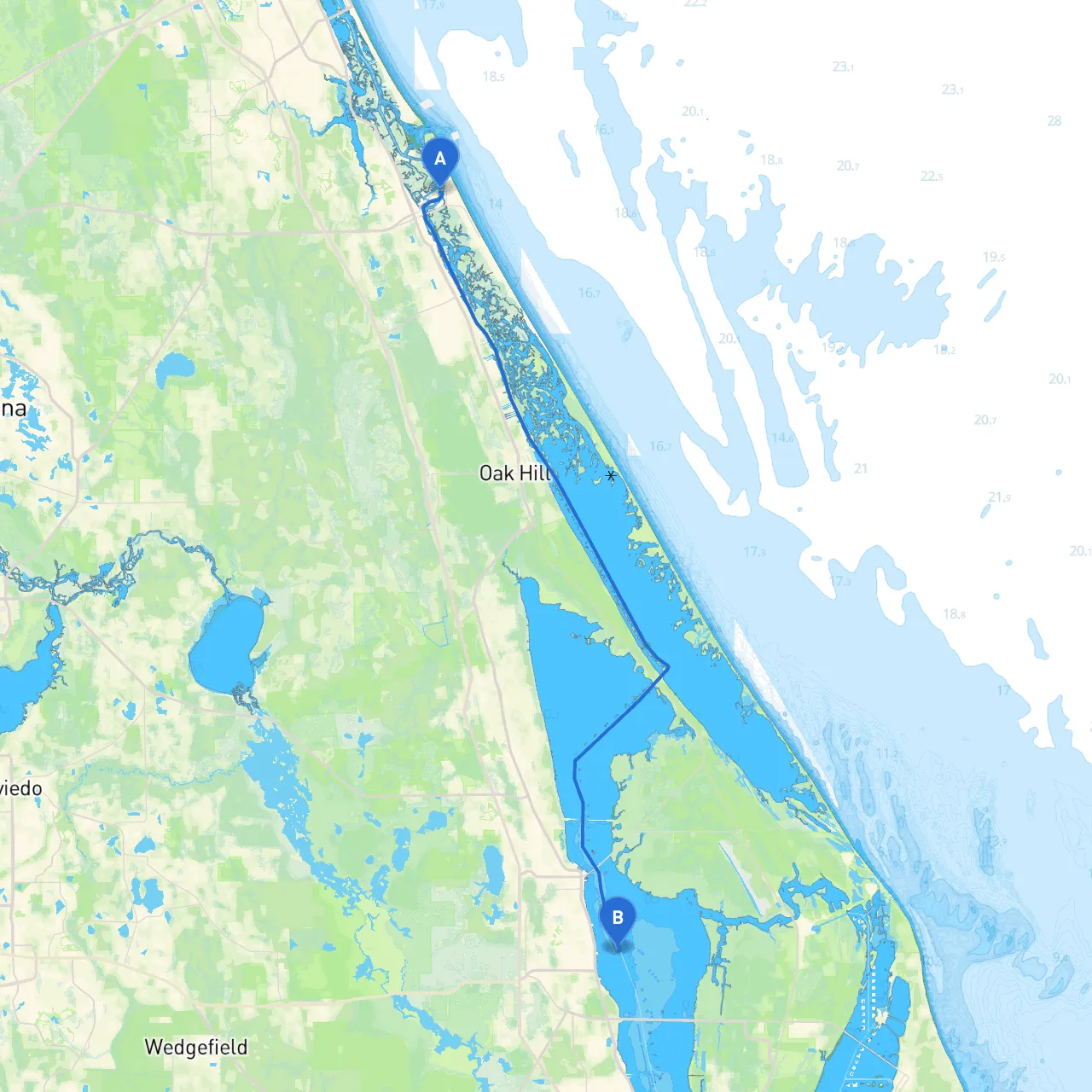
Section 1: Departure from New Smyrna BeachStarting your journey at New Smyrna Beach, you’ll cast off in an area famous for its charming scenery. Before you leave, it’s wise to check the local weather conditions using reliable boating apps like savvy navvy, which can provide real-time updates. The Intracoastal Waterway runs parallel to the scenic shorelines and is well-marked with navigational aids, including buoys and channel markers. Pay attention to the color coding of the buoys, as red marks should be kept on your right as you head up the river.
Points of Interest:
Section 2: Navigating the Indian RiverAs you depart New Smyrna Beach, follow the Intracoastal Waterway northbound. The Indian River Lagoon offers thriving marine life and beautiful landscapes. The channel is straightforward but do not lose sight of the chart and keep a lookout for local traffic. Make sure to have your charts plotted, as shallow areas can be present, particularly at low tide.
Hazards:Watch out for shifting shoals, especially near the entrance of the New Smyrna Beach inlet, where depths can change rapidly. The use of a depth sounder is strongly recommended, especially if your craft has a deeper draft.
Section 3: Points of Shelter Along the RouteAs you navigate your way toward Titusville, you will come upon several points of interest and potential anchorages:
1. Cedar Creek: Approximately halfway to Titusville, Cedar Creek offers a sheltered bay where boaters can stop to regroup or take cover if the weather turns unfavorable. The shallow waters here provide a safe harbor.
2. Eau Gallie Causeway: This area is an excellent place to pause for lunch or explore some nearby parks if you venture into the shore. The sites boast picnic areas and beautiful views of the Indian River.
3. Playalinda Beach (While a bit off the direct route): Just to the east near Titusville, this beach is well-known for its natural beauty and wildlife. Make sure to visit if time allows!
Section 4: Arrival in TitusvilleAs you approach Titusville, keep an eye out for the well-marked entrance to the harbor. Familiar landmarks, like the iconic Kennedy Space Center, will guide you towards your destination. Upon entering the waters near Titusville, reduce your speed to comply with local regulations and to ensure safety among fellow boaters and wildlife in the area.
Navigation Aids and Local Regulations:
ConclusionThe route from New Smyrna Beach to Titusville is adventurous yet safe, encouraging a focus on both navigation and enjoyment of the stunning natural beauty along Florida's Space Coast. Boaters of all types can appreciate the scenic views and vibrant wildlife while ensuring adherence to safety protocols. So grab your gear, set your course, and enjoy a memorable day on the water!